2010s Maps of Manitowoc County, Wisconsin
Explore 72 historic maps of Manitowoc County from the 2010s. These maps offer a rare glimpse into what life looked like during the 2010s — showing old roads, neighborhoods, homes, and landmarks that have changed or disappeared over time.
Whether you're researching your family's past, planning a metal detecting trip, or studying how Manitowoc County's landscape evolved across the 2010s, these high-resolution maps are a powerful tool for exploring the history of this region.
- Focus on a specific era: All maps on this page are from the 2010s, giving you a focused view of this time period.
- See what’s changed: Compare century-old streets, trails, and buildings to today's modern landscape using overlays and satellite layers.
- Research with precision: Use these maps for genealogy, historical research, land use analysis, or educational projects.
- View, download, or print: Maps are fully viewable online in high resolution, and can be downloaded or printed for your own records.
Start exploring Manitowoc County's history through authentic maps from the 2010s. This is your window into the past.
Manitowoc County, WI maps
(72)- 2010 Map of Cleveland East, 2010 Print
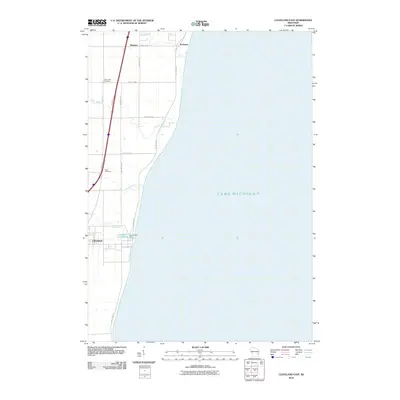 2010 Cleveland East2010 Print · USGSThe Lake Michigan shoreline of Manitowoc County is captured here in the early twenty-first century, showing the coastal reaches of Cleveland and Newton. Genealogists and local historians can locate Saint John Cemetery and trace the course of Point Creek or the Centerville Flowage 10.
 - 2010 Map of Cleveland West, 2010 Print
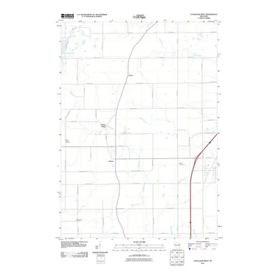 2010 Cleveland West2010 Print · USGSManitowoc County's rural character is on full display here in the early twenty-first century, showing a landscape shaped by farming and river drainages. Researchers can locate ancestral sites at Schwartzwald Cemetery or trace the early settlement footprints of Meeme and Osman.
 - 2010 Map of School Hill, 2010 Print
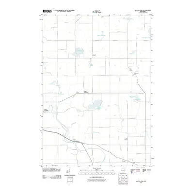 2010 School Hill2010 Print · USGSManitowoc County at the start of the 21st century remains a landscape of small river towns and glacial lakes. Family history researchers can locate numerous burial sites and former mill seats including Holy Trinity Cemetery, Rockville Dam, and the crossroads at Louis Corners.
 - 2010 Map of Brillion, 2010 Print
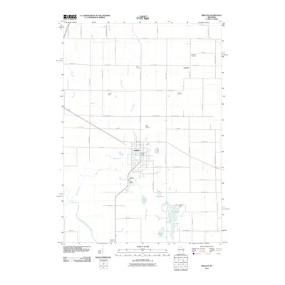 2010 Brillion2010 Print · USGSCalumet County was transitioning into the new millennium when this record of the Brillion area was made. Researchers can trace the layout of family-named roads and historic burial sites such as Bluff Cemetery, Kasson Cemetery, and Rantoul Cemetery.
 - 2010 Map of Potter, 2010 Print
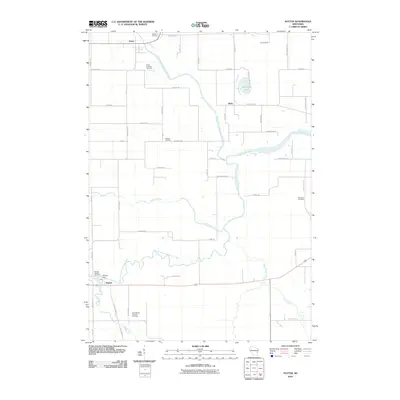 2010 Potter2010 Print · USGSCalumet County's rural river valleys are captured here in the early twenty-first century, showing the enduring agricultural landscape around Potter. Genealogists and local historians can trace family burial sites like Rantoul Cemetery or locate the Hayton Dam near the village of Hayton.
 - 2010 Map of Clarks Mills, 2010 Print
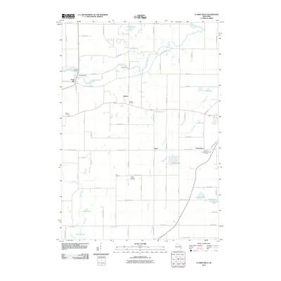 2010 Clarks Mills2010 Print · USGSManitowoc County at the start of the 21st century remains a landscape of historic cemeteries and river-fed settlements. Genealogists can trace family roots at Gjerpen Cemetery and Saint Mary Cemetery, or explore the old waterworks at Oslo Dam and Clarks Mill Dam.
 - 2010 Map of Whitelaw, 2010 Print
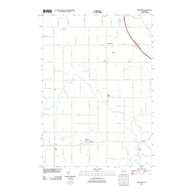 2010 Whitelaw2010 Print · USGSManitowoc County at the start of the 2010s reveals a landscape of enduring rural settlements and winding river valleys. Researchers can trace family history through local landmarks like Saint Michaels Catholic Cemetery and the hamlets of Whitelaw and Reifs Mills.
 - 2010 Map of Valders, 2010 Print
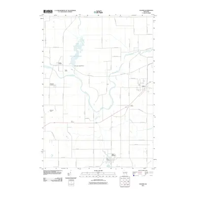 2010 Valders2010 Print · USGSManitowoc County is captured here in the early twenty-first century, showing a landscape of structured rural townships and winding waterways. Family historians can locate several burial grounds like Tyler Cemetery and Saint Gregory Cemetery or trace the drainage of Mud Creek.
 - 2010 Map of Mishicot, 2010 Print
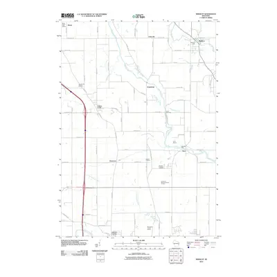 2010 Mishicot2010 Print · USGSManitowoc County at the start of the 2010s shows a landscape shaped by its river systems and small-town junctions. Genealogists and local historians can trace family roots through several sites including the Francis Creek National Cemetery and Melnik Presbyterian Cemetery.
 - 2010 Map of Two Rivers, 2010 Print
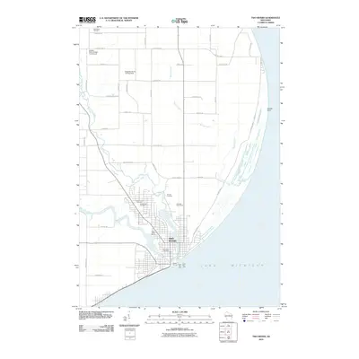 2010 Two Rivers2010 Print · USGSTwo Rivers and the Wisconsin shoreline come to life in this survey from the early 2000s. Genealogists and local historians can trace burial sites like Tannery Cemetery or locate the historic North Pier Light at the harbor entrance.
 - 2010 Map of Denmark, 2010 Print
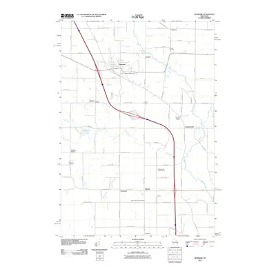 2010 Denmark2010 Print · USGSNorth of the Twin Rivers in the early twenty-first century, this area of Brown County maintains its deep rural roots and crossroads identity. Genealogists and local historians can trace family ties at the Bohemian Cemetery, West Danish Cemetery, or the village of Denmark.
 - 2010 Map of Kiel, 2010 Print
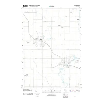 2010 Kiel2010 Print · USGSCalumet and Manitowoc counties are captured here in the early 2000s, centered on the growing communities of New Holstein and Kiel. Genealogists can trace family plots at New Holstein Public Cemetery or Saints Peter and Paul Cemetery while map enthusiasts track the path of the Sheboygan River.
 - 2010 Map of Larrabee, 2010 Print
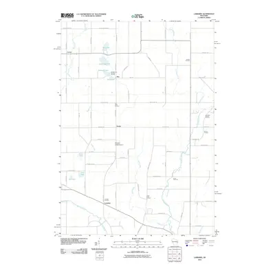 2010 Larrabee2010 Print · USGSManitowoc County remains a pastoral landscape of river forks and small hamlets in this recent survey. Researchers can trace family roots through several denominational sites, including the Bolt Bohemian Township Cemetery, Saint Mary Catholic Cemetery, and the quiet crossroads of Zander.
 - 2010 Map of Manitowoc, 2010 Print
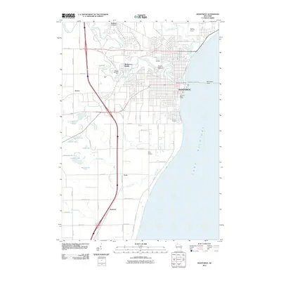 2010 Manitowoc2010 Print · USGSThe Lake Michigan shoreline and the winding Manitowoc River define this Wisconsin landscape during the early 21st century. Genealogists and researchers can trace local landmarks from Evergreen Cemetery to outlying settlements like Alverno and Duveneck.
 - 2010 Map of Reedsville, 2010 Print
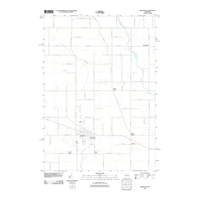 2010 Reedsville2010 Print · USGSEastern Wisconsin farmland near the turn of the 21st century remains anchored by its small communities and quiet creek valleys. Genealogists can trace family footprints through several local landmarks like Saint Marys Cemetery, Grimms, and Maple Grove.
 - 2010 Map of Morrison, 2010 Print
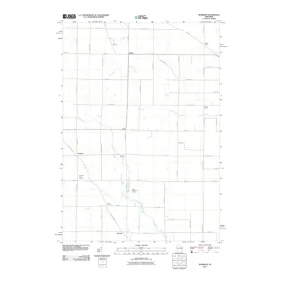 2010 Morrison2010 Print · USGSThe rural countryside of Brown County comes into focus in this late-career survey of eastern Wisconsin. Researchers can trace family roots through the grids of Wayside and Morrison or locate the historic Zion Cemetery and Emmanuel Cemetery.
 - 2010 Map of Two Creeks, 2010 Print
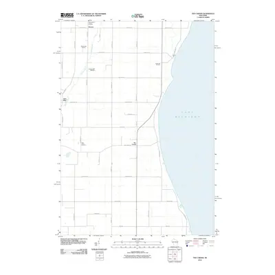 2010 Two Creeks2010 Print · USGSThe Lake Michigan shoreline of Manitowoc County is captured here in the early twenty-first century. Family researchers and historians can trace local lineages through the Sandy Bay Cemetery, the village of Norman, and landmarks like the Zellner 3WR-1928 Dam.
 - 2010 Map of Two Rivers OE S, 2010 Print
 2010 Two Rivers OE S2010 Print · USGSThe open waters of the Great Lakes take center stage in this early twenty-first century maritime survey. Genealogists and maritime historians can trace the Manitowoc-Ludington line across the expanse of Lake Michigan.
 - 2013 Map of Mishicot, 2013 Print
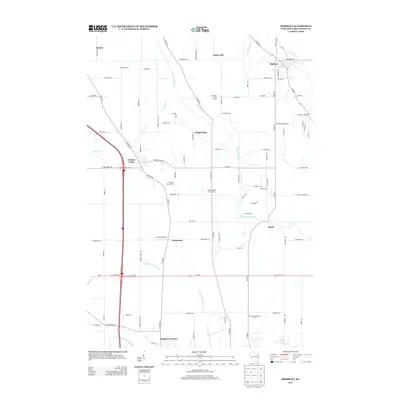 2013 Mishicot2013 Print · USGSManitowoc County rural life is centered on the twin river valleys in the early 21st century. Researchers can trace family dairy lands and small settlements like Mishicot, Kellners Corners, and Shoto, alongside unique sites like the Sandy Bay Mink Ranch.
 - 2013 Map of Whitelaw, 2013 Print
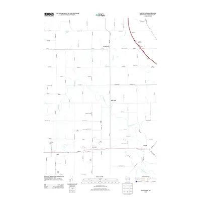 2013 Whitelaw2013 Print · USGSManitowoc County agriculture and small-town life are captured here during the early twenty-first century. Genealogists and local historians can trace family-named estates like Rosik Farm and Alimar Farms or locate the historic centers of Kellnersville and Cato.
 - 2013 Map of Valders, 2013 Print
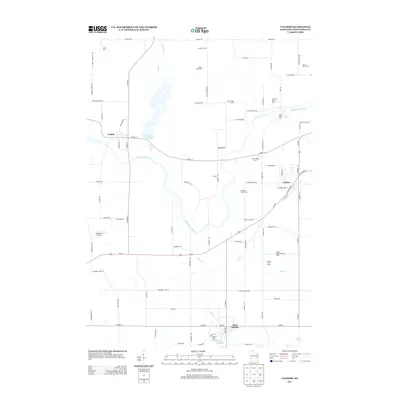 2013 Valders2013 Print · USGSWisconsin's dairy heartland in Manitowoc County is seen here in the early twenty-first century, showing a landscape defined by multi-generational family farms. Researchers can trace land use through named sites like Irishway Dairy Farm, find Cato Falls, and locate the Windhaven Airport and Saint Nazianz.
 - 2013 Map of Larrabee, 2013 Print
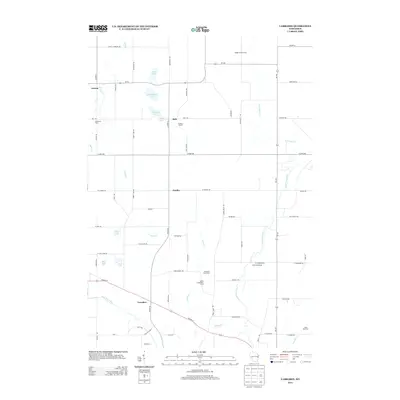 2013 Larrabee2013 Print · USGSManitowoc County agriculture and river valleys are captured here in the early twenty-first century. Researchers can locate specific family operations like Evergreen Dairy Farm and Steinhorst Farms or trace the West Twin River through Larrabee.
 - 2013 Map of Reedsville, 2013 Print
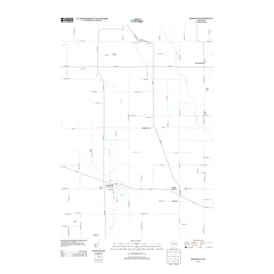 2013 Reedsville2013 Print · USGSDairy farming roots run deep in this Wisconsin landscape, where the early twenty-first century agricultural footprint is preserved in detail. Genealogists and local historians can locate specific family holdings like Baroun Century Farm and the Welsh Farm near Reedsville.
 - 2013 Map of Two Rivers OE S, 2013 Print
 2013 Two Rivers OE S2013 Print · USGSManitowoc County's shoreline and the vast expanse of the Great Lakes are recorded in this coastal survey from the early 2010s. Researchers and local historians can trace the path of Memorial Dr as it meets the edge of Lake Michigan.
 - 2013 Map of Clarks Mills, 2013 Print
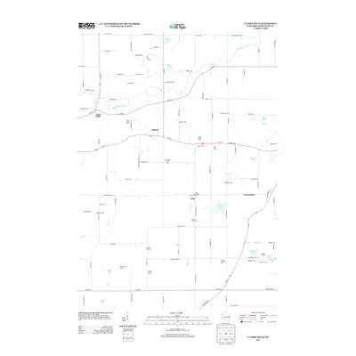 2013 Clarks Mills2013 Print · USGSAgricultural life in Manitowoc County remained centered on dairy production and family-held lands into the early twenty-first century. Genealogists and local historians can trace specific properties like Vogel Family Farms and the hamlets of Madsen and Newtonburg.
Showing maps 1-25 of 72
Top cities of Manitowoc County
- Manitowoc historical maps
- Two Rivers historical maps
- Kiel historical maps
- Newton historical maps
- Meeme historical maps
- Mishicot historical maps
See more
Frequently asked questions
- What are the different types of historical maps available for Manitowoc County?
- What is the oldest map of Manitowoc County?
- Where can I purchase historical maps of Manitowoc County for my home or office?
- Where can I download high-res historical maps of Manitowoc County?
- Are there historical topographic maps available for Manitowoc County?
- Is there historical aerial imagery available for Manitowoc County?
- Where are historical maps of Manitowoc County sourced from?