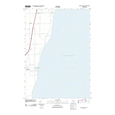
2010 Map of Cleveland East
USGS Topo · Published 2010About this map
Lake Michigan dominates the eastern half of this Manitowoc County landscape, shaping the coastal drainage patterns of several small waterways. The settlement of Cleveland anchors the southern portion of the sheet, situated near the mouth of Centerville Creek, where the Centerville Dam and Centerville Flowage 10 represent early industrial or water-management infrastructure. Moving north along the shoreline, the terrain is cut by Fischer Creek, Point Creek, and Pine Creek, which flow toward the lake from the rural interior.
Find a feature on this map
22 named features on this map. Tap any name to fly to it.
Don’t see what you’re looking for? This feature index may not catch every label — zoom into the map to look around manually.
Map Details
Editions of this 2010 Cleveland East Map
This is the sole edition of this map. No revisions or reprints were ever made.
Other maps of this area

1954 · Manitowoc
USGS Topo · 1:62,500

1954 · Cleveland
USGS Topo · 1:24,000

1954 · St. Wendel
USGS Topo · 1:24,000

1954 · Sheboygan North
USGS Topo · 1:62,500

1954 · Sheboygan North
USGS Topo · 1:24,000

1954 · Howards Grove
USGS Topo · 1:62,500

1954 · Howards Grove
USGS Topo · 1:24,000

1954 · Reedsville
USGS Topo · 1:62,500

1954 · Manitowoc
USGS Topo · 1:24,000

1954 · Milwaukee
USGS Topo · 1:250,000