Old Maps of Cooperstown, Wisconsin for Metal Detecting
Plan your next treasure hunt with 31 historic maps of Cooperstown. Find old homesites, ghost towns, trails, and gathering spots that may be lost to time — perfect for identifying promising metal detecting locations.
- Locate forgotten sites: Uncover places like long-lost settlements, abandoned rail lines, or gathering spots.
- Plan better hunts: Use map overlays combined with LiDAR or satellite views to narrow in on historically rich areas.
- Made for detectorists: Thousands of hobbyists use these maps to discover relics, coins, and hidden history.
Use these historic maps to boost your research and find new opportunities beneath the surface of Cooperstown.
Cooperstown, WI maps
(31)- 1954 Map of Denmark, 1956 Print
 1954 Denmark1956 Print · USGSSoutheast of Green Bay in the mid-fifties, this area shows a dense network of rural schoolhouses and parish churches. Genealogists can trace family roots through sites like Little Irish Church Cem, Coppens Corner, and the East Wayside Sch (Abandoned).2 unique versions available
 - 1954 Map of Reedsville, 1956 Print
 1954 Reedsville1956 Print · USGSManitowoc County's dairy heartland is captured in the mid-fifties, showing a landscape densely dotted with rural schoolhouses and family-named crossroads. Genealogists and historians can locate dozens of institutions like St Marys Cem, Cato Falls Sch, and the Maple Crest Sanatorium.2 unique versions available
 - 1954 Map of Manitowoc, 1968 Print
 1954 Manitowoc1968 Print · USGSLake Michigan served as a vital transit corridor in the mid-fifties, with car and auto ferries linking the industrial ports of Wisconsin to the Michigan timberlands. Genealogists and maritime historians can trace active ferry routes like the Ann Arbor Railway Car and Auto Ferry and locate early settlements from Brussels to Algoma.2 unique versions available
 - 1958 Map of Manitowoc
 1958 Manitowoc1958 Print · USGSLake Michigan and its shorelines are shown in the late fifties when maritime transport defined the region. Researchers can trace the routes of the Ann Arbor Railroad Ferry or locate old settlements like St. Nazianz, Rostock, and Two Creeks.
 - 1978 Map of Denmark, 1979 Print
 1978 Denmark1979 Print · USGSBrown County and Manitowoc County crossroads come alive in the late seventies, showing the transition from village centers to protected forest lands. Genealogists can locate family names at West Danish Cem or trace the early paths of Denmark and Maribel.
 - 1978 Map of Reedsville, 1979 Print
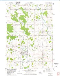 1978 Reedsville1979 Print · USGSManitowoc County agriculture and industry are captured here in the late seventies, centered on the rail-served village of Reedsville. Genealogists and local historians can trace family church and burial sites like Zion Evergreen Cem and search for old schoolhouses such as Wayside Sch.
 - 1978 Map of Morrison, 1979 Print
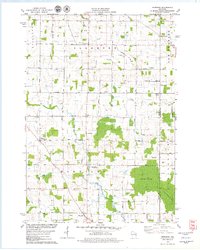 1978 Morrison1979 Print · USGSSouthern Brown County's rural townships are captured here in the late seventies, showing a landscape of dairy farms and crossroads settlements. Researchers can locate historic community centers like Morrison and Wayside alongside Zion Cem and Immanuel Sch.
 - 1978 Map of Whitelaw, 1979 Print
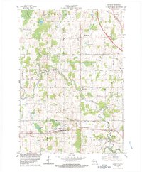 1978 Whitelaw1979 Print · USGSManitowoc County farmland in the late seventies is captured here at the height of its dairy-era maturity. Genealogists can trace family footprints near Reifs Mills, Kellnersville, and Kossuth Cem or locate the historic Maple Crest Sanitarium.2 unique versions available
 - 1984 Map of Manitowoc, 1985 Print
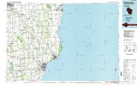 1984 Manitowoc1985 Print · USGSThe Lake Michigan shoreline of eastern Wisconsin is captured here in the mid-eighties, showing the bustling ports and rail-fed industry of the era. Genealogists and researchers can trace family-named sites near Stangelville, find the Francis Creek National Cem, or locate the U S Coast Guard Station.2 unique versions available
 - 1992 Map of Morrison, 1996 Print
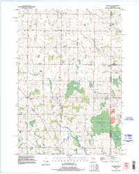 1992 Morrison1996 Print · USGSSouthern Brown County remained a landscape of dispersed farmsteads and rural hamlets in the 1990s. Researchers can trace family roots through sites like Zion Cemetery and follow the routes between small settlements like Hebels Corners, Morrison, and Wayside.
 - 1992 Map of Reedsville, 1996 Print
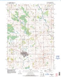 1992 Reedsville1996 Print · USGSThe rural landscape of Manitowoc County comes alive in the 1990s, centered on the village of Reedsville and its surrounding hamlets. Genealogists can trace family roots at St Marys Church or through several local burial sites like Frieden Cemetery and Zion Evergreen Cemetery.
 - 2010 Map of Whitelaw, 2010 Print
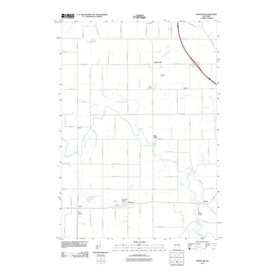 2010 Whitelaw2010 Print · USGSManitowoc County at the start of the 2010s reveals a landscape of enduring rural settlements and winding river valleys. Researchers can trace family history through local landmarks like Saint Michaels Catholic Cemetery and the hamlets of Whitelaw and Reifs Mills.
 - 2010 Map of Denmark, 2010 Print
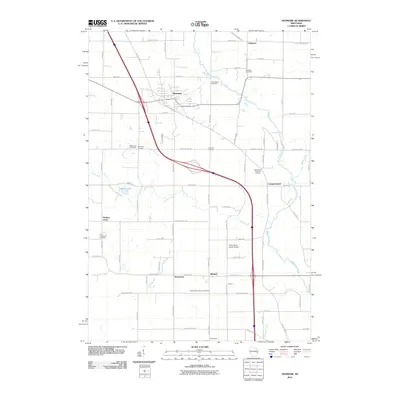 2010 Denmark2010 Print · USGSNorth of the Twin Rivers in the early twenty-first century, this area of Brown County maintains its deep rural roots and crossroads identity. Genealogists and local historians can trace family ties at the Bohemian Cemetery, West Danish Cemetery, or the village of Denmark.
 - 2010 Map of Reedsville, 2010 Print
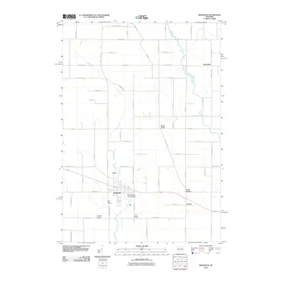 2010 Reedsville2010 Print · USGSEastern Wisconsin farmland near the turn of the 21st century remains anchored by its small communities and quiet creek valleys. Genealogists can trace family footprints through several local landmarks like Saint Marys Cemetery, Grimms, and Maple Grove.
 - 2010 Map of Morrison, 2010 Print
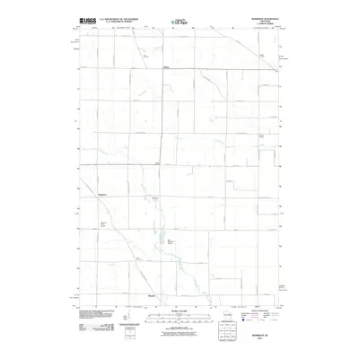 2010 Morrison2010 Print · USGSThe rural countryside of Brown County comes into focus in this late-career survey of eastern Wisconsin. Researchers can trace family roots through the grids of Wayside and Morrison or locate the historic Zion Cemetery and Emmanuel Cemetery.
 - 2013 Map of Whitelaw, 2013 Print
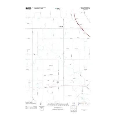 2013 Whitelaw2013 Print · USGSManitowoc County agriculture and small-town life are captured here during the early twenty-first century. Genealogists and local historians can trace family-named estates like Rosik Farm and Alimar Farms or locate the historic centers of Kellnersville and Cato.
 - 2013 Map of Reedsville, 2013 Print
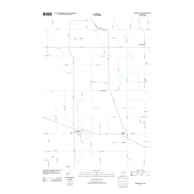 2013 Reedsville2013 Print · USGSDairy farming roots run deep in this Wisconsin landscape, where the early twenty-first century agricultural footprint is preserved in detail. Genealogists and local historians can locate specific family holdings like Baroun Century Farm and the Welsh Farm near Reedsville.
 - 2013 Map of Denmark, 2013 Print
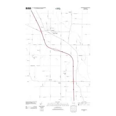 2013 Denmark2013 Print · USGSEastern Wisconsin’s dairy country and rural crossroads are captured here during a period of modern growth and agricultural stability. Genealogists and local historians can trace the development of Denmark, Maribel, and smaller nodes like Koslowski Corners or Fontenoy.
 - 2013 Map of Morrison, 2013 Print
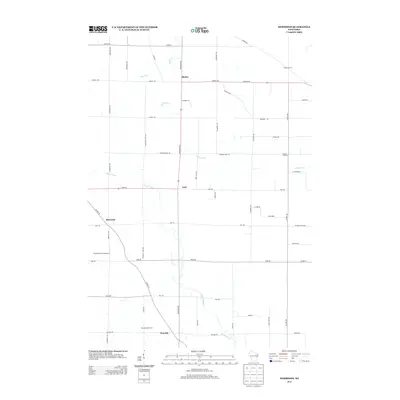 2013 Morrison2013 Print · USGSAgricultural Brown County is captured here in the early twenty-first century, showing a landscape defined by dairy farming and traditional crossroads. Genealogists can trace family-named locations such as Pelishek Corners and Hebels Corners or find the rural Buchholz Farm Airport.
 - 2015 Map of Morrison, 2015 Print
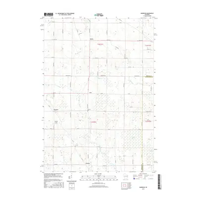 2015 Morrison2015 Print · USGSSouthern Brown County's rural township remains centered on historical crossroads settlements in the mid-2010s. Genealogists and local historians can trace family locations near Emmanuel Cemetery, the private Buchholz Farm Airport, and the village of Morrison.
 - 2015 Map of Whitelaw, 2015 Print
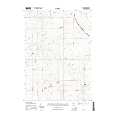 2015 Whitelaw2015 Print · USGSCovers Cooperstown, including Whitelaw, Kellnersville, and other nearby areas
 - 2015 Map of Reedsville, 2015 Print
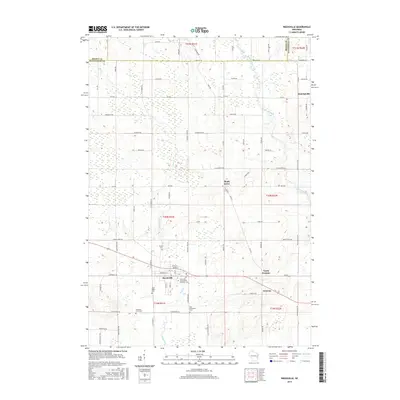 2015 Reedsville2015 Print · USGSThe rural landscapes of Brown and Manitowoc counties are captured here in the mid-2010s, centered on the village of Reedsville. Genealogists and local historians can trace family locations near Maple Grove or several area cemeteries like Zion Evergreen Cem.
 - 2015 Map of Denmark, 2015 Print
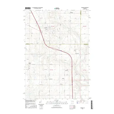 2015 Denmark2015 Print · USGSEastern Wisconsin at the turn of the twenty-first century reveals a landscape of deep-rooted rural communities and glacial rivers. Genealogists can trace family landmarks like the West Danish Cem or Bohemian Cem and locate historic hamlets such as Fontenoy and Rosecrans.
 - 2018 Map of Reedsville, 2018 Print
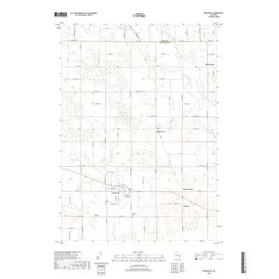 2018 Reedsville2018 Print · USGSManitowoc and Brown counties are mapped here in the late twenty-teens, showing the enduring rural character of eastern Wisconsin. Local historians can trace the footprints of communities like Reedsville and Grimms, or locate family sites at Saint Mary's Cem and Frieden Cem.
 - 2018 Map of Morrison, 2018 Print
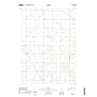 2018 Morrison2018 Print · USGSThe rural landscape of eastern Wisconsin is seen here in the late 2010s, defined by its traditional farm-to-market road network and small village centers. Researchers can trace family history through Zion Cem, or locate landmarks like Morrison Swamp and the village of Wayside.
Showing maps 1-25 of 31
Top cities near Cooperstown
- Green Bay historical maps
- Manitowoc historical maps
- De Pere historical maps
- Allouez historical maps
- Bellevue historical maps
- Two Rivers historical maps
See more
Top neighborhoods of Cooperstown
Frequently asked questions
- What are the different types of historical maps available for Cooperstown?
- What is the oldest map of Cooperstown?
- Where can I purchase historical maps of Cooperstown for my home or office?
- Where can I download high-res historical maps of Cooperstown?
- Are there historical topographic maps available for Cooperstown?
- Is there historical aerial imagery available for Cooperstown?
- Where are historical maps of Cooperstown sourced from?