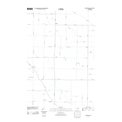
2013 Map of Morrison
USGS Topo · Published 2013About this map
Morrison and Wayside anchor this agricultural landscape in Brown County, where the dairy industry remains a central pillar of the local geography. The presence of Wayside Dairy Farm and Ness Dairy illustrates the continued importance of large-scale farming operations in this part of Wisconsin. The terrain is defined by a network of waterways including Devils River, the Branch River, and Bower Cr, which cut through the rural townships. Small traditional crossroads settlements like Lark and Shirley are joined by distinct family landmarks such as Hebels Corners and Pelishek Corners, highlighting the long-standing genealogical roots of the area. Aviation interests are represented by the Buchholz Farm Airport, a private airstrip located just west of the Morrison settlement, while a dense grid of county highways such as Co HWY-W and Co HWY-NN facilitates the movement of goods between these farmsteads and surrounding markets.
Find a feature on this map
50 named features on this map. Tap any name to fly to it.
Don’t see what you’re looking for? This feature index may not catch every label — zoom into the map to look around manually.
Map Details
Editions of this 2013 Morrison Map
This is the sole edition of this map. No revisions or reprints were ever made.
Other maps of this area

1954 · De Pere
USGS Topo · 1:62,500

1954 · Denmark
USGS Topo · 1:62,500

1954 · De Pere
USGS Topo · 1:24,000

1954 · Chilton
USGS Topo · 1:62,500

1954 · Reedsville
USGS Topo · 1:62,500

1954 · Manitowoc
USGS Topo · 1:250,000

1954 · Bellevue
USGS Topo · 1:24,000

1955 · Green Bay
USGS Topo · 1:250,000

1958 · Manitowoc
USGS Topo · 1:250,000

1974 · Brillion
USGS Topo · 1:24,000