2000s (21st Century) Maps of Eau Pleine, Wisconsin
Explore 10 historic maps of Eau Pleine from the 2000s (21st Century). These maps offer a rare glimpse into what life looked like during the 2000s — showing old roads, neighborhoods, homes, and landmarks that have changed or disappeared over time.
Whether you're researching your family's past, planning a metal detecting trip, or studying how Eau Pleine's landscape evolved across the 2000s, these high-resolution maps are a powerful tool for exploring the history of this region.
- Focus on a specific era: All maps on this page are from the 2000s, giving you a focused view of this time period.
- See what’s changed: Compare century-old streets, trails, and buildings to today's modern landscape using overlays and satellite layers.
- Research with precision: Use these maps for genealogy, historical research, land use analysis, or educational projects.
- View, download, or print: Maps are fully viewable online in high resolution, and can be downloaded or printed for your own records.
Start exploring Eau Pleine's history through authentic maps from the 2000s. This is your window into the past.
Eau Pleine, WI maps
(10)- 2010 Map of Stratford, 2010 Print
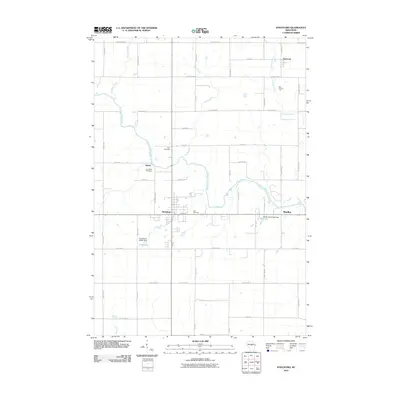 2010 Stratford2010 Print · USGSCovers Eau Pleine, including McMillan, Stratford, and other nearby areas
 - 2010 Map of Little Rose, 2010 Print
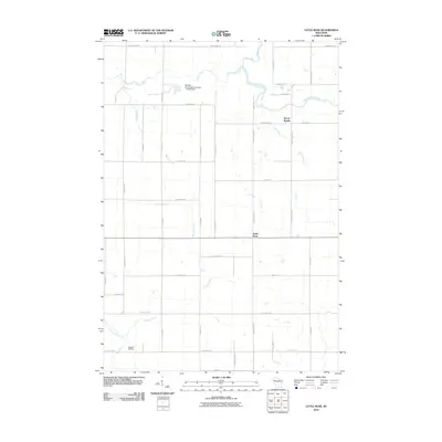 2010 Little Rose2010 Print · USGSCovers Eau Pleine, including McMillan, Frankfort, and other nearby areas
 - 2013 Map of Little Rose, 2013 Print
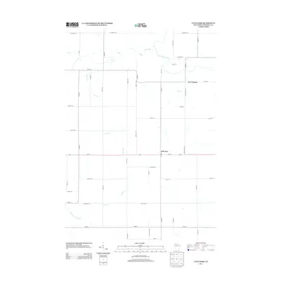 2013 Little Rose2013 Print · USGSCovers Eau Pleine, including McMillan, Frankfort, and other nearby areas
 - 2013 Map of Stratford, 2013 Print
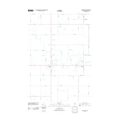 2013 Stratford2013 Print · USGSCovers Eau Pleine, including McMillan, Stratford, and other nearby areas
 - 2015 Map of Stratford, 2015 Print
 2015 Stratford2015 Print · USGSCovers Eau Pleine, including McMillan, Stratford, and other nearby areas
 - 2015 Map of Little Rose, 2015 Print
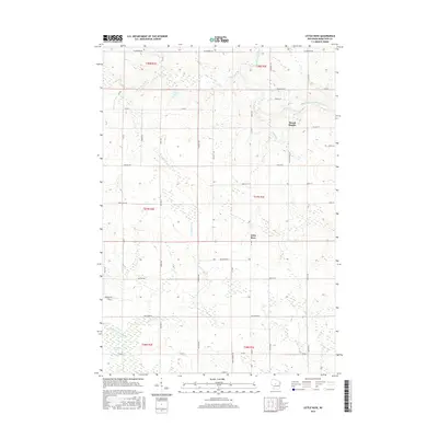 2015 Little Rose2015 Print · USGSCovers Eau Pleine, including McMillan, Frankfort, and other nearby areas
 - 2018 Map of Stratford, 2018 Print
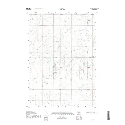 2018 Stratford2018 Print · USGSCovers Eau Pleine, including McMillan, Stratford, and other nearby areas
 - 2018 Map of Little Rose, 2018 Print
 2018 Little Rose2018 Print · USGSCovers Eau Pleine, including McMillan, Frankfort, and other nearby areas
 - 2022 Map of Stratford, 2022 Print
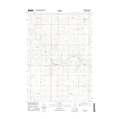
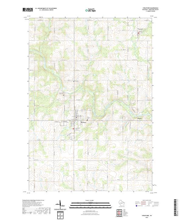 2022 Stratford2022 Print · USGSThe village of Stratford and the Big Eau Pleine River valley are captured here in the early twenty-first century. Genealogists can locate family burial sites at Saint Joseph Catholic Cem or trace the rural corners of Fenwood and Bradley.
 - 2022 Map of Little Rose, 2022 Print
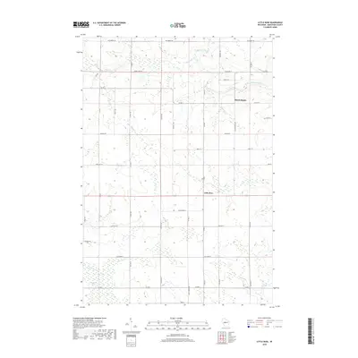
 2022 Little Rose2022 Print · USGSMarathon County's rural landscape is captured here in the early twenty-first century, showing the agricultural heartland between two river systems. Genealogists and historians can trace the small communities of March Rapids and Little Rose alongside the McMillan Marsh.
End of results
Showing maps 1-10 of 10
Top cities near Eau Pleine
- Marshfield historical maps
- McMillan historical maps
- Spencer historical maps
- Stratford historical maps
- Edgar historical maps
- Abbotsford historical maps
See more
Top neighborhoods of Eau Pleine
Frequently asked questions
- What are the different types of historical maps available for Eau Pleine?
- What is the oldest map of Eau Pleine?
- Where can I purchase historical maps of Eau Pleine for my home or office?
- Where can I download high-res historical maps of Eau Pleine?
- Are there historical topographic maps available for Eau Pleine?
- Is there historical aerial imagery available for Eau Pleine?
- Where are historical maps of Eau Pleine sourced from?