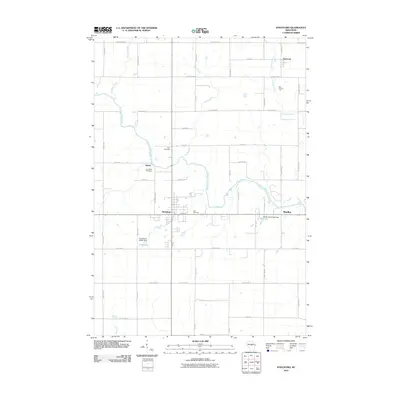
2010 Map of Stratford
USGS Topo · Published 2010About this map
The Big Eau Pleine River defines the central topography of this Marathon County region, winding through a landscape of structured rural grid roads and small valley settlements. The village of Stratford serves as a primary hub, situated near the riverbanks and the intersection of Webertown Ave and highway routes. To the north and west, the smaller locales of Weber and Fenwood anchor the agricultural and wooded surroundings. Local history is etched into the landscape at Zion Cemetery and Eau Pleine Cemetery, while the river's flow is managed by infrastructure like the Lloyd Keller E8861 Dam and Brock-Clint E7008 Dam. Numerous tributaries, including Rock Creek, Fenwood Creek, and Hamann Creek, feed into the river system, carving small basins between the straight-edged farm lanes and county highways.
Find a feature on this map
52 named features on this map. Tap any name to fly to it.
Don’t see what you’re looking for? This feature index may not catch every label — zoom into the map to look around manually.
Map Details
Editions of this 2010 Stratford Map
This is the sole edition of this map. No revisions or reprints were ever made.
Other maps of this area

1902 · Marathon
USGS Topo · 1:125,000

1953 · Marathon
USGS Topo · 1:48,000

1953 · Stratford
USGS Topo · 1:48,000

1953 · Eau Claire
USGS Topo · 1:250,000

1954 · Marshfield
USGS Topo · 1:62,500

1955 · Green Bay
USGS Topo · 1:250,000

1956 · Milladore
USGS Topo · 1:48,000

1958 · Eau Claire
USGS Topo · 1:250,000

1963 · Marathon
USGS Topo · 1:62,500

1963 · Stratford
USGS Topo · 1:62,500