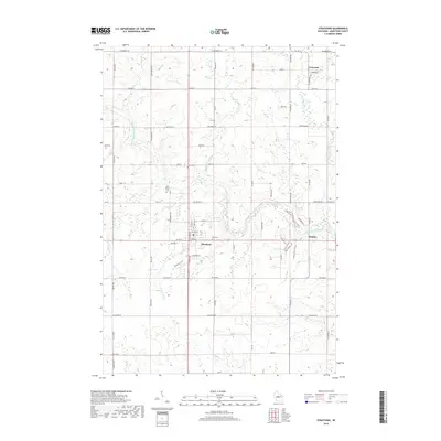
2018 Map of Stratford
USGS Topo · Published 2018About this map
The Big Eau Pleine River winds through this central Wisconsin landscape, anchoring a rural network defined by the village of Stratford and the smaller settlements of Fenwood and Bradley. This modern survey illustrates a long-standing agricultural and timber-linked geography, where watercourses like Hamann Creek and Connor Mill Creek continue to shape the terrain. The presence of the 1 Reservoir suggests contemporary water management in a region historically defined by its drainage into the larger Wisconsin River system.
Find a feature on this map
76 named features on this map. Tap any name to fly to it.
Don’t see what you’re looking for? This feature index may not catch every label — zoom into the map to look around manually.
Map Details
Editions of this 2018 Stratford Map
This is the sole edition of this map. No revisions or reprints were ever made.
Other maps of this area

1902 · Marathon
USGS Topo · 1:125,000

1953 · Marathon
USGS Topo · 1:48,000

1953 · Stratford
USGS Topo · 1:48,000

1953 · Eau Claire
USGS Topo · 1:250,000

1954 · Marshfield
USGS Topo · 1:62,500

1955 · Green Bay
USGS Topo · 1:250,000

1956 · Milladore
USGS Topo · 1:48,000

1958 · Eau Claire
USGS Topo · 1:250,000

1963 · Marathon
USGS Topo · 1:62,500

1963 · Stratford
USGS Topo · 1:62,500