Old Maps of Porterfield, Wisconsin for Metal Detecting
Plan your next treasure hunt with 42 historic maps of Porterfield. Find old homesites, ghost towns, trails, and gathering spots that may be lost to time — perfect for identifying promising metal detecting locations.
- Locate forgotten sites: Uncover places like long-lost settlements, abandoned rail lines, or gathering spots.
- Plan better hunts: Use map overlays combined with LiDAR or satellite views to narrow in on historically rich areas.
- Made for detectorists: Thousands of hobbyists use these maps to discover relics, coins, and hidden history.
Use these historic maps to boost your research and find new opportunities beneath the surface of Porterfield.
Porterfield, WI maps
(42)- 1939 Map of Marinette
 1939 Marinette1939 Print · USGSThe Green Bay shoreline and the Menominee River border come to life in the late 1930s as industrial and rural landscapes intersect. Genealogists can trace family footprints through numerous rural schools like Garfield Sch and Columbus Sch or the settlement at Winesville.
 - 1939 Map of Porterfield, 1952 Print
 1939 Porterfield1952 Print · USGSMarinette County was a landscape of timber, power, and scattered rural schoolhouses in the years just before the war. Genealogists can trace family roots through dozens of local landmarks like Behnke Sch, St Johns Ch, and the Harmony Cem.
 - 1942 Map of Porterfield
 1942 Porterfield1942 Print · USGSMarinette and Oconto counties are documented here in the early 1940s, showing a landscape defined by the Peshtigo River and its many rural school districts. Researchers can find dozens of local landmarks, including Bagley Junction, Harmony Cem, and the Potato Rapids Power Dam.
 - 1942 Map of Wausaukee
 1942 Wausaukee1942 Print · USGSMarinette County in the early 1940s was a landscape of timber-towns and railroads winding toward the Michigan border. Genealogists can locate family-named rural schools like Shanebrook Sch and Gallow Sch or trace the early community at WAUSAUKEE.
 - 1947 Map of Wausaukee
 1947 Wausaukee1947 Print · USGSMarinette County in the late nineteen-forties centers on the village of Wausaukee and its surrounding glacial lake country. Trace the locations of rural schoolhouses like Shanebrook Sch and Gallow Sch, or locate family sites near Cedarville and the Pine Hill Cem.
 - 1954 Map of Escanaba, 1967 Print
 1954 Escanaba1967 Print · USGSThe Upper Peninsula and Door County shorelines meet here in the mid-fifties, showing the vital maritime and timber networks of the Great Lakes. Researchers can trace historic rail lines, old fire lookouts like the Stonington Fire Tower, and island settlements such as Washington Island.2 unique versions available
 - 1957 Map of Escanaba
 1957 Escanaba1957 Print · USGSThe Upper Peninsula and Door County shorelines meet in the mid-fifties, capturing a landscape of timber, iron, and maritime trade. Genealogists and local historians can trace the Chicago & North Western RR through settlements like Hermansville or locate St Vitals Church and the Potawatome Indian Reservation.
 - 1958 Map of Escanaba
 1958 Escanaba1958 Print · USGSNorthern Lake Michigan maritime commerce and timberlands are captured here in the mid-fifties. Genealogists and historians can trace rail networks like the Escanaba and Lake Superior or locate island settlements such as Detroit Harbor and Fish Creek.
 - 1963 Map of Porterfield, 1964 Print
 1963 Porterfield1964 Print · USGSMarinette County in the early sixties is a landscape of river-powered industry and sprawling rail corridors connecting small farming hamlets. Genealogists can locate family ties at Porterfield Ch Cem or trace the rural school system through the Fairmont Sch and Job Place Sch.2 unique versions available
 - 1963 Map of Wausaukee, 1964 Print
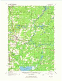 1963 Wausaukee1964 Print · USGSMarinette County was a hub of timber and rail activity in the early 1960s, centered on the Menominee River border. Local historians can trace the Chicago Milwaukee St Paul and Pacific RR through Amberg, Wausaukee, and the small settlement of Sweetheart City.
 - 1963 Map of Marinette West, 1964 Print
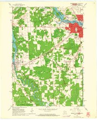 1963 Marinette West1964 Print · USGSMarinette and Peshtigo were bustling hubs of industry and education in the early sixties as they expanded along their respective rivers. Genealogists and historians can trace numerous family sites at Forest Home Cemetery and Riverside Cemetery, or locate vanished rural landmarks like Stewart Sch.2 unique versions available
 - 1963 Map of Chappee Rapids, 1964 Print
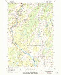 1963 Chappee Rapids1964 Print · USGSThe Menominee River borderlands are captured here in the mid-1960s, showing the rural transition between Wisconsin and Michigan. Genealogists and historians can trace family locations near St Marys Mission, the Winesville Cem, and the tracks of the Chicago Milwaukee St Paul and Pacific railroad.2 unique versions available
 - 1963 Map of Marinette, 1965 Print
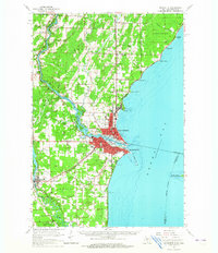 1963 Marinette1965 Print · USGSThe industrial twin cities of the Michigan-Wisconsin border are captured here in the early sixties, centered on the Menominee River and Green Bay coast. Genealogists and historians can trace rail lines, rural schoolhouses like Hamilton Sch, and family sites at Riverside Cem.
 - 1981 Map of Marinette, 1982 Print
 1981 Marinette1982 Print · USGSThe Menominee River valley and Door County peninsula are captured here in the early 1980s, showcasing the region's timber and maritime foundations. Researchers can trace historic shorelines from Fish Creek to Deathdoor Bluff or locate inland landmarks like Lake Noquebay and Kangaroo Lake.
 - 1982 Map of Harmony, 1983 Print
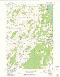 1982 Harmony1983 Print · USGSMarinette County in the early eighties shows a landscape of river-driven industry and quiet rural crossroads. Genealogists and local historians can trace family-named routes like Schonfeldt Lane while locating the St Johns Sch Church and Harmony Cem.
 - 1982 Map of Bear Point, 1983 Print
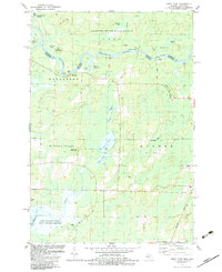 1982 Bear Point1983 Print · USGSThe Menominee River border between Michigan and Wisconsin is captured here in the early eighties, showcasing a wilderness of state forests and hunting grounds. Researchers can locate family landmarks and rural infrastructure like Sturgeon Landing, the Middle Inlet Lookout Tower, and Bear Point County Park.
 - 1982 Map of Porterfield, 1983 Print
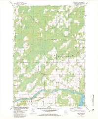 1982 Porterfield1983 Print · USGSMarinette County in the early eighties was a landscape of river-fed lowlands and busy rail corridors. Genealogists and local historians can trace family locations near Porterfield, the St Joseph Cem near Walsh, and the rails at Bagley Junction.
 - 2010 Map of Harmony, 2010 Print
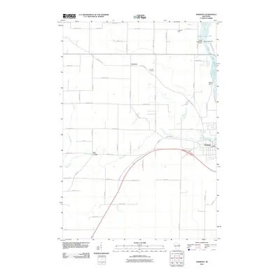 2010 Harmony2010 Print · USGSThe riverfront town of Peshtigo and the outlying farms of Harmony are captured here just after the turn of the millennium. Local historians can trace the industrial footprint of the Potato Rapids Dam or locate family landmarks like Harmony Cemetery and May Corner.
 - 2010 Map of Porterfield, 2010 Print
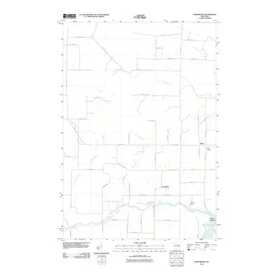 2010 Porterfield2010 Print · USGSWisconsin's rural Marinette County is captured here in the early twenty-first century as a network of farm roads and river valleys. Researchers can trace local heritage through Saint Joseph Cemetery or follow the Peshtigo River to Bagley Junction.
 - 2011 Map of Chappee Rapids, 2011 Print
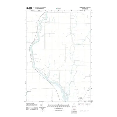 2011 Chappee Rapids2011 Print · USGSThe Menominee River borderlands are captured here in the early twenty-first century as they wind through Michigan and Wisconsin. Trace local family history and rural settlements at Saint Mary's Mission Cemetery, Bagley Junction, and Rubys Corner.
 - 2011 Map of Bear Point, 2011 Print
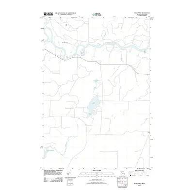 2011 Bear Point2011 Print · USGSThe Wisconsin-Michigan border country along the Menominee River comes into focus in this early twenty-first-century survey. Researchers can trace the riverbank from Sturgeon Landing past Bear Point to the Middle Inlet Lookout Tower.
 - 2011 Map of Marinette West, 2011 Print
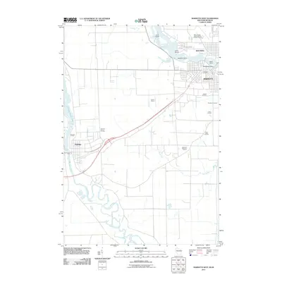 2011 Marinette West2011 Print · USGSThe Wisconsin-Michigan border comes to life in this early 21st-century survey of the Marinette and Peshtigo area. Researchers can trace land use near the Menominee River, locating several family-history sites such as the Hebrew Cemetery and Indian Mound.
 - 2013 Map of Porterfield, 2013 Print
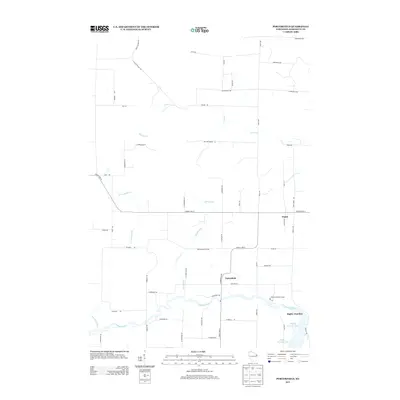 2013 Porterfield2013 Print · USGSMarinette County at the start of the 2010s shows a quiet rural landscape defined by the Peshtigo River and scattered small settlements. Genealogists and local historians can trace family road names and locations like Porterfield, Walsh, and Brown Memorial Camp.
 - 2013 Map of Harmony, 2013 Print
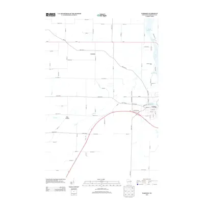 2013 Harmony2013 Print · USGSMarinette County's river-driven economy and rural townships are captured here in the early twenty-first century. Researchers can trace land use near Peshtigo or find family landmarks like May Corner and the Peshtigo Lookout Tower along the water's edge.
 - 2013 Map of Marinette West, 2013 Print
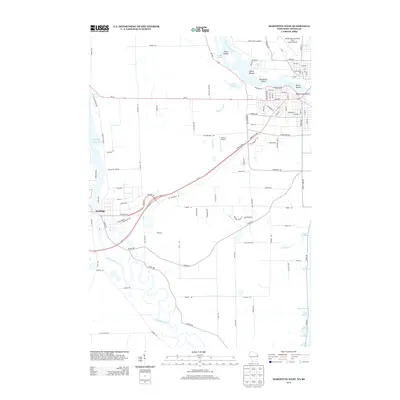 2013 Marinette West2013 Print · USGSThe Wisconsin-Michigan border comes into focus in this early twenty-first century survey of the twin-city region. Researchers can trace the winding Peshtigo River and locate significant local landmarks like the Indian Mound and Stephenson Island.
Showing maps 1-25 of 42
Top cities near Porterfield
- Marinette historical maps
- Menominee historical maps
- Peshtigo historical maps
- Peshtigo historical maps
- Beaver historical maps
- Ingallston historical maps
See more
Top neighborhoods of Porterfield
- Rubys Corner historical maps
- Bagley Junction historical maps
- Walsh historical maps
- Miles historical maps
Frequently asked questions
- What are the different types of historical maps available for Porterfield?
- What is the oldest map of Porterfield?
- Where can I purchase historical maps of Porterfield for my home or office?
- Where can I download high-res historical maps of Porterfield?
- Are there historical topographic maps available for Porterfield?
- Is there historical aerial imagery available for Porterfield?
- Where are historical maps of Porterfield sourced from?