2000s (21st Century) Maps of Granville, Milwaukee
Explore 10 historic maps of Granville from the 2000s (21st Century). These maps offer a rare glimpse into what life looked like during the 2000s — showing old roads, neighborhoods, homes, and landmarks that have changed or disappeared over time.
Whether you're researching your family's past, planning a metal detecting trip, or studying how Granville's landscape evolved across the 2000s, these high-resolution maps are a powerful tool for exploring the history of this region.
- Focus on a specific era: All maps on this page are from the 2000s, giving you a focused view of this time period.
- See what’s changed: Compare century-old streets, trails, and buildings to today's modern landscape using overlays and satellite layers.
- Research with precision: Use these maps for genealogy, historical research, land use analysis, or educational projects.
- View, download, or print: Maps are fully viewable online in high resolution, and can be downloaded or printed for your own records.
Start exploring Granville's history through authentic maps from the 2000s. This is your window into the past.
Granville, Milwaukee maps
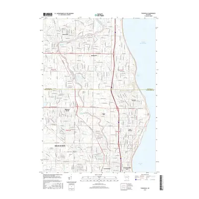
(10)- 2010 Map of Thiensville, 2010 Print
 2010 Thiensville2010 Print · USGSCovers Granville, including Milwaukee, Mequon, and other nearby areas
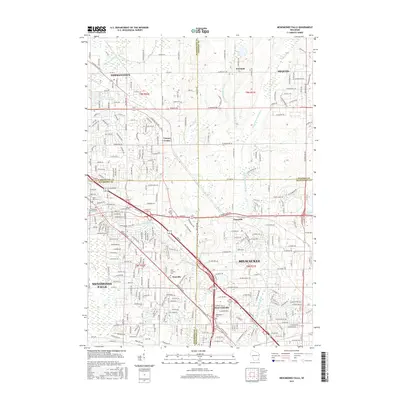
 - 2010 Map of Menomonee Falls, 2010 Print
 2010 Menomonee Falls2010 Print · USGSCovers Granville, including Milwaukee, Menomonee Falls, and other nearby areas
 - 2013 Map of Thiensville, 2013 Print
 2013 Thiensville2013 Print · USGSCovers Granville, including Milwaukee, Mequon, and other nearby areas
 - 2013 Map of Menomonee Falls, 2013 Print
 2013 Menomonee Falls2013 Print · USGSCovers Granville, including Milwaukee, Menomonee Falls, and other nearby areas
 - 2015 Map of Menomonee Falls, 2015 Print
 2015 Menomonee Falls2015 Print · USGSCovers Granville, including Milwaukee, Menomonee Falls, and other nearby areas
 - 2016 Map of Thiensville, 2016 Print
 2016 Thiensville2016 Print · USGSCovers Granville, including Milwaukee, Mequon, and other nearby areas
 - 2018 Map of Menomonee Falls, 2018 Print
 2018 Menomonee Falls2018 Print · USGSCovers Granville, including Milwaukee, Menomonee Falls, and other nearby areas
 - 2018 Map of Thiensville, 2018 Print
 2018 Thiensville2018 Print · USGSCovers Granville, including Milwaukee, Mequon, and other nearby areas
 - 2022 Map of Thiensville, 2022 Print
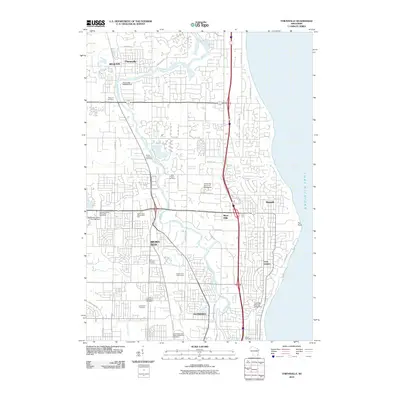
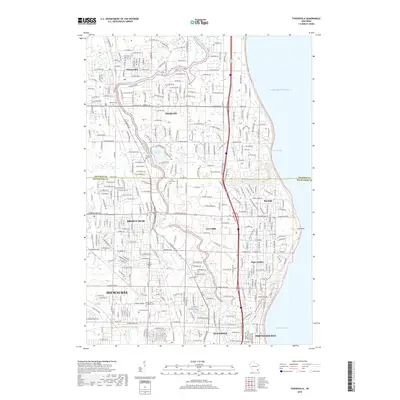
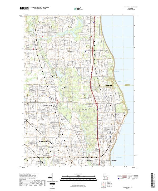 2022 Thiensville2022 Print · USGSThe northern suburbs of Milwaukee and the Lake Michigan shoreline come into focus in this recent topographic study. Researchers can trace family sites at Graceland Cem, Union Cem, and the specialized Fox Point Burial Ground.
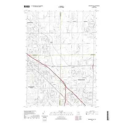
 - 2022 Map of Menomonee Falls, 2022 Print
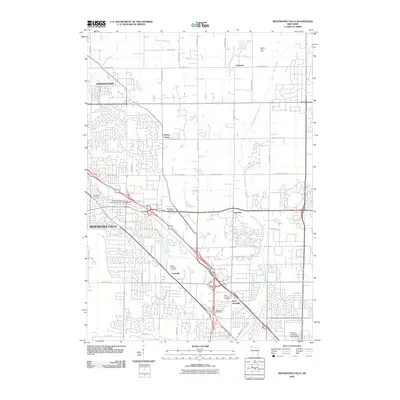
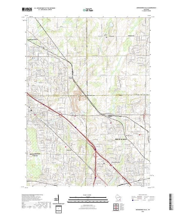 2022 Menomonee Falls2022 Print · USGSThe northern Milwaukee suburbs and the corners of four counties appear here in the early 2020s. Genealogists can locate numerous burial sites and former hamlets like Fussville, West Granville Cem, and Trinity Lutheran Cem Old.
End of results
Showing maps 1-10 of 10
Frequently asked questions
- What are the different types of historical maps available for Granville?
- What is the oldest map of Granville?
- Where can I purchase historical maps of Granville for my home or office?
- Where can I download high-res historical maps of Granville?
- Are there historical topographic maps available for Granville?
- Is there historical aerial imagery available for Granville?
- Where are historical maps of Granville sourced from?