Old Maps of Lincoln Heights Terrace, West Allis for Metal Detecting
Plan your next treasure hunt with 33 historic maps of Lincoln Heights Terrace. Find old homesites, ghost towns, trails, and gathering spots that may be lost to time — perfect for identifying promising metal detecting locations.
- Locate forgotten sites: Uncover places like long-lost settlements, abandoned rail lines, or gathering spots.
- Plan better hunts: Use map overlays combined with LiDAR or satellite views to narrow in on historically rich areas.
- Made for detectorists: Thousands of hobbyists use these maps to discover relics, coins, and hidden history.
Use these historic maps to boost your research and find new opportunities beneath the surface of Lincoln Heights Terrace.
Lincoln Heights Terrace, West Allis maps
(33)- 1891 Map of Bayview
 1891 Bayview1891 Print · USGSCovers Lincoln Heights Terrace, including Milwaukee, Racine, and other nearby areas2 unique versions available
 - 1891 Map of Muskego, 1896 Print
 1891 Muskego1896 Print · USGSCovers Lincoln Heights Terrace, including Milwaukee, Waukesha, and other nearby areas
 - 1892 Map of Milwaukee
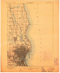
 1892 Milwaukee1892 Print · USGSCovers Lincoln Heights Terrace, including Milwaukee, West Allis, and other nearby areas2 unique versions available
 - 1892 Map of Waukesha
 1892 Waukesha1892 Print · USGSCovers Lincoln Heights Terrace, including Milwaukee, Waukesha, and other nearby areas
 - 1901 Map of Milwaukee
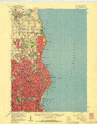
 1901 Milwaukee1901 Print · USGSCovers Lincoln Heights Terrace, including Milwaukee, West Allis, and other nearby areas
 - 1901 Map of Waukesha
 1901 Waukesha1901 Print · USGSCovers Lincoln Heights Terrace, including Milwaukee, Waukesha, and other nearby areas
 - 1901 Map of Bayview
 1901 Bayview1901 Print · USGSCovers Lincoln Heights Terrace, including Milwaukee, Racine, and other nearby areas4 unique versions available
 - 1901 Map of Muskego
 1901 Muskego1901 Print · USGSCovers Lincoln Heights Terrace, including Milwaukee, Waukesha, and other nearby areas4 unique versions available
 - 1906 Map of Waukesha
 1906 Waukesha1906 Print · USGSCovers Lincoln Heights Terrace, including Milwaukee, Waukesha, and other nearby areas4 unique versions available
 - 1906 Map of Milwaukee
 1906 Milwaukee1906 Print · USGSCovers Lincoln Heights Terrace, including Milwaukee, West Allis, and other nearby areas4 unique versions available
 - 1954 Map of Rockford
 1954 Rockford1954 Print · USGSCovers Lincoln Heights Terrace, including Milwaukee, Madison, and other nearby areas
 - 1954 Map of Milwaukee, 1967 Print
 1954 Milwaukee1967 Print · USGSCovers Lincoln Heights Terrace, including Milwaukee, West Allis, and other nearby areas3 unique versions available
 - 1955 Map of Rockford
 1955 Rockford1955 Print · USGSCovers Lincoln Heights Terrace, including Milwaukee, Madison, and other nearby areas
 - 1957 Map of Madison, 1967 Print
 1957 Madison1967 Print · USGSCovers Lincoln Heights Terrace, including Milwaukee, Madison, and other nearby areas3 unique versions available
 - 1958 Map of Milwaukee
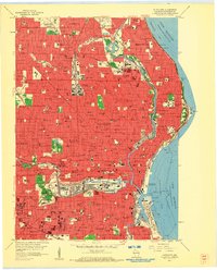
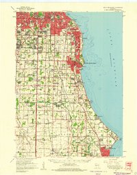
 1958 Milwaukee1958 Print · USGSCovers Lincoln Heights Terrace, including Milwaukee, West Allis, and other nearby areas
 - 1958 Map of Milwaukee, 1960 Print
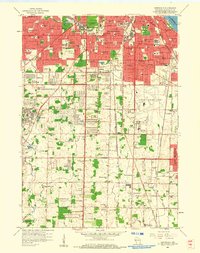
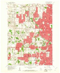
 1958 Milwaukee1960 Print · USGSCovers Lincoln Heights Terrace, including Milwaukee, West Allis, and other nearby areas3 unique versions available
 - 1958 Map of Milwaukee, 1960 Print
 1958 Milwaukee1960 Print · USGSCovers Lincoln Heights Terrace, including Milwaukee, West Allis, and other nearby areas3 unique versions available
 - 1958 Map of Greendale, 1960 Print
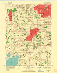
 1958 Greendale1960 Print · USGSCovers Lincoln Heights Terrace, including Milwaukee, West Allis, and other nearby areas3 unique versions available
 - 1958 Map of South Milwaukee, 1960 Print
 1958 South Milwaukee1960 Print · USGSCovers Lincoln Heights Terrace, including Milwaukee, Racine, and other nearby areas2 unique versions available
 - 1958 Map of Wauwatosa, 1961 Print
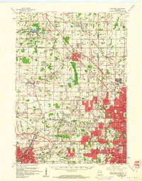
 1958 Wauwatosa1961 Print · USGSCovers Lincoln Heights Terrace, including Milwaukee, West Allis, and other nearby areas4 unique versions available
 - 1958 Map of Racine, 1971 Print
 1958 Racine1971 Print · USGSCovers Lincoln Heights Terrace, including Chicago, Milwaukee, and other nearby areas3 unique versions available
 - 1958 Map of Rockford, 1974 Print
 1958 Rockford1974 Print · USGSCovers Lincoln Heights Terrace, including Milwaukee, Madison, and other nearby areas4 unique versions available
 - 1959 Map of Hales Corners, 1960 Print
 1959 Hales Corners1960 Print · USGSCovers Lincoln Heights Terrace, including Milwaukee, West Allis, and other nearby areas4 unique versions available
 - 1959 Map of Waukesha, 1961 Print
 1959 Waukesha1961 Print · USGSCovers Lincoln Heights Terrace, including Milwaukee, Waukesha, and other nearby areas3 unique versions available
 - 1959 Map of Hales Corners, 1980 Print
 1959 Hales Corners1980 Print · USGSCovers Lincoln Heights Terrace, including Milwaukee, Waukesha, and other nearby areas
Showing maps 1-25 of 33
Frequently asked questions
- What are the different types of historical maps available for Lincoln Heights Terrace?
- What is the oldest map of Lincoln Heights Terrace?
- Where can I purchase historical maps of Lincoln Heights Terrace for my home or office?
- Where can I download high-res historical maps of Lincoln Heights Terrace?
- Are there historical topographic maps available for Lincoln Heights Terrace?
- Is there historical aerial imagery available for Lincoln Heights Terrace?
- Where are historical maps of Lincoln Heights Terrace sourced from?