1940s Maps of Lafayette, Wisconsin
Explore 6 historic maps of Lafayette from the 1940s. These maps offer a rare glimpse into what life looked like during the 1940s — showing old roads, neighborhoods, homes, and landmarks that have changed or disappeared over time.
Whether you're researching your family's past, planning a metal detecting trip, or studying how Lafayette's landscape evolved across the 1940s, these high-resolution maps are a powerful tool for exploring the history of this region.
- Focus on a specific era: All maps on this page are from the 1940s, giving you a focused view of this time period.
- See what’s changed: Compare century-old streets, trails, and buildings to today's modern landscape using overlays and satellite layers.
- Research with precision: Use these maps for genealogy, historical research, land use analysis, or educational projects.
- View, download, or print: Maps are fully viewable online in high resolution, and can be downloaded or printed for your own records.
Start exploring Lafayette's history through authentic maps from the 1940s. This is your window into the past.
Lafayette, WI maps
(6)- 1947 Map of Millston, 1963 Print
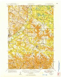
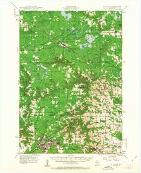 1947 Millston1963 Print · USGSMid-century Jackson and Monroe counties are captured here just after the war, showing the expansion of military and rail infrastructure. Genealogists can locate family sites near North Tomah or trace rural landmarks like Tarr Valley Sch and La Grange Cem.4 unique versions available
 - 1947 Map of Sparta, 1972 Print
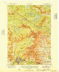
 1947 Sparta1972 Print · USGSMid-century Monroe County comes alive through a dense network of valley farms and small-town rail hubs just after the war. Researchers can trace dozens of rural school sites like East Beaver Sch and Lincoln Sch alongside the flight paths of the Sparta Landing Field.
 - 1949 Map of Millston
 1949 Millston1949 Print · USGSWisconsin's central cranberry and timber country is captured here in the late 1940s as the regional rail network anchored rural life. Researchers can trace the layout of the Camp McCoy Military Reservation or locate family sites near Millston, Tunnel City, and several rural schoolhouses like White School.
 - 1949 Map of Sparta
 1949 Sparta1949 Print · USGSMonroe and La Crosse Counties in the late 1940s are defined by the rail-carved valleys of the La Crosse River. Genealogists can trace rural life through landmarks like Hylandale Academy, SS Peter & Paul Sch, and the border of Camp McCoy Military Reservation.
 - 1949 Map of Tomah
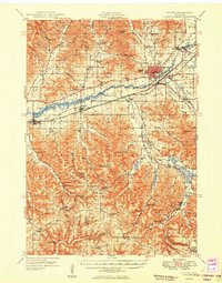
 1949 Tomah1949 Print · USGSMonroe County in the late forties shows a landscape defined by the heavy rail corridors of the Chicago and North Western and the expanding Camp Mc Coy Military Reservation. Researchers can locate dozens of rural landmarks, from Tunnel Joint Sch and St Marys Ch to the old rail stop at Scotts Junction.
 - 1949 Map of Melrose
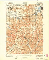
 1949 Melrose1949 Print · USGSJackson and Monroe Counties appear here in the late 1940s as a thriving patchwork of valley farms and small rural hubs. Genealogists can locate dozens of family-named landmarks and institutions, from the Little Norway Ch and Irving Cem to the Jenkins Valley Sch.
End of results
Showing maps 1-6 of 6
Top cities near Lafayette
- Sparta historical maps
- Sparta historical maps
- Tomah historical maps
- Brockway historical maps
- Angelo historical maps
- Leon historical maps
See more
Frequently asked questions
- What are the different types of historical maps available for Lafayette?
- What is the oldest map of Lafayette?
- Where can I purchase historical maps of Lafayette for my home or office?
- Where can I download high-res historical maps of Lafayette?
- Are there historical topographic maps available for Lafayette?
- Is there historical aerial imagery available for Lafayette?
- Where are historical maps of Lafayette sourced from?