2000s (21st Century) Maps of Mukwonago, Wisconsin
Explore 10 historic maps of Mukwonago from the 2000s (21st Century). These maps offer a rare glimpse into what life looked like during the 2000s — showing old roads, neighborhoods, homes, and landmarks that have changed or disappeared over time.
Whether you're researching your family's past, planning a metal detecting trip, or studying how Mukwonago's landscape evolved across the 2000s, these high-resolution maps are a powerful tool for exploring the history of this region.
- Focus on a specific era: All maps on this page are from the 2000s, giving you a focused view of this time period.
- See what’s changed: Compare century-old streets, trails, and buildings to today's modern landscape using overlays and satellite layers.
- Research with precision: Use these maps for genealogy, historical research, land use analysis, or educational projects.
- View, download, or print: Maps are fully viewable online in high resolution, and can be downloaded or printed for your own records.
Start exploring Mukwonago's history through authentic maps from the 2000s. This is your window into the past.
Mukwonago, WI maps
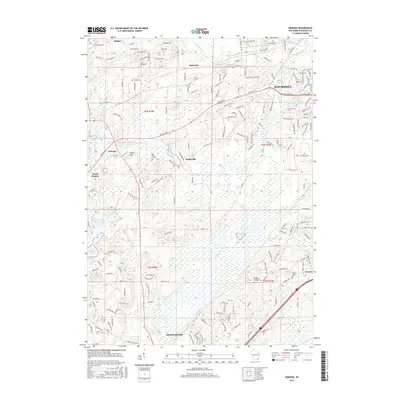
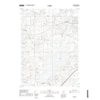
(10)- 2010 Map of Genesee, 2010 Print
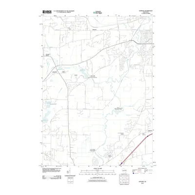 2010 Genesee2010 Print · USGSCovers Mukwonago, including Waukesha, Village of Waukesha, and other nearby areas
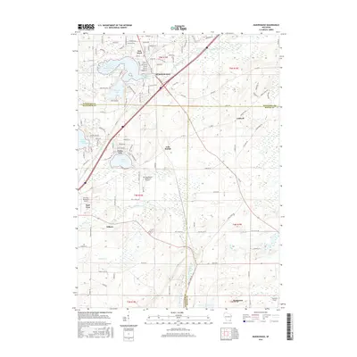
 - 2010 Map of Mukwonago, 2010 Print
 2010 Mukwonago2010 Print · USGSCovers Mukwonago, including East Troy, Spring Prairie, and other nearby areas
 - 2013 Map of Genesee, 2013 Print
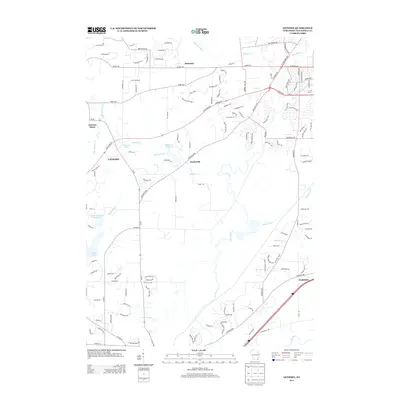 2013 Genesee2013 Print · USGSCovers Mukwonago, including Waukesha, Village of Waukesha, and other nearby areas
 - 2013 Map of Mukwonago, 2013 Print
 2013 Mukwonago2013 Print · USGSCovers Mukwonago, including East Troy, Spring Prairie, and other nearby areas
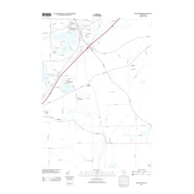
 - 2016 Map of Mukwonago, 2016 Print
 2016 Mukwonago2016 Print · USGSCovers Mukwonago, including East Troy, Spring Prairie, and other nearby areas
 - 2016 Map of Genesee, 2016 Print
 2016 Genesee2016 Print · USGSCovers Mukwonago, including Waukesha, Village of Waukesha, and other nearby areas
 - 2018 Map of Genesee, 2018 Print
 2018 Genesee2018 Print · USGSCovers Mukwonago, including Waukesha, Village of Waukesha, and other nearby areas
 - 2018 Map of Mukwonago, 2018 Print
 2018 Mukwonago2018 Print · USGSCovers Mukwonago, including East Troy, Spring Prairie, and other nearby areas
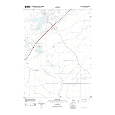
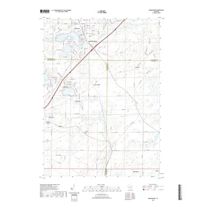
 - 2022 Map of Mukwonago, 2022 Print
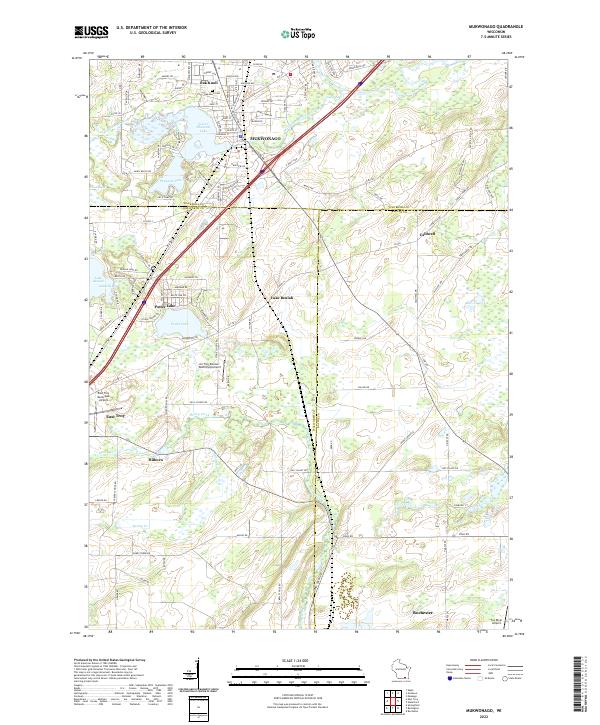 2022 Mukwonago2022 Print · USGSThe Mukwonago and Fox River valleys are captured here at a time of significant lakeside development. Modern researchers can trace property lines near Oak Knoll Cem or locate the distinct airfields serving East Troy and Potter Lake.
 - 2022 Map of Genesee, 2022 Print
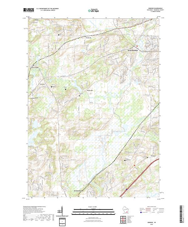 2022 Genesee2022 Print · USGSWaukesha County at the start of the 2020s remains a landscape of historic crossroads and glacial features. Researchers can trace family roots at Saint Pauls Cem or locate the old station at Genesee Depot near the Glacial Drumlin State Trl.
End of results
Showing maps 1-10 of 10
Top cities near Mukwonago
- Waukesha historical maps
- Brookfield historical maps
- New Berlin historical maps
- Muskego historical maps
- Oconomowoc historical maps
- City of Pewaukee historical maps
See more
Top neighborhoods of Mukwonago
Frequently asked questions
- What are the different types of historical maps available for Mukwonago?
- What is the oldest map of Mukwonago?
- Where can I purchase historical maps of Mukwonago for my home or office?
- Where can I download high-res historical maps of Mukwonago?
- Are there historical topographic maps available for Mukwonago?
- Is there historical aerial imagery available for Mukwonago?
- Where are historical maps of Mukwonago sourced from?