2000s (21st Century) Maps of Doty, Wisconsin
Explore 30 historic maps of Doty from the 2000s (21st Century). These maps offer a rare glimpse into what life looked like during the 2000s — showing old roads, neighborhoods, homes, and landmarks that have changed or disappeared over time.
Whether you're researching your family's past, planning a metal detecting trip, or studying how Doty's landscape evolved across the 2000s, these high-resolution maps are a powerful tool for exploring the history of this region.
- Focus on a specific era: All maps on this page are from the 2000s, giving you a focused view of this time period.
- See what’s changed: Compare century-old streets, trails, and buildings to today's modern landscape using overlays and satellite layers.
- Research with precision: Use these maps for genealogy, historical research, land use analysis, or educational projects.
- View, download, or print: Maps are fully viewable online in high resolution, and can be downloaded or printed for your own records.
Start exploring Doty's history through authentic maps from the 2000s. This is your window into the past.
Doty, WI maps
(30)- 2011 Map of Markton, 2011 Print
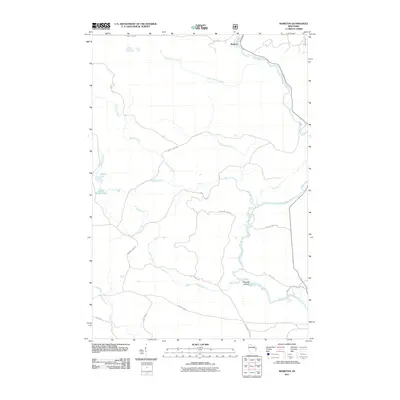 2011 Markton2011 Print · USGSOconto County's river-driven geography is on display in the early twenty-first century, centered on the Wolf River and its many tributaries. Trace the history of the timber and water landscape through features like Big Smoky Falls, Markton, and Saturday Islands.
 - 2011 Map of Reservoir Pond, 2011 Print
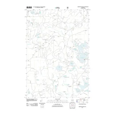 2011 Reservoir Pond2011 Print · USGSWisconsin's northern forests and glacial lakes appear in high detail during the early 2010s. Trace local landmarks like the Ada Lake Lookout Tower, the Reservoir 2 WP 463 Dam, and the Jones Spring Impoundment.
 - 2011 Map of Townsend, 2011 Print
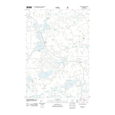 2011 Townsend2011 Print · USGSTownsend and Lakewood are documented during this period of recreational growth in Oconto County. Local historians and genealogists can trace property access near the Archibald Lookout Tower or explore landmarks like the Lakewood State Fish Hatchery and Paul Bunyon Ski Area.
 - 2011 Map of Langlade, 2011 Print
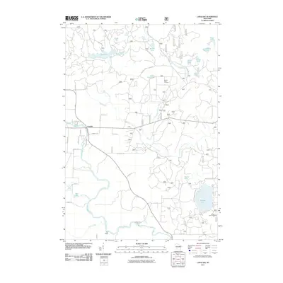 2011 Langlade2011 Print · USGSThe Wolf River and South Branch Oconto River watersheds converge in this Wisconsin wilderness during the early twenty-first century. Researchers can map out local landmarks and recreation sites like Gardner Dam Camp, Boulder Lake, and the Oconto Seed Orchards.
 - 2011 Map of Fredenberg Lake, 2011 Print
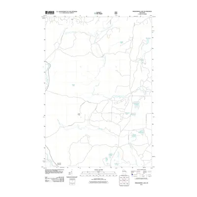 2011 Fredenberg Lake2011 Print · USGSOconto County forests and glacial lakes are mapped here in the early twenty-first century, showcasing a landscape of remote waterways and timber tracks. Researchers can trace the winding South Branch Oconto River or locate landmarks like the La Belle Lookout Tower and Menominee Reservation Campground.
 - 2011 Map of Shadow Lake, 2011 Print
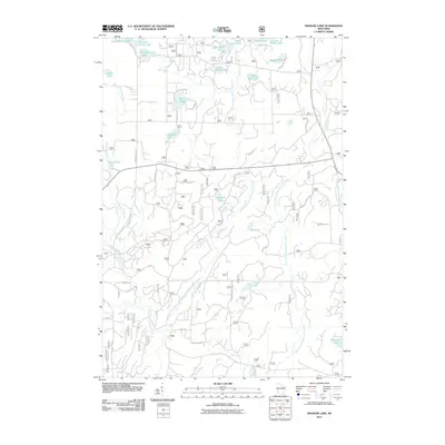 2011 Shadow Lake2011 Print · USGSOconto County's labyrinth of glacial lakes and river forks is documented here in the early twenty-first century. Researchers can trace the winding paths of the Second South Branch Oconto River and locate small waters like Deadman Lake and Camp Four Lake.
 - 2013 Map of Langlade, 2013 Print
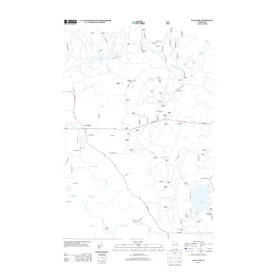 2013 Langlade2013 Print · USGSLanglade and the surrounding Northwoods are captured here in the early twenty-first century, centered on the powerful Wolf River. Trace the river's path through Crooked Rapids and Garfield Rapids, or explore local landmarks like Gardner Dam Camp and Boulder Lake.
 - 2013 Map of Fredenberg Lake, 2013 Print
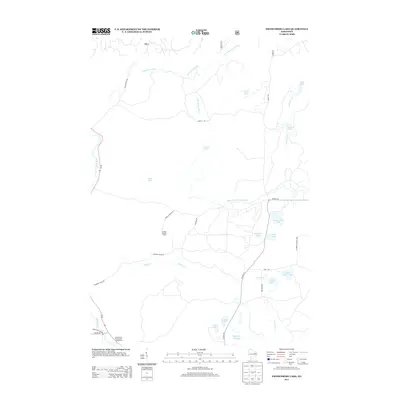 2013 Fredenberg Lake2013 Print · USGSOconto County's wooded lake country is captured here in the early twenty-first century. Researchers can trace forest access routes like POTATO PATCH RD to find La Belle Lookout Tower, Fredenberg Lake, and the Wolf River.
 - 2013 Map of Shadow Lake, 2013 Print
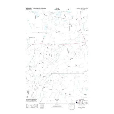 2013 Shadow Lake2013 Print · USGSOconto County's lake country is detailed in this 2013 survey of the forest-and-water landscape north of Mountain. Genealogists and historians can trace the timber and transit heritage of the region via Old Log Siding Ln and the secluded Hells Acre Springs.
 - 2013 Map of Markton, 2013 Print
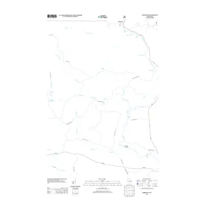 2013 Markton2013 Print · USGSThe northern woods of Wisconsin are captured here in the early twenty-first century, centered on the hydraulic power of the Wolf River. Researchers can trace the river's many named drops and rapids, from Gilmores Mistake Rapids to the dramatic Big Smoky Falls.
 - 2013 Map of Reservoir Pond, 2013 Print
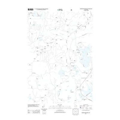 2013 Reservoir Pond2013 Print · USGSWisconsin's Northwoods are captured here in a period of established forest management and recreation near Townsend. Outdoorsmen and local historians can locate specific sites like the Ada Lake Lookout Tower, Boot Lake Campground, and the Adirondack Shelter.
 - 2013 Map of Townsend, 2013 Print
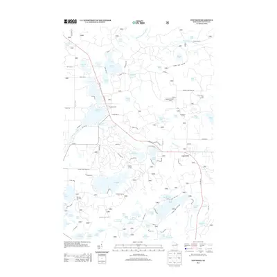 2013 Townsend2013 Print · USGSTownsend and Lakewood are documented here during the early twenty-first century, showing a landscape defined by forestry and lakefront recreation. Researchers can locate specific sites like the Archibald Lookout Tower, the Paul Bunyon Ski Area, and the Lakewood State Fish Hatchery.
 - 2015 Map of Shadow Lake, 2015 Print
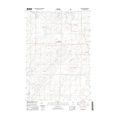 2015 Shadow Lake2015 Print · USGSThe woodlands around Mountain and the Nicolet National Forest are shown here during the early twenty-first century. Genealogists and local historians can trace the geography of family-named landmarks and old routes like Old Log Siding Ln and Hells Acre Springs.
 - 2015 Map of Markton, 2015 Print
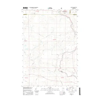 2015 Markton2015 Print · USGSThe Wolf River and Nicolet National Forest dominate this northwoods landscape during the mid-2010s. Researchers can trace the river’s descent through Gilmores Mistake Rapids, Big Smoky Falls, and the islands around Saturday Islands.
 - 2015 Map of Fredenberg Lake, 2015 Print
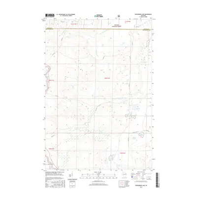 2015 Fredenberg Lake2015 Print · USGSOconto and Menominee counties are shown in the mid-2010s, covering a heavily forested region within the Nicolet National Forest. You can trace the complex waterways from Chipmunk Rapids to the shores of Fredenberg Lake and Saint Joseph Lake.
 - 2015 Map of Langlade, 2015 Print
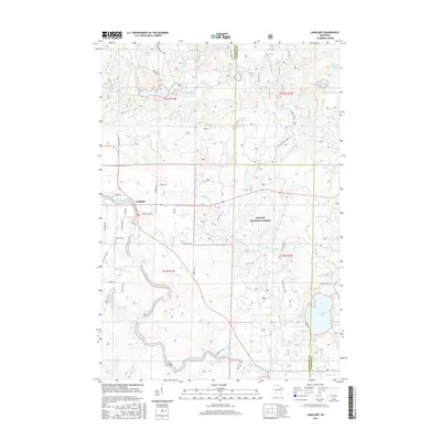 2015 Langlade2015 Print · USGSLanglade and the northern Nicolet National Forest are shown in the mid-2010s as a landscape of interconnected river systems and glacial lakes. Outdoor historians and genealogists can trace the rapids of the Wolf River and locate family landmarks near Boulder Lake and Rose Lake.
 - 2015 Map of Townsend, 2015 Print
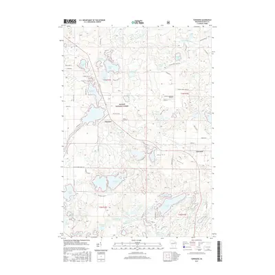 2015 Townsend2015 Print · USGSTownsend and Lakewood are documented here during the mid-2010s, nestled within the expansive Nicolet National Forest. Genealogists and local historians can locate family sites near Forest Home Cem or trace the water systems of Townsend Flowage and Archibald Lake.
 - 2015 Map of Reservoir Pond, 2015 Print
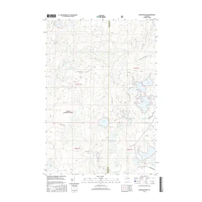 2015 Reservoir Pond2015 Print · USGSThe Nicolet National Forest lakeland is shown in detail during the mid-2010s, highlighting the intricate shoreline of the Oconto River headwaters. Researchers can trace forest access routes and waterfront developments near Reservoir Pond, Ada Lake, and the Jones Spring Impoundment.
 - 2018 Map of Langlade, 2018 Print
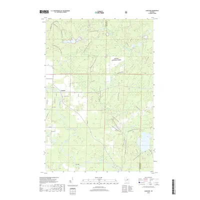 2018 Langlade2018 Print · USGSUpper Wisconsin river country comes alive in this survey of the late twenty-teens, where the forest meets the water. Trace the descent of the Wolf River through Crucible Rapids and Garfield Rapids, or explore the many glacial waters of the Nicolet National Forest.
 - 2018 Map of Reservoir Pond, 2018 Print
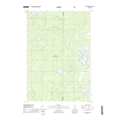 2018 Reservoir Pond2018 Print · USGSNicolet National Forest across the Oconto and Langlade county lines is shown here in the late 2010s. Researchers can trace the complex water systems of the S Br Oconto River and locate secluded landmarks like Jones Spring Impoundment and McCaslin Spring.
 - 2018 Map of Shadow Lake, 2018 Print
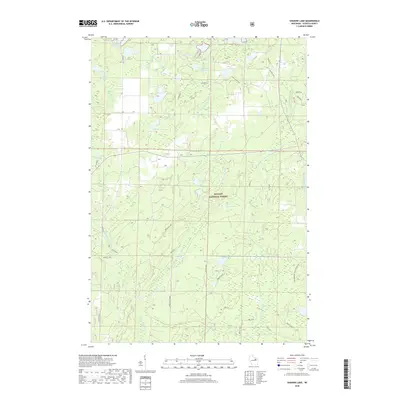 2018 Shadow Lake2018 Print · USGSWisconsin’s Northwoods are captured here in Oconto County just as the modern century's first decades drew to a close. Discover the intricate water systems of the Nicolet National Forest and trace recreation routes like the McComb Ski Trail (Snow) or the secluded Mountain Lakes.
 - 2018 Map of Townsend, 2018 Print
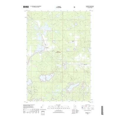 2018 Townsend2018 Print · USGSTownsend and Lakewood are documented here in the late 2010s, nestled within a lake-rich stretch of the Nicolet National Forest. Researchers can locate Forest Home Cem and trace the winding paths of McCaslin Brook and the Townsend Flowage.
 - 2019 Map of Markton, 2019 Print
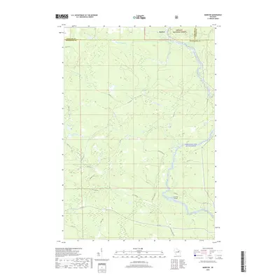 2019 Markton2019 Print · USGSThe Wolf River corridor at the edge of the Nicolet National Forest shows a landscape defined by water and woods in the late 2010s. Researchers can map the falls and rapids of the Wolf Wild and Scenic River, including Ducknest Falls and Saturday Islands.
 - 2019 Map of Fredenberg Lake, 2019 Print
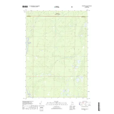 2019 Fredenberg Lake2019 Print · USGSOconto and Menominee Counties are shown here during a period of modern conservation and forest management. Researchers can trace the waterways of the S Br Oconto River and locate secluded landmarks like Beauprey Springs and Fredenberg Lake.
 - 2022 Map of Markton, 2022 Print
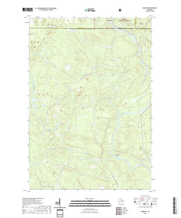 2022 Markton2022 Print · USGSMenominee County is centered on the wild waters of the Wolf River in the early 2020s. Genealogists and river historians can trace the paths of BIA Rte 122 and locate historic river landmarks like Saturday Islands and Evergreen Falls.
Showing maps 1-25 of 30
Top cities near Doty
- Wabeno historical maps
- Nashville historical maps
- Townsend historical maps
- Lakewood historical maps
- Neopit historical maps
- Mountain historical maps
See more
Frequently asked questions
- What are the different types of historical maps available for Doty?
- What is the oldest map of Doty?
- Where can I purchase historical maps of Doty for my home or office?
- Where can I download high-res historical maps of Doty?
- Are there historical topographic maps available for Doty?
- Is there historical aerial imagery available for Doty?
- Where are historical maps of Doty sourced from?