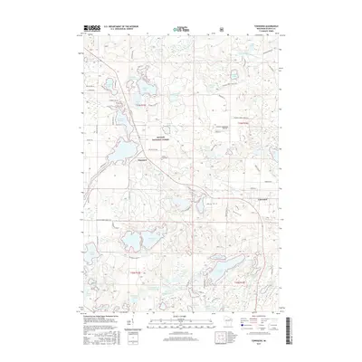
2015 Map of Townsend
USGS Topo · Published 2015About this map
The Nicolet National Forest dominates this northern Wisconsin landscape, where the settlements of Townsend and Lakewood serve as central hubs for a region defined by its dense network of glacial lakes and waterways. The Townsend Flowage and the North Branch Oconto River provide a primary hydrological framework, while smaller bodies like Smoke Lake and Little Pickerel Lake are accessible via a labyrinth of forest roads and named lanes such as Sunset Bay Ln and Chipmunk Ln. Local history is anchored by landmarks like Forest Home Cem and the Lakewood Airpark, indicating the dual nature of the area as both a working forest and a recreational retreat. The presence of Archibald Tower Springs and McCaslin Brook further highlights the natural spring-fed systems that characterize this portion of Oconto County during the early 21st century.
Find a feature on this map
100 named features on this map. Tap any name to fly to it.
Don’t see what you’re looking for? This feature index may not catch every label — zoom into the map to look around manually.
Map Details
Editions of this 2015 Townsend Map
This is the sole edition of this map. No revisions or reprints were ever made.
Other maps of this area

1940 · Thunder Mtn.
USGS Topo · 1:48,000

1942 · Breed
USGS Topo · 1:48,000

1942 · Wabeno
USGS Topo · 1:48,000

1950 · Wabeno
USGS Topo · 1:48,000

1951 · Wabeno
USGS Topo · 1:48,000

1951 · Thunder Mountain
USGS Topo · 1:48,000

1952 · Langlade
USGS Topo · 1:48,000

1952 · Mountain
USGS Topo · 1:48,000

1954 · Iron Mountain
USGS Topo · 1:250,000

1959 · Iron Mountain
USGS Topo · 1:250,000