Old Maps of Lakewood, Wisconsin for Metal Detecting
Plan your next treasure hunt with 44 historic maps of Lakewood. Find old homesites, ghost towns, trails, and gathering spots that may be lost to time — perfect for identifying promising metal detecting locations.
- Locate forgotten sites: Uncover places like long-lost settlements, abandoned rail lines, or gathering spots.
- Plan better hunts: Use map overlays combined with LiDAR or satellite views to narrow in on historically rich areas.
- Made for detectorists: Thousands of hobbyists use these maps to discover relics, coins, and hidden history.
Use these historic maps to boost your research and find new opportunities beneath the surface of Lakewood.
Lakewood, WI maps
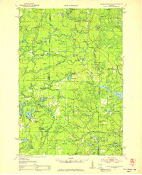
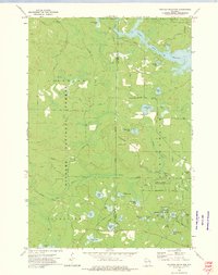
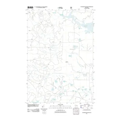
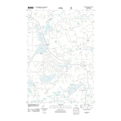
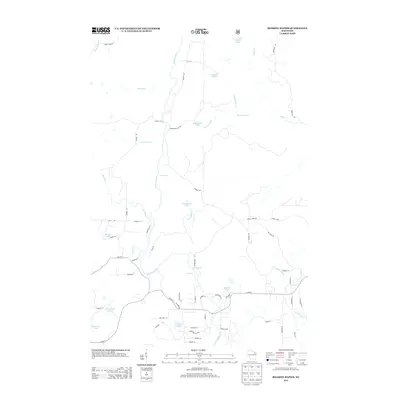
(44)- 1940 Map of Thunder Mtn.
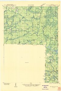 1940 Thunder Mtn.1940 Print · USGSMarinette County and the surrounding woods are captured here in the early 1940s as a hub of timber production and forestry management. Genealogists and historians can trace rural schools like Silver Cliff Sch, the site of the State Fish Hatchery, and fire lookouts atop Thunder Mountain.2 unique versions available
 - 1942 Map of Wabeno
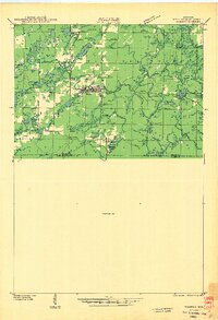 1942 Wabeno1942 Print · USGSForest County's timberlands are captured here in the early 1940s, when rail and river still drove the local economy. Researchers can locate vanished rural schools like Rummel Sch, several local cemeteries, and the site of an Abandoned CCC Camp near Otter Lake.
 - 1950 Map of Wabeno
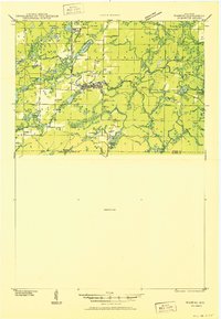 1950 Wabeno1950 Print · USGSThe Northwoods of Forest County are captured here at mid-century, where logging roots and lake country recreation meet. Genealogists and historians can locate rural schoolhouses like Rummel Sch, explore the Abandoned CCC Camp, or trace the old Logging RR routes.
 - 1951 Map of Wabeno, 1953 Print
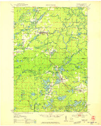 1951 Wabeno1953 Print · USGSThe Northwoods of Forest and Oconto counties are shown in the early fifties as the timber and railway era transitioned into modern recreation. Researchers can locate the logging towns of Soperton and Wabeno, or trace rural life through the Windfall Sch and Forest Hill Cem.3 unique versions available
 - 1951 Map of Thunder Mountain, 1953 Print
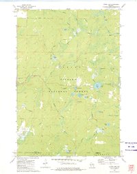
 1951 Thunder Mountain1953 Print · USGSMarinette and Oconto counties are shown here in the early 1950s, showcasing a landscape of dense timber and river-driven history. Genealogists and historians can locate the Shady Nook Sch, the Fish Hatchery, and fire-watch posts like the Thunder Mountain Lookout Tower.3 unique versions available
 - 1954 Map of Iron Mountain, 1964 Print
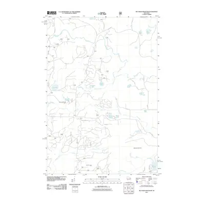
 1954 Iron Mountain1964 Print · USGSUpper Michigan and Northeastern Wisconsin are shown in detail during the mid-fifties, when the logging and mining economies still moved by rail. Trace the rail lines of the Soo Line to remote stops like Koepenick Station or explore the Iron Range near Iron Mountain.2 unique versions available
 - 1959 Map of Iron Mountain
 1959 Iron Mountain1959 Print · USGSThe northwoods of Wisconsin and the Michigan border are captured here in the mid-fifties, showing a landscape defined by timber, water, and rail. Researchers can trace historic junctions like Hiles Junction, the expansive Nicolet National Forest, and lakefront settlements from Rhinelander to Tomahawk.2 unique versions available
 - 1972 Map of Wheeler Lake, 1975 Print
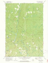
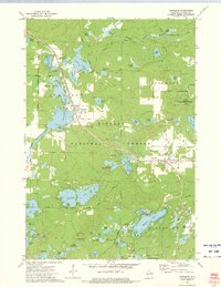
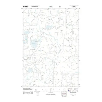
 1972 Wheeler Lake1975 Print · USGSOconto County's lake-rich landscape is captured in the early 1970s, showcasing the intricate water systems within the Nicolet National Forest. You can trace an old railroad grade, locate the Lakewood State Fish Hatchery, or find family-named landmarks like Bucks Ranch.
 - 1972 Map of Mc Caslin Mountain, 1975 Print
 1972 Mc Caslin Mountain1975 Print · USGSThe borderlands of Forest and Marinette County in the early seventies reveal a landscape of managed timber and remote glacial lakes. You can trace the Rat River rapids, locate the McCaslin Lookout Tower, and find small landmarks like the Cem or the Deer Lake Flowage.2 unique versions available
 - 1972 Map of Roaring Rapids, 1975 Print
 1972 Roaring Rapids1975 Print · USGSMarinette County was a hub of river activity and forestry in the early seventies, centered on the wild stretches of the Peshtigo River. Researchers can locate St Mary of the Cliff Ch and trace the many rapids and chutes like Jerry Chute and Roaring Rapids.2 unique versions available
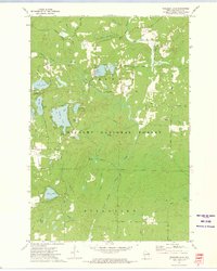
 - 1972 Map of Thunder Mountain, 1975 Print
 1972 Thunder Mountain1975 Print · USGSThe Marinette and Oconto county line runs through this forested landscape during the 1970s, dominated by the waters of the Peshtigo River. Researchers can trace old forest routes and local landmarks like the Thunder River State Rearing Station and Camp Bird State Youth Recreational Center.2 unique versions available
 - 1972 Map of Otter Lake, 1975 Print
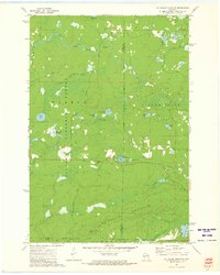
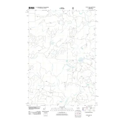
 1972 Otter Lake1975 Print · USGSThe deep Northwoods of Forest County are captured in the early seventies, dominated by the sprawling Nicolet National Forest. Researchers can trace old timber access routes like Kufner Road and locate remote water features such as Johnson Spring and Otter Lake.
 - 1972 Map of Townsend, 1975 Print
 1972 Townsend1975 Print · USGSOconto County's timber and lake country is captured in the early seventies, when the Chicago and North Western railroad still served the northern woods. Trace family history at Forest Home Cem or locate the Archibald Lookout Tower near Townsend and Lakewood.2 unique versions available
 - 1990 Map of Wabeno, 1991 Print
 1990 Wabeno1991 Print · USGSThe Wisconsin Northwoods in the early nineties is a landscape of deep timber, tribal lands, and glacial lakes. Researchers can trace the Chicago and North Western rail line through lumber towns like Wabeno and Townsend or locate the Lakewood State Fish Hatchery.
 - 2011 Map of Roaring Rapids, 2011 Print
 2011 Roaring Rapids2011 Print · USGSCovers Lakewood, including Athelstane, Silver Cliff, and other nearby areas
 - 2011 Map of Thunder Mountain, 2011 Print
 2011 Thunder Mountain2011 Print · USGSCovers Lakewood, including Silver Cliff, Stephenson, and other nearby areas
 - 2011 Map of Otter Lake, 2011 Print
 2011 Otter Lake2011 Print · USGSCovers Lakewood, including Wabeno, Townsend, and other nearby areas
 - 2011 Map of McCaslin Mountain, 2011 Print
 2011 McCaslin Mountain2011 Print · USGSCovers Lakewood, including Wabeno, Silver Cliff, and other nearby areas
 - 2011 Map of Wheeler Lake, 2011 Print
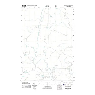
 2011 Wheeler Lake2011 Print · USGSCovers Lakewood, including Riverview, Oconto County, and other nearby areas
 - 2011 Map of Townsend, 2011 Print
 2011 Townsend2011 Print · USGSCovers Lakewood, including Townsend, Doty, and other nearby areas
 - 2013 Map of Thunder Mountain, 2013 Print
 2013 Thunder Mountain2013 Print · USGSCovers Lakewood, including Silver Cliff, Stephenson, and other nearby areas
 - 2013 Map of Otter Lake, 2013 Print
 2013 Otter Lake2013 Print · USGSCovers Lakewood, including Wabeno, Townsend, and other nearby areas
 - 2013 Map of Wheeler Lake, 2013 Print
 2013 Wheeler Lake2013 Print · USGSCovers Lakewood, including Riverview, Oconto County, and other nearby areas
 - 2013 Map of McCaslin Mountain, 2013 Print
 2013 McCaslin Mountain2013 Print · USGSCovers Lakewood, including Wabeno, Silver Cliff, and other nearby areas
 - 2013 Map of Roaring Rapids, 2013 Print
 2013 Roaring Rapids2013 Print · USGSCovers Lakewood, including Athelstane, Silver Cliff, and other nearby areas
Showing maps 1-25 of 44
Top cities near Lakewood
- Laona historical maps
- Dunbar historical maps
- Wabeno historical maps
- Townsend historical maps
- Mountain historical maps
- Goodman historical maps
See more
Frequently asked questions
- What are the different types of historical maps available for Lakewood?
- What is the oldest map of Lakewood?
- Where can I purchase historical maps of Lakewood for my home or office?
- Where can I download high-res historical maps of Lakewood?
- Are there historical topographic maps available for Lakewood?
- Is there historical aerial imagery available for Lakewood?
- Where are historical maps of Lakewood sourced from?