Old Maps of Spruce, Wisconsin for Academic Research
Study the evolution of Spruce with 33 high-resolution historic maps. Whether you're teaching, researching, or modeling changes in land use, these maps provide essential visual documentation of urban, environmental, and geographic change.
- Analyze long-term change: Track patterns in development, transportation, and natural features.
- Ideal for environmental or urban studies: Support academic projects with primary historical map data.
- Use in the classroom or lab: Educators and researchers rely on these maps to bring historical context to life.
These maps are a powerful tool for teaching, research, and visualizing how Spruce has changed over the decades.
Spruce, WI maps
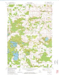
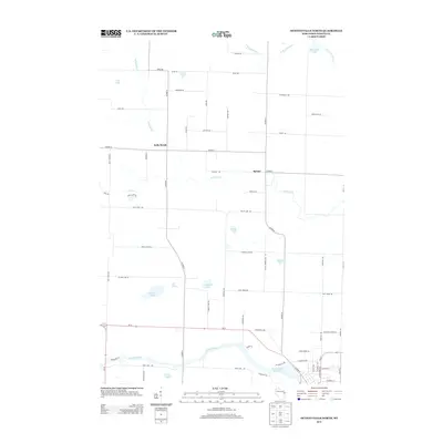
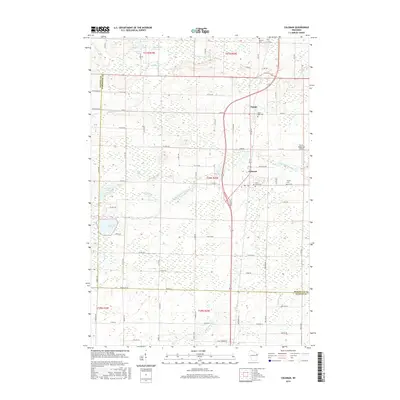
(33)- 1941 Map of Coleman, 1965 Print
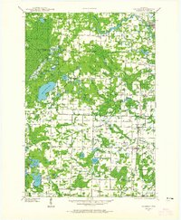 1941 Coleman1965 Print · USGSMarinette and Oconto counties during the early 1940s show a landscape of timber, water power, and tight-knit rural communities. Genealogists can locate family-named landmarks like Gaffney L and numerous local schools such as Woodrow Wilson Sch and Goldfield Sch.2 unique versions available
 - 1942 Map of Coleman
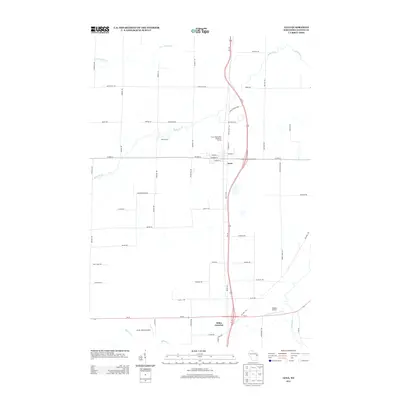
 1942 Coleman1942 Print · USGSThe rural Marinette and Oconto county lines are captured here in the early 1940s, a landscape defined by timber, small-scale farming, and the Peshtigo River. Researchers can trace old school districts like Woodrow Wilson Sch and historic local landmarks such as St Wenceslaus Ch and Sandstone Dam.
 - 1950 Map of Coleman
 1950 Coleman1950 Print · USGSNortheastern Wisconsin comes alive in the mid-century as family farms and lakeside communities thrived between Marinette and Oconto counties. Genealogists and local historians can trace legacy sites like the Second Polish Ch, Victory Sch, and the vanished tracks of the St Paul and Pacific RR.
 - 1954 Map of Iron Mountain, 1964 Print
 1954 Iron Mountain1964 Print · USGSUpper Michigan and Northeastern Wisconsin are shown in detail during the mid-fifties, when the logging and mining economies still moved by rail. Trace the rail lines of the Soo Line to remote stops like Koepenick Station or explore the Iron Range near Iron Mountain.2 unique versions available
 - 1955 Map of Green Bay, 1968 Print
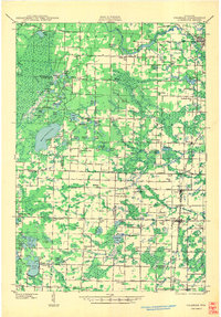
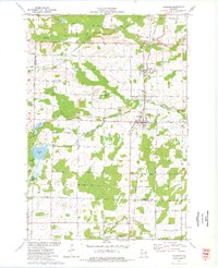
 1955 Green Bay1968 Print · USGSCentral and Eastern Wisconsin are captured here in the mid-fifties, showing the industrial growth of the Fox Valley and Wisconsin River corridors. Genealogists and historians can trace rail lines like the Green Bay and Western through settlements like Weyauwega, Clintonville, and Pulaski.2 unique versions available
 - 1956 Map of Oconto Falls, 1958 Print
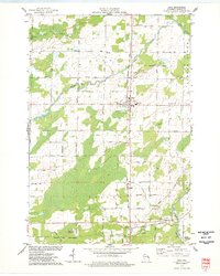
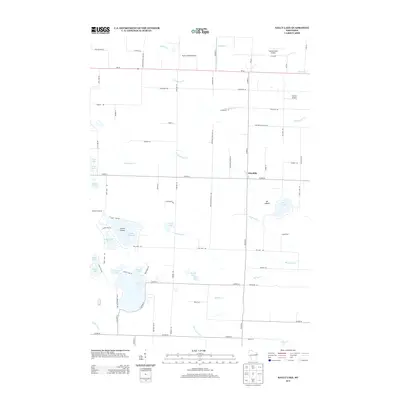
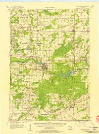 1956 Oconto Falls1958 Print · USGSOconto County in the mid-fifties is captured here as a landscape of rural school districts and river-based industry. Genealogists can locate family-named landmarks like Dombrowski Lake and Kuplie Lake, or trace rail history at Stiles Junction.3 unique versions available
 - 1959 Map of Iron Mountain
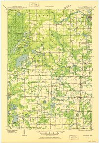
 1959 Iron Mountain1959 Print · USGSThe northwoods of Wisconsin and the Michigan border are captured here in the mid-fifties, showing a landscape defined by timber, water, and rail. Researchers can trace historic junctions like Hiles Junction, the expansive Nicolet National Forest, and lakefront settlements from Rhinelander to Tomahawk.2 unique versions available
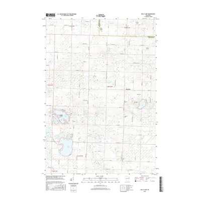
 - 1973 Map of Kelly Lake, 1977 Print
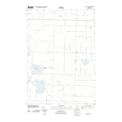
 1973 Kelly Lake1977 Print · USGSThe glacial lake country of Oconto County is captured here in the early seventies, showing a landscape defined by water and woods. Genealogists can locate family landmarks like Section Eight Church, St Wenceslaus Cem, and the old Klondike settlement.
 - 1973 Map of Coleman, 1977 Print
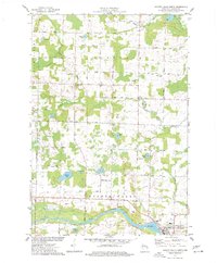
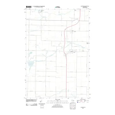
 1973 Coleman1977 Print · USGSThe villages of Pound and Coleman are shown during the 1970s as vital hubs along the Chicago Milwaukee St Paul and Pacific railroad. Genealogists and local historians can trace family sites at St Leos Cem, Town Cem, and the rural Section Eight Sch.
 - 1974 Map of Lena, 1977 Print
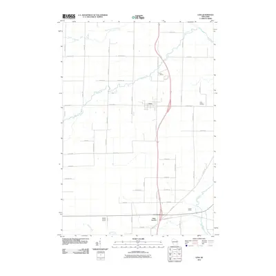
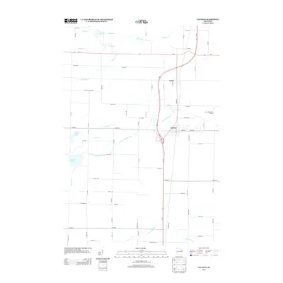
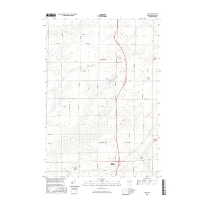
 1974 Lena1977 Print · USGSOconto County rural life is preserved here during the mid-seventies, centered on the rail-fed village of Lena and the crossroads at Stiles Junction. Genealogists and local historians can trace family-named roads and landmarks like St Charles Cem, the Larson Studio Landing Strip, and the High Sch.
 - 1974 Map of Oconto Falls North, 1977 Print
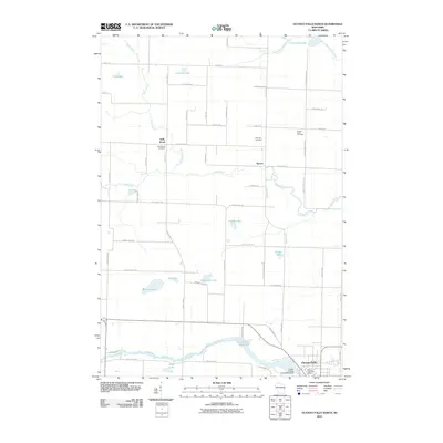
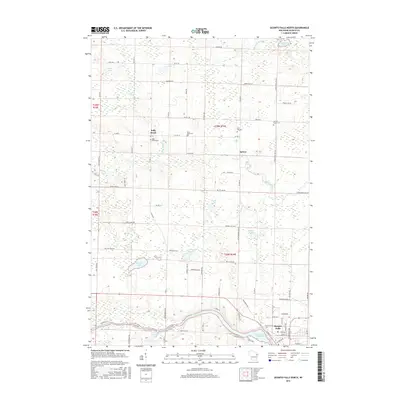
 1974 Oconto Falls North1977 Print · USGSOconto County in the mid-1970s reveals a landscape of quiet dairy farms and emerging river towns before modern expansion. Genealogists can trace family footprints at Kelly Brook Cem, St Mark Ch, and along the tracks of the Chicago and North Western rail line.
 - 1984 Map of Shawano, 1985 Print
 1984 Shawano1985 Print · USGSNortheast Wisconsin in the mid-1980s was a landscape defined by its indigenous heritage and the bustling trade centers of the Fox and Wolf River valleys. Genealogists and historians can trace rail corridors like the Chicago and North Western or locate family sites near Keshena, Cecil, and the Fort Howard Cem.2 unique versions available
 - 1990 Map of Wabeno, 1991 Print
 1990 Wabeno1991 Print · USGSThe Wisconsin Northwoods in the early nineties is a landscape of deep timber, tribal lands, and glacial lakes. Researchers can trace the Chicago and North Western rail line through lumber towns like Wabeno and Townsend or locate the Lakewood State Fish Hatchery.
 - 2010 Map of Kelly Lake, 2010 Print
 2010 Kelly Lake2010 Print · USGSCovers Spruce, including Beaver, Maple Valley, and other nearby areas
 - 2010 Map of Coleman, 2010 Print
 2010 Coleman2010 Print · USGSCovers Spruce, including Beaver, Coleman, and other nearby areas
 - 2010 Map of Lena, 2010 Print
 2010 Lena2010 Print · USGSCovers Spruce, including Stiles, Lena, and other nearby areas
 - 2010 Map of Oconto Falls North, 2010 Print
 2010 Oconto Falls North2010 Print · USGSCovers Spruce, including Oconto Falls, Stiles, and other nearby areas
 - 2013 Map of Oconto Falls North, 2013 Print
 2013 Oconto Falls North2013 Print · USGSCovers Spruce, including Oconto Falls, Stiles, and other nearby areas
 - 2013 Map of Lena, 2013 Print
 2013 Lena2013 Print · USGSCovers Spruce, including Stiles, Lena, and other nearby areas
 - 2013 Map of Kelly Lake, 2013 Print
 2013 Kelly Lake2013 Print · USGSCovers Spruce, including Beaver, Maple Valley, and other nearby areas
 - 2013 Map of Coleman, 2013 Print
 2013 Coleman2013 Print · USGSCovers Spruce, including Beaver, Coleman, and other nearby areas
 - 2015 Map of Coleman, 2015 Print
 2015 Coleman2015 Print · USGSCovers Spruce, including Beaver, Coleman, and other nearby areas
 - 2015 Map of Kelly Lake, 2015 Print
 2015 Kelly Lake2015 Print · USGSCovers Spruce, including Beaver, Maple Valley, and other nearby areas
 - 2016 Map of Lena, 2016 Print
 2016 Lena2016 Print · USGSCovers Spruce, including Stiles, Lena, and other nearby areas
 - 2016 Map of Oconto Falls North, 2016 Print
 2016 Oconto Falls North2016 Print · USGSCovers Spruce, including Oconto Falls, Stiles, and other nearby areas
Showing maps 1-25 of 33
Top cities near Spruce
- Chase historical maps
- Oconto Falls historical maps
- Abrams historical maps
- Angelica historical maps
- Stiles historical maps
- Pensaukee historical maps
See more
Top neighborhoods of Spruce
Frequently asked questions
- What are the different types of historical maps available for Spruce?
- What is the oldest map of Spruce?
- Where can I purchase historical maps of Spruce for my home or office?
- Where can I download high-res historical maps of Spruce?
- Are there historical topographic maps available for Spruce?
- Is there historical aerial imagery available for Spruce?
- Where are historical maps of Spruce sourced from?