2000s (21st Century) Maps of Underhill, Wisconsin
Explore 20 historic maps of Underhill from the 2000s (21st Century). These maps offer a rare glimpse into what life looked like during the 2000s — showing old roads, neighborhoods, homes, and landmarks that have changed or disappeared over time.
Whether you're researching your family's past, planning a metal detecting trip, or studying how Underhill's landscape evolved across the 2000s, these high-resolution maps are a powerful tool for exploring the history of this region.
- Focus on a specific era: All maps on this page are from the 2000s, giving you a focused view of this time period.
- See what’s changed: Compare century-old streets, trails, and buildings to today's modern landscape using overlays and satellite layers.
- Research with precision: Use these maps for genealogy, historical research, land use analysis, or educational projects.
- View, download, or print: Maps are fully viewable online in high resolution, and can be downloaded or printed for your own records.
Start exploring Underhill's history through authentic maps from the 2000s. This is your window into the past.
Underhill, WI maps
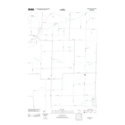
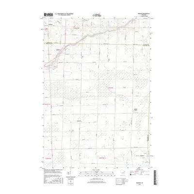
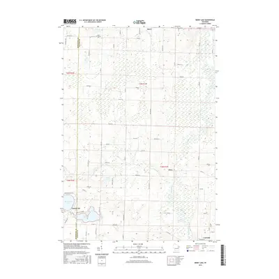
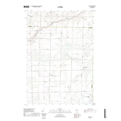
(20)- 2010 Map of Berry Lake, 2010 Print
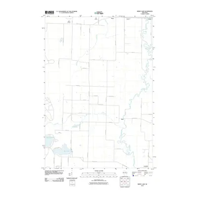 2010 Berry Lake2010 Print · USGSCovers Underhill, including Suring, Hintz, and other nearby areas
 - 2010 Map of Krakow, 2010 Print
 2010 Krakow2010 Print · USGSCovers Underhill, including Chase, Angelica, and other nearby areas
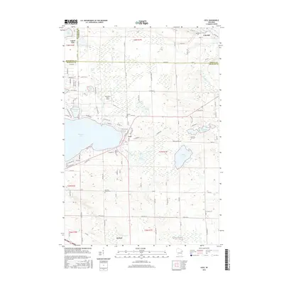
 - 2010 Map of Cecil, 2010 Print
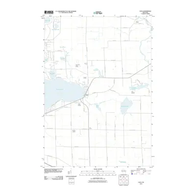 2010 Cecil2010 Print · USGSCovers Underhill, including Bonduel, Green Valley, and other nearby areas
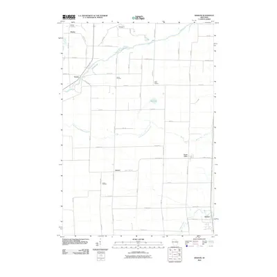
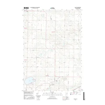
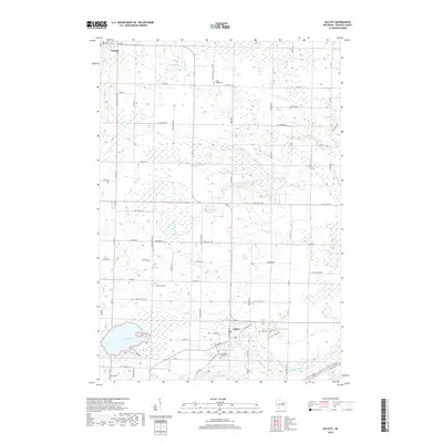
 - 2010 Map of Gillett, 2010 Print
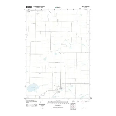 2010 Gillett2010 Print · USGSCovers Underhill, including Gillett, Suring, and other nearby areas
 - 2013 Map of Krakow, 2013 Print
 2013 Krakow2013 Print · USGSCovers Underhill, including Chase, Angelica, and other nearby areas
 - 2013 Map of Gillett, 2013 Print
 2013 Gillett2013 Print · USGSCovers Underhill, including Gillett, Suring, and other nearby areas
 - 2013 Map of Berry Lake, 2013 Print
 2013 Berry Lake2013 Print · USGSCovers Underhill, including Suring, Hintz, and other nearby areas
 - 2013 Map of Cecil, 2013 Print
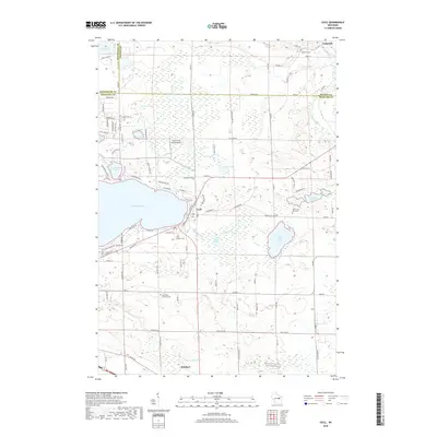
 2013 Cecil2013 Print · USGSCovers Underhill, including Bonduel, Green Valley, and other nearby areas
 - 2016 Map of Krakow, 2016 Print
 2016 Krakow2016 Print · USGSCovers Underhill, including Chase, Angelica, and other nearby areas
 - 2016 Map of Berry Lake, 2016 Print
 2016 Berry Lake2016 Print · USGSCovers Underhill, including Suring, Hintz, and other nearby areas
 - 2016 Map of Cecil, 2016 Print
 2016 Cecil2016 Print · USGSCovers Underhill, including Bonduel, Green Valley, and other nearby areas
 - 2016 Map of Gillett, 2016 Print
 2016 Gillett2016 Print · USGSCovers Underhill, including Gillett, Suring, and other nearby areas
 - 2018 Map of Krakow, 2018 Print
 2018 Krakow2018 Print · USGSCovers Underhill, including Chase, Angelica, and other nearby areas
 - 2018 Map of Berry Lake, 2018 Print
 2018 Berry Lake2018 Print · USGSCovers Underhill, including Suring, Hintz, and other nearby areas
 - 2018 Map of Gillett, 2018 Print
 2018 Gillett2018 Print · USGSCovers Underhill, including Gillett, Suring, and other nearby areas
 - 2018 Map of Cecil, 2018 Print
 2018 Cecil2018 Print · USGSCovers Underhill, including Bonduel, Green Valley, and other nearby areas
 - 2022 Map of Krakow, 2022 Print
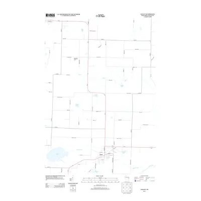
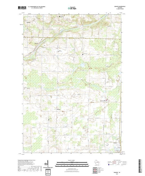 2022 Krakow2022 Print · USGSThe rural borderlands of Oconto and Shawano counties are documented here in the early twenty-first century as a landscape of small farm towns and river valleys. Researchers can trace family history through sites like Dickson Cem or the settlements of Advance and Krakow.
 - 2022 Map of Gillett, 2022 Print
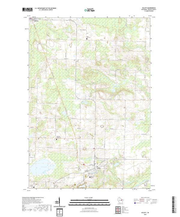 2022 Gillett2022 Print · USGSThe northern Wisconsin towns of Gillett and Suring are captured here alongside the Oconto River during the early 2020s. Genealogists and local historians can trace family locations near Wanderer's Rest Cem, Christie Lake, and the Nicolet State Trl.
 - 2022 Map of Cecil, 2022 Print
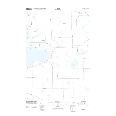
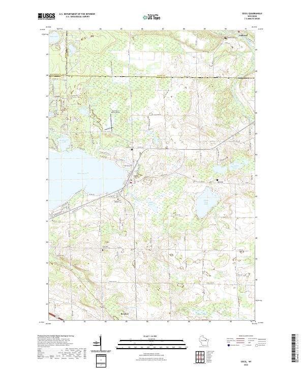 2022 Cecil2022 Print · USGSEastern Shawano County at the start of the 2020s shows a landscape of lakeside villages and deep-rooted rural parishes. Researchers can locate family sites at Saint Martin Catholic Cem, track the shores of Shawano Lake, or find the small Deer Haven Ranch Airport.
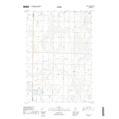
 - 2022 Map of Berry Lake, 2022 Print
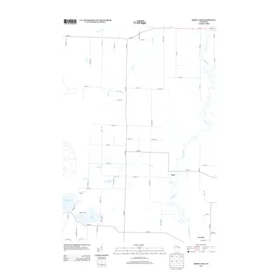
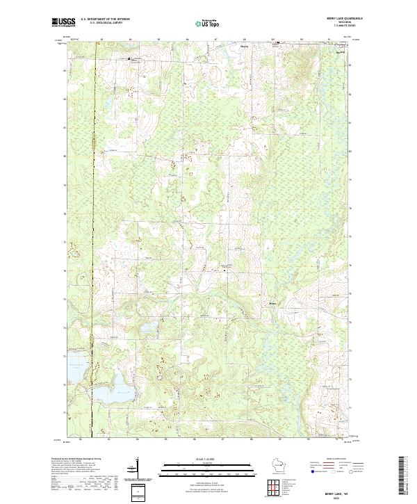 2022 Berry Lake2022 Print · USGSThe Oconto River valley and the village of Suring are captured here in the early twenty-first century. Researchers can trace rural lineages at Saint Michael's Catholic Church Cem and map the shorelines of Moshawquit Lake and Berry Lake.
End of results
Showing maps 1-20 of 20
Top cities near Underhill
- Shawano historical maps
- Pulaski historical maps
- Chase historical maps
- Belle Plaine historical maps
- Angelica historical maps
- Keshena historical maps
See more
Top neighborhoods of Underhill
Frequently asked questions
- What are the different types of historical maps available for Underhill?
- What is the oldest map of Underhill?
- Where can I purchase historical maps of Underhill for my home or office?
- Where can I download high-res historical maps of Underhill?
- Are there historical topographic maps available for Underhill?
- Is there historical aerial imagery available for Underhill?
- Where are historical maps of Underhill sourced from?