2000s (21st Century) Maps of Minocqua, Wisconsin
Explore 59 historic maps of Minocqua from the 2000s (21st Century). These maps offer a rare glimpse into what life looked like during the 2000s — showing old roads, neighborhoods, homes, and landmarks that have changed or disappeared over time.
Whether you're researching your family's past, planning a metal detecting trip, or studying how Minocqua's landscape evolved across the 2000s, these high-resolution maps are a powerful tool for exploring the history of this region.
- Focus on a specific era: All maps on this page are from the 2000s, giving you a focused view of this time period.
- See what’s changed: Compare century-old streets, trails, and buildings to today's modern landscape using overlays and satellite layers.
- Research with precision: Use these maps for genealogy, historical research, land use analysis, or educational projects.
- View, download, or print: Maps are fully viewable online in high resolution, and can be downloaded or printed for your own records.
Start exploring Minocqua's history through authentic maps from the 2000s. This is your window into the past.
Minocqua, WI maps
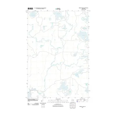
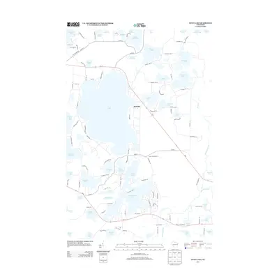
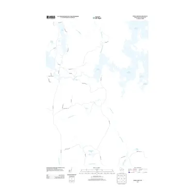
(59)- 2005 Map of Pike Lake, 2006 Print
 2005 Pike Lake2006 Print · USGSThe Price County woods and waters are revealed here as they appeared at the start of the millennium, centered on the Chequamegon-Nicolet National Forest. You can trace the historic Chippewa Trail or locate isolated landmarks like Memorial Grove and Ferry Springs.
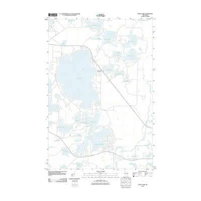
 - 2005 Map of Lac Du Flambeau, 2006 Print
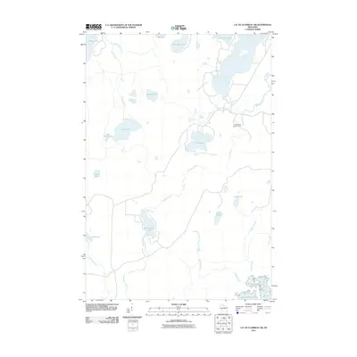
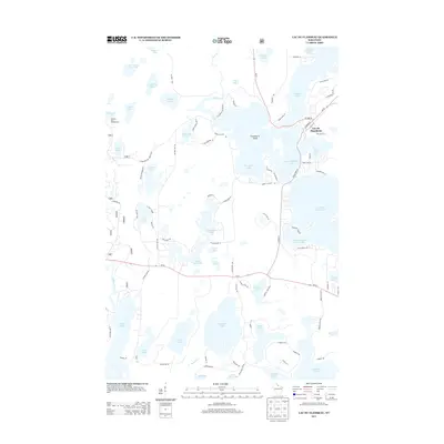
 2005 Lac Du Flambeau2006 Print · USGSThe glacial lakes of the Vilas and Oneida county line are mapped here at the start of the millennium. Genealogists and historians can trace the settlement of Lac du Flambeau and landmarks like Strawberry Island or the Cem.
 - 2005 Map of Thunder Creek, 2006 Print
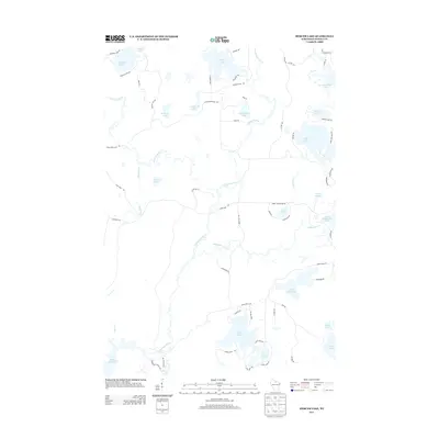
 2005 Thunder Creek2006 Print · USGSNorthwoods timber and wetlands define this Price County landscape at the turn of the millennium. Researchers can trace the remote settlement of Dover and find old routes like Turcott Road near the banks of Willow Lake.
 - 2005 Map of Pike Lake SE, 2006 Print
 2005 Pike Lake SE2006 Print · USGSNorthern Wisconsin's deep woods and wetlands are preserved here in the mid-2000s, where Price and Oneida counties meet. Researchers can trace forest management boundaries like the Medford-Park Falls Ranger District and find secluded water sources like Sieverson Spring and Lake Sixteen.
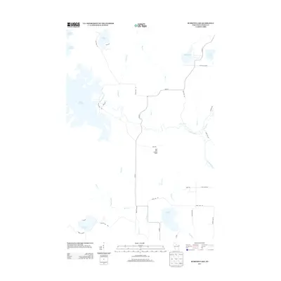
 - 2010 Map of Lac du Flambeau SW, 2010 Print
 2010 Lac du Flambeau SW2010 Print · USGSCovers Minocqua, including Oneida County, United States, and other nearby areas
 - 2010 Map of Woodruff, 2010 Print
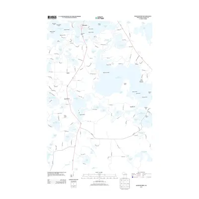
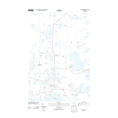
 2010 Woodruff2010 Print · USGSCovers Minocqua, including Boulder Junction, Woodruff, and other nearby areas
 - 2010 Map of Pier Lake, 2010 Print
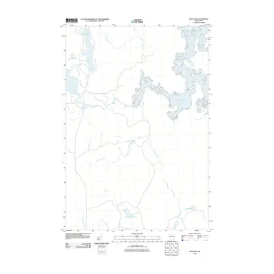 2010 Pier Lake2010 Print · USGSCovers Minocqua, including Lynne, Little Rice, and other nearby areas
 - 2010 Map of Burrows Lake, 2010 Print
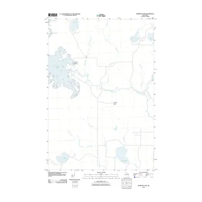 2010 Burrows Lake2010 Print · USGSCovers Minocqua, including Hazelhurst, Little Rice, and other nearby areas
 - 2010 Map of Mercer Lake, 2010 Print
 2010 Mercer Lake2010 Print · USGSCovers Minocqua, including Hazelhurst, Oneida County, and other nearby areas
 - 2010 Map of Fence Lake, 2010 Print
 2010 Fence Lake2010 Print · USGSCovers Minocqua, including Lac du Flambeau, Woodruff, and other nearby areas
 - 2010 Map of Hazelhurst, 2010 Print
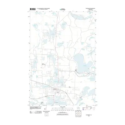
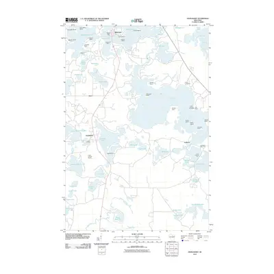 2010 Hazelhurst2010 Print · USGSCovers Minocqua, including Hazelhurst, Lake Tomahawk, and other nearby areas
 - 2011 Map of Pike Lake SE, 2011 Print
 2011 Pike Lake SE2011 Print · USGSCovers Minocqua, including Fifield, Emery, and other nearby areas
 - 2011 Map of Thunder Creek, 2011 Print
 2011 Thunder Creek2011 Print · USGSCovers Minocqua, including Lynne, Emery, and other nearby areas
 - 2011 Map of Pike Lake, 2011 Print
 2011 Pike Lake2011 Print · USGSCovers Minocqua, including Lac du Flambeau, Fifield, and other nearby areas
 - 2011 Map of Lac du Flambeau, 2011 Print
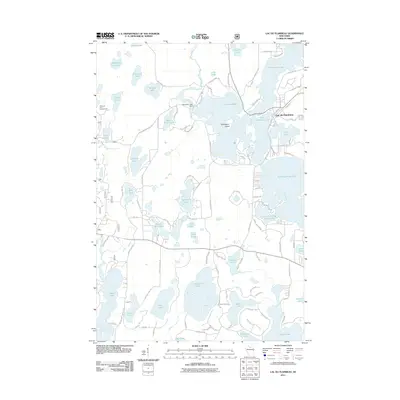 2011 Lac du Flambeau2011 Print · USGSCovers Minocqua, including Lac du Flambeau, Sherman, and other nearby areas
 - 2013 Map of Pike Lake SE, 2013 Print
 2013 Pike Lake SE2013 Print · USGSCovers Minocqua, including Fifield, Emery, and other nearby areas
 - 2013 Map of Thunder Creek, 2013 Print
 2013 Thunder Creek2013 Print · USGSCovers Minocqua, including Lynne, Emery, and other nearby areas
 - 2013 Map of Fence Lake, 2013 Print
 2013 Fence Lake2013 Print · USGSCovers Minocqua, including Lac du Flambeau, Woodruff, and other nearby areas
 - 2013 Map of Burrows Lake, 2013 Print
 2013 Burrows Lake2013 Print · USGSCovers Minocqua, including Hazelhurst, Little Rice, and other nearby areas
 - 2013 Map of Hazelhurst, 2013 Print
 2013 Hazelhurst2013 Print · USGSCovers Minocqua, including Hazelhurst, Lake Tomahawk, and other nearby areas
 - 2013 Map of Pike Lake, 2013 Print
 2013 Pike Lake2013 Print · USGSCovers Minocqua, including Lac du Flambeau, Fifield, and other nearby areas
 - 2013 Map of Mercer Lake, 2013 Print
 2013 Mercer Lake2013 Print · USGSCovers Minocqua, including Hazelhurst, Oneida County, and other nearby areas
 - 2013 Map of Lac du Flambeau, 2013 Print
 2013 Lac du Flambeau2013 Print · USGSCovers Minocqua, including Lac du Flambeau, Sherman, and other nearby areas
 - 2013 Map of Pier Lake, 2013 Print
 2013 Pier Lake2013 Print · USGSCovers Minocqua, including Lynne, Little Rice, and other nearby areas
 - 2013 Map of Woodruff, 2013 Print
 2013 Woodruff2013 Print · USGSCovers Minocqua, including Boulder Junction, Woodruff, and other nearby areas
Showing maps 1-25 of 59
Top cities near Minocqua
- Lac du Flambeau historical maps
- Hazelhurst historical maps
- Lake Tomahawk historical maps
- Boulder Junction historical maps
- Fifield historical maps
- Woodruff historical maps
See more
Top neighborhoods of Minocqua
Frequently asked questions
- What are the different types of historical maps available for Minocqua?
- What is the oldest map of Minocqua?
- Where can I purchase historical maps of Minocqua for my home or office?
- Where can I download high-res historical maps of Minocqua?
- Are there historical topographic maps available for Minocqua?
- Is there historical aerial imagery available for Minocqua?
- Where are historical maps of Minocqua sourced from?