Old Maps of Bovina, Wisconsin for Metal Detecting
Plan your next treasure hunt with 35 historic maps of Bovina. Find old homesites, ghost towns, trails, and gathering spots that may be lost to time — perfect for identifying promising metal detecting locations.
- Locate forgotten sites: Uncover places like long-lost settlements, abandoned rail lines, or gathering spots.
- Plan better hunts: Use map overlays combined with LiDAR or satellite views to narrow in on historically rich areas.
- Made for detectorists: Thousands of hobbyists use these maps to discover relics, coins, and hidden history.
Use these historic maps to boost your research and find new opportunities beneath the surface of Bovina.
Bovina, WI maps
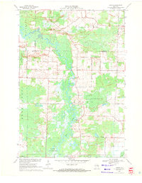
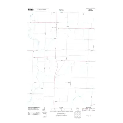
(35)- 1955 Map of Embarrass, 1957 Print
 1955 Embarrass1957 Print · USGSIn the mid-1950s, this pocket of Wisconsin was a landscape of dairy townships and evolving rural education. Genealogists can trace family roots through numerous sites like St John Ch, the Danish Cem, and many schoolhouses marked abandoned including Riverbank Sch.2 unique versions available
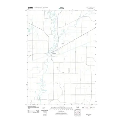
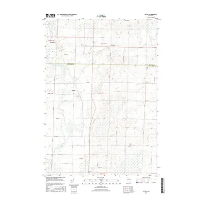
 - 1955 Map of Appleton, 1957 Print
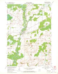
 1955 Appleton1957 Print · USGSOutagamie County's river-driven industrial valley and sprawling northern farmsteads are captured here in the mid-1950s. Genealogists and historians can trace the foundations of Appleton and Kaukauna or locate rural landmarks like Mackville Station and the Herman Sch (Abandoned).2 unique versions available
 - 1955 Map of Seymour, 1957 Print
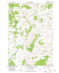
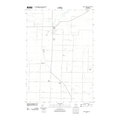
 1955 Seymour1957 Print · USGSWisconsin's dairy heartland comes alive in this mid-century survey of the borderlands between Shawano and Outagamie counties. Genealogists can trace family roots through numerous rural schools and churches, from St Johns Ch to the Elm Grove Cem near Laney.3 unique versions available
 - 1955 Map of Green Bay, 1968 Print
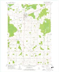
 1955 Green Bay1968 Print · USGSCentral and Eastern Wisconsin are captured here in the mid-fifties, showing the industrial growth of the Fox Valley and Wisconsin River corridors. Genealogists and historians can trace rail lines like the Green Bay and Western through settlements like Weyauwega, Clintonville, and Pulaski.2 unique versions available
 - 1956 Map of New London, 1958 Print
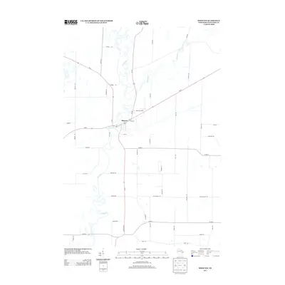
 1956 New London1958 Print · USGSWisconsin's Fox Valley region in the mid-fifties shows a landscape of river-town commerce and deep rural roots. Genealogists can trace family sites at Wanderers Rest Cem or locate the many country schools like Golden Hill Sch and Hickory Grove Sch.
 - 1969 Map of Leeman, 1971 Print
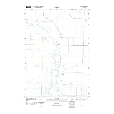
 1969 Leeman1971 Print · USGSOutagamie and Shawano counties are captured here in the late sixties, where the winding Wolf River meets vast conservation lands. Researchers can locate family landmarks along Eskman Road, the St Lawrence Cem, and the old Navarino Sch.
 - 1969 Map of Shiocton, 1972 Print
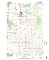
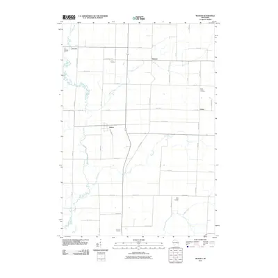
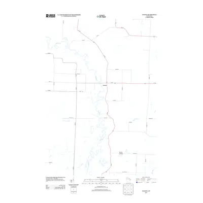
 1969 Shiocton1972 Print · USGSWisconsin's Fox Valley region in the late sixties reveals a landscape shaped by the winding Wolf River and the Green Bay and Western railroad. Genealogists and local historians can trace family connections at Bovina Cem or locate old homesteads along Mayflower Drive and Kirschner Road.2 unique versions available
 - 1974 Map of Nichols, 1977 Print
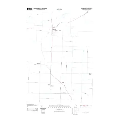
 1974 Nichols1977 Print · USGSThe rural landscapes of Outagamie and Shawano Counties are captured here in the mid-seventies, centered on the rail-linked village of Nichols. Researchers can trace old family sites near Briarton and local cemeteries like North Cicero Cem along the Shioc River corridor.
 - 1974 Map of Black Creek, 1978 Print
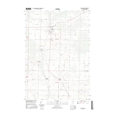
 1974 Black Creek1978 Print · USGSOutagamie County's agricultural and transit corridors are frozen in time here during the mid-seventies, centered on the railroad village of Black Creek. Genealogists and local historians can trace family roots through numerous sites like Binghamton Cem, Twelve Corners, and Emmanuel Ch.
 - 1984 Map of Appleton, 1985 Print
 1984 Appleton1985 Print · USGSThe Fox River Valley in the mid-eighties shows a bustling corridor of industry and nature, from the shores of Lake Winnebago to the Oneida Indian Reservation. Trace local heritage through landmarks like Riverside Cem or explore the wetlands of Poygan Marsh State Wildlife Area.2 unique versions available
 - 1984 Map of Shawano, 1985 Print
 1984 Shawano1985 Print · USGSNortheast Wisconsin in the mid-1980s was a landscape defined by its indigenous heritage and the bustling trade centers of the Fox and Wolf River valleys. Genealogists and historians can trace rail corridors like the Chicago and North Western or locate family sites near Keshena, Cecil, and the Fort Howard Cem.2 unique versions available
 - 1992 Map of Black Creek, 1996 Print
 1992 Black Creek1996 Print · USGSNorthern Outagamie County is documented here in the early nineties, centered on the village of Black Creek. Genealogists can locate family burial sites at Sassman Cem or Saint Petri Cem and trace rural settlements like Binghamton and Twelve Corners.
 - 1992 Map of Leeman, 1996 Print
 1992 Leeman1996 Print · USGSIn the 1990s, the Wolf River basin in Outagamie County remained a vast wetland corridor preserved through state wildlife areas. Researchers can trace rural lineages at St Lawrence Cem and Oak Hill Cem or locate the riverside hamlet of Leeman.
 - 1992 Map of Nichols, 1996 Print
 1992 Nichols1996 Print · USGSThe rural landscapes of Shawano and Outagamie counties are captured here in the early nineties, showcasing the agricultural roots of Nichols and Briarton. Local researchers can trace family landmarks like Emmanuel Cem and several small extractive sites including a Quarry and Gravel Pit.
 - 1992 Map of Shiocton, 1996 Print
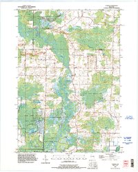
 1992 Shiocton1996 Print · USGSShiocton sits at a prominent bend in the Wolf River during the late twentieth century, surrounded by extensive wildlife areas and winding waterways. Genealogists and researchers can locate family-named landmarks like Rexford Cem, Bovina Gem, and Pluger Road.
 - 2010 Map of Nichols, 2010 Print
 2010 Nichols2010 Print · USGSCovers Bovina, including Cicero, Navarino, and other nearby areas
 - 2010 Map of Leeman, 2010 Print
 2010 Leeman2010 Print · USGSCovers Bovina, including Navarino, Leeman, and other nearby areas
 - 2010 Map of Shiocton, 2010 Print
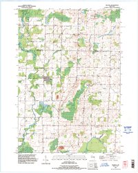
 2010 Shiocton2010 Print · USGSCovers Bovina, including Shiocton, Ellington, and other nearby areas
 - 2010 Map of Black Creek, 2010 Print
 2010 Black Creek2010 Print · USGSCovers Bovina, including Black Creek, Ellington, and other nearby areas
 - 2013 Map of Nichols, 2013 Print
 2013 Nichols2013 Print · USGSCovers Bovina, including Cicero, Navarino, and other nearby areas
 - 2013 Map of Leeman, 2013 Print
 2013 Leeman2013 Print · USGSCovers Bovina, including Navarino, Leeman, and other nearby areas
 - 2013 Map of Black Creek, 2013 Print
 2013 Black Creek2013 Print · USGSCovers Bovina, including Black Creek, Ellington, and other nearby areas
 - 2013 Map of Shiocton, 2013 Print
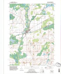
 2013 Shiocton2013 Print · USGSCovers Bovina, including Shiocton, Ellington, and other nearby areas
 - 2016 Map of Black Creek, 2016 Print
 2016 Black Creek2016 Print · USGSCovers Bovina, including Black Creek, Ellington, and other nearby areas
 - 2016 Map of Nichols, 2016 Print
 2016 Nichols2016 Print · USGSCovers Bovina, including Cicero, Navarino, and other nearby areas
Showing maps 1-25 of 35
Top cities near Bovina
- Appleton historical maps
- Grand Chute historical maps
- Fox Crossing historical maps
- Menasha historical maps
- Little Chute historical maps
- Greenville historical maps
See more
Frequently asked questions
- What are the different types of historical maps available for Bovina?
- What is the oldest map of Bovina?
- Where can I purchase historical maps of Bovina for my home or office?
- Where can I download high-res historical maps of Bovina?
- Are there historical topographic maps available for Bovina?
- Is there historical aerial imagery available for Bovina?
- Where are historical maps of Bovina sourced from?