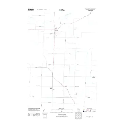
2013 Map of Black Creek
USGS Topo · Published 2013About this map
The village of Black Creek serves as the central hub for this corner of Outagamie County, where agricultural grid roads and natural waterways define the landscape. This 2013 survey illustrates a rural geography anchored by long-standing crossroads settlements such as Twelve Corners, Five Corners, and Binghamton. The intersection of Wi-54 and State Road 47 provides the primary corridor through the region, connecting these small communities with the surrounding dairy country. While much of the land is dedicated to farming, specialized land use is evident at Apple Blossom Lane Orchard near Center Valley. The drainage of the land is dictated by the meandering paths of Black Creek to the north and Duck Creek to the south, which cut through the rectilinear road network of family-named routes like Jochmann Rd and Kropp Rd.
Find a feature on this map
45 named features on this map. Tap any name to fly to it.
Don’t see what you’re looking for? This feature index may not catch every label — zoom into the map to look around manually.
Map Details
Editions of this 2013 Black Creek Map
This is the sole edition of this map. No revisions or reprints were ever made.
Other maps of this area

1955 · Embarrass
USGS Topo · 1:48,000

1955 · Appleton
USGS Topo · 1:24,000

1955 · Appleton
USGS Topo · 1:62,500

1955 · Seymour
USGS Topo · 1:62,500

1955 · Green Bay
USGS Topo · 1:250,000

1956 · New London
USGS Topo · 1:48,000

1969 · Leeman
USGS Topo · 1:24,000
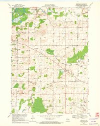
1969 · Greenville
USGS Topo · 1:24,000
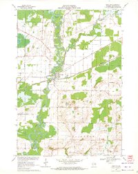
1969 · Shiocton
USGS Topo · 1:24,000

1974 · Seymour
USGS Topo · 1:24,000