Old Maps of Albany, Wisconsin for Genealogy
Trace your family roots with 32 historic maps of Albany. These high-res maps reveal old neighborhoods, homesites, landmarks, and streets — helping you uncover where your ancestors lived and how the area evolved over time.
- Explore historic neighborhoods: Identify where your relatives may have lived in the 1800s or 1900s.
- Compare maps over time: Trace the changes in streets, buildings, and landmarks for multi-generational research.
- Perfect for genealogy & ancestry research: Used by family historians and researchers to map out lineage and migration.
These maps are an incredible resource for exploring your personal connection to Albany's past.
Albany, WI maps
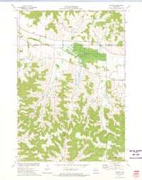
(32)- 1929 Map of Durand, 1970 Print
 1929 Durand1970 Print · USGSThe Chippewa River valley in the late 1920s reveals a landscape of river-bottom settlements and upland family farms. Genealogists can trace rural roots through numerous schoolhouses like Woods Corner Sch and landmarks like the Meridean Ferry.
 - 1932 Map of Durand
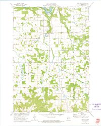
 1932 Durand1932 Print · USGSThe Chippewa River valley in the early 1930s is a landscape of complex waterways and bustling rural districts. Genealogists and historians can locate dozens of country schools like Luna Sch and trace the old rail lines serving Durand and Dunnville.2 unique versions available
 - 1932 Map of Mondovi
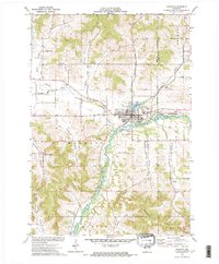
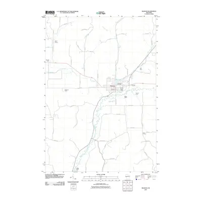
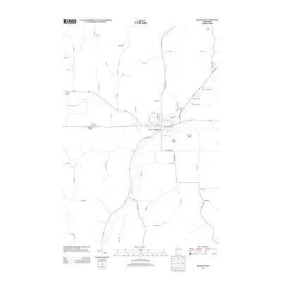
 1932 Mondovi1932 Print · USGSThe Buffalo River valley and surrounding coulees are shown here in the early thirties, centered on the hub of Mondovi. Genealogists can locate dozens of country schoolhouses like White Block Sch and rural landmarks such as Norden Ch.2 unique versions available
 - 1953 Map of Eau Claire, 1965 Print
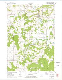
 1953 Eau Claire1965 Print · USGSWest-central Wisconsin in the mid-fifties shows a landscape of river-valley industry and vast wildlife refuges during the transition from rails to modern highways. Genealogists and historians can trace the rail corridors of the Chicago and North Western or locate family-named landmarks like Decorah Mound and Chippewa Island.4 unique versions available
 - 1958 Map of Eau Claire
 1958 Eau Claire1958 Print · USGSWestern Wisconsin in the late fifties shows a landscape of growing regional hubs and massive wildlife refuges. Trace the rail lines of the Chicago and North Western between Eau Claire and Marshfield, or explore the terrain around Iron Mound and Lake Wissota.
 - 1964 Map of Eau Claire
 1964 Eau Claire1964 Print · USGSWest-central Wisconsin in the mid-1960s was a hub of river-driven industry and expanding rail networks. Researchers can trace historic homesteads near Menomonie, follow the Soo Line RR through Marshfield, or explore the grounds of the Camp McCoy Military Reservation.
 - 1972 Map of Meridean, 1975 Print
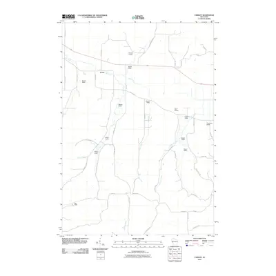
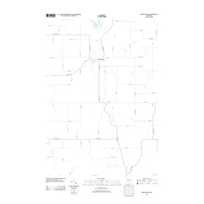
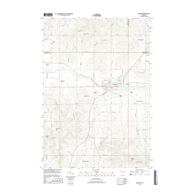
 1972 Meridean1975 Print · USGSThe Chippewa River valley in the early seventies shows a landscape of fertile bottoms and rural townships. Researchers can trace family roots at Fossum Cem and Peru Cem or locate old school sites like Grandview Sch.
 - 1972 Map of Tarrant, 1975 Print
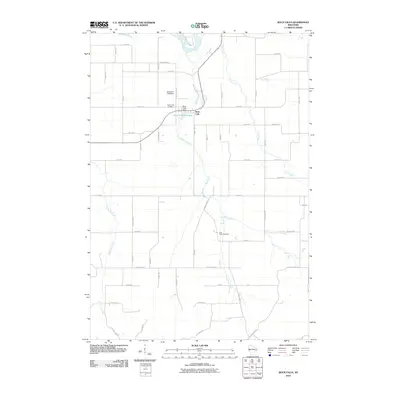
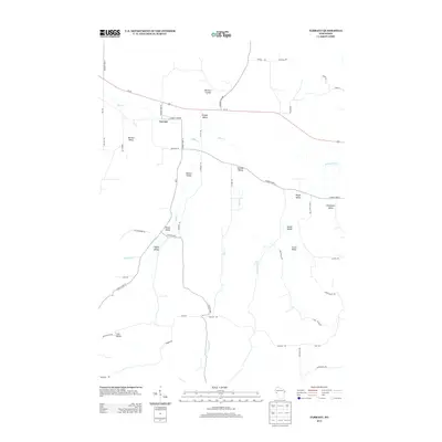
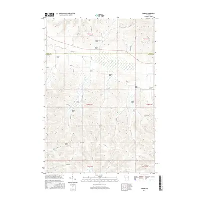
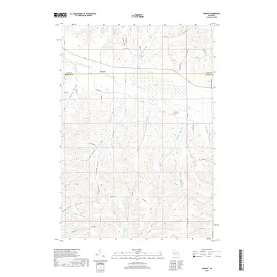
 1972 Tarrant1975 Print · USGSBuffalo County in the early seventies is a landscape of deeply carved valleys and conservation land. Genealogists and local historians can locate rural landmarks like Sacred Heart Cem, Tiffany Sch, and the small settlement of Tarrant.
 - 1973 Map of Rock Falls, 1975 Print
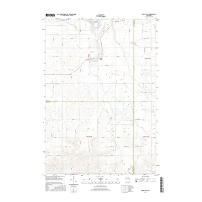
 1973 Rock Falls1975 Print · USGSDunn and Eau Claire Counties are captured here in the early 1970s, showing a landscape defined by the Chippewa River and rail lines. Researchers can locate rural landmarks like the Rock Creek Cem, the Rock Falls Millpond, and Caryville.
 - 1973 Map of Mondovi, 1975 Print
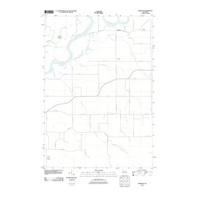
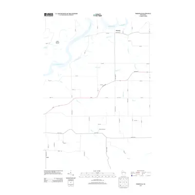
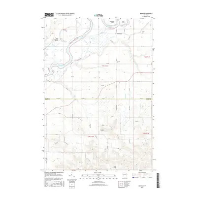
 1973 Mondovi1975 Print · USGSBuffalo County is captured here in the early 1970s, centered on the growth of the town of Mondovi and its vital riverfront. Researchers can trace rural lineages through local landmarks like German Valley Ch, Riverside Cem, and the family-named corridors of Thompson Valley.
 - 1975 Map of Rock Falls, 1978 Print
 1975 Rock Falls1978 Print · USGSIn the mid-seventies, this portion of Sauk County reveals a landscape of industrial quarries and winding river valleys. Researchers can trace the routes of the Chicago and North Western rail line and locate rural landmarks like Zion Ch, Van Hise Rock, and the Westfield Ch Cem.
 - 1985 Map of Eau Claire
 1985 Eau Claire1985 Print · USGSWestern Wisconsin's river valleys and growing mid-century cities are captured here in the mid-eighties. Genealogists and historians can trace the paths of the Chicago and North Western railroad and locate rural landmarks like Dells Millpond and Nine Mile Island.2 unique versions available
 - 2010 Map of Rock Falls, 2010 Print
 2010 Rock Falls2010 Print · USGSCovers Albany, including Rock Falls, Rock Creek, and other nearby areas
 - 2010 Map of Tarrant, 2010 Print
 2010 Tarrant2010 Print · USGSCovers Albany, including Lima, Modena, and other nearby areas
 - 2010 Map of Mondovi, 2010 Print
 2010 Mondovi2010 Print · USGSCovers Albany, including Mondovi, Gilmanton, and other nearby areas
 - 2010 Map of Meridean, 2010 Print
 2010 Meridean2010 Print · USGSCovers Albany, including Lima, Rock Creek, and other nearby areas
 - 2013 Map of Rock Falls, 2013 Print
 2013 Rock Falls2013 Print · USGSCovers Albany, including Rock Falls, Rock Creek, and other nearby areas
 - 2013 Map of Tarrant, 2013 Print
 2013 Tarrant2013 Print · USGSCovers Albany, including Lima, Modena, and other nearby areas
 - 2013 Map of Mondovi, 2013 Print
 2013 Mondovi2013 Print · USGSCovers Albany, including Mondovi, Gilmanton, and other nearby areas
 - 2013 Map of Meridean, 2013 Print
 2013 Meridean2013 Print · USGSCovers Albany, including Lima, Rock Creek, and other nearby areas
 - 2015 Map of Tarrant, 2015 Print
 2015 Tarrant2015 Print · USGSCovers Albany, including Lima, Modena, and other nearby areas
 - 2015 Map of Rock Falls, 2015 Print
 2015 Rock Falls2015 Print · USGSCovers Albany, including Rock Falls, Rock Creek, and other nearby areas
 - 2015 Map of Mondovi, 2015 Print
 2015 Mondovi2015 Print · USGSCovers Albany, including Mondovi, Gilmanton, and other nearby areas
 - 2015 Map of Meridean, 2015 Print
 2015 Meridean2015 Print · USGSCovers Albany, including Lima, Rock Creek, and other nearby areas
 - 2018 Map of Tarrant, 2018 Print
 2018 Tarrant2018 Print · USGSCovers Albany, including Lima, Modena, and other nearby areas
Showing maps 1-25 of 32
Top cities near Albany
- Eau Claire historical maps
- Menomonie historical maps
- Lake Hallie historical maps
- Pleasant Valley historical maps
- Mondovi historical maps
- Union historical maps
See more
Frequently asked questions
- What are the different types of historical maps available for Albany?
- What is the oldest map of Albany?
- Where can I purchase historical maps of Albany for my home or office?
- Where can I download high-res historical maps of Albany?
- Are there historical topographic maps available for Albany?
- Is there historical aerial imagery available for Albany?
- Where are historical maps of Albany sourced from?