
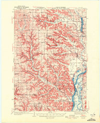
1929 Map of Durand
USGS Topo · Published 1970About this map
The Chippewa River dominates this late-1920s landscape, weaving through a complex system of sloughs and bottoms that define the borders of Dunn, Pepin, and Buffalo counties. At the heart of the region, Durand serves as the primary hub, connected to the surrounding countryside via the Chicago Milwaukee and St Paul Railway and early automotive routes like the Pacific Highway. The river geography is notably intricate, featuring Chippewa Island, Ninemile Island, and several distinct crossings, including the Meridean Ferry near the settlement of Meridean.
Find a feature on this map
91 named features on this map. Tap any name to fly to it.
Don’t see what you’re looking for? This feature index may not catch every label — zoom into the map to look around manually.
Map Details
Editions of this 1929 Durand Map
This is the sole edition of this map. No revisions or reprints were ever made.
Other maps of this area
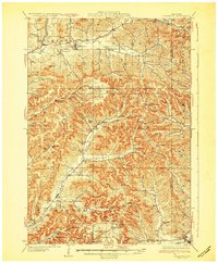
1932 · Gilmanton
USGS Topo · 1:62,500
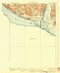
1932 · Wabasha
USGS Topo · 1:62,500

1932 · Durand
USGS Topo · 1:62,500
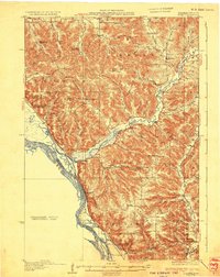
1932 · Alma
USGS Topo · 1:62,500
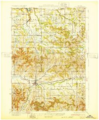
1932 · Mondovi
USGS Topo · 1:62,500
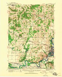
1934 · Elk Mound
USGS Topo · 1:62,500
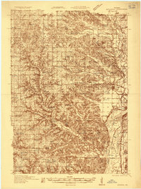
1935 · Arkansaw
USGS Topo · 1:48,000
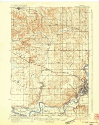
1936 · Elk Mound
USGS Topo · 1:62,500
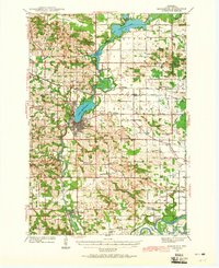
1940 · Menomonie
USGS Topo · 1:62,500
1941 · Arkansaw
USGS Topo · 1:62,500