2000s (21st Century) Maps of Pepin, Wisconsin
Explore 20 historic maps of Pepin from the 2000s (21st Century). These maps offer a rare glimpse into what life looked like during the 2000s — showing old roads, neighborhoods, homes, and landmarks that have changed or disappeared over time.
Whether you're researching your family's past, planning a metal detecting trip, or studying how Pepin's landscape evolved across the 2000s, these high-resolution maps are a powerful tool for exploring the history of this region.
- Focus on a specific era: All maps on this page are from the 2000s, giving you a focused view of this time period.
- See what’s changed: Compare century-old streets, trails, and buildings to today's modern landscape using overlays and satellite layers.
- Research with precision: Use these maps for genealogy, historical research, land use analysis, or educational projects.
- View, download, or print: Maps are fully viewable online in high resolution, and can be downloaded or printed for your own records.
Start exploring Pepin's history through authentic maps from the 2000s. This is your window into the past.
Pepin, WI maps
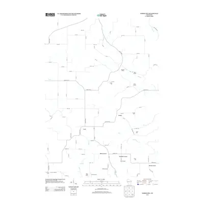
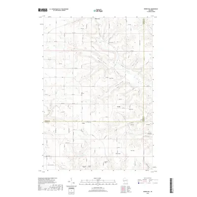
(20)- 2010 Map of Nerike Hill, 2010 Print
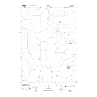 2010 Nerike Hill2010 Print · USGSCovers Pepin, including Plum City, Stockholm, and other nearby areas
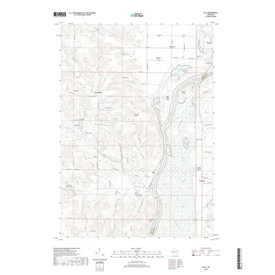
 - 2010 Map of Ella, 2010 Print
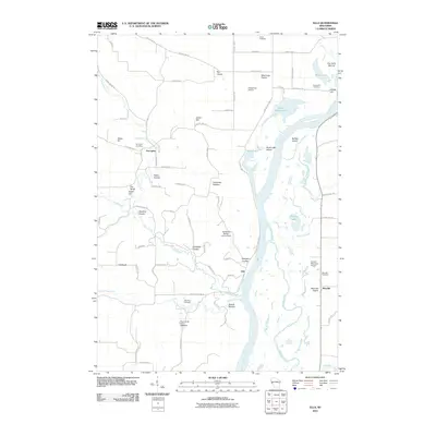 2010 Ella2010 Print · USGSCovers Pepin, including Maxville, Nelson, and other nearby areas
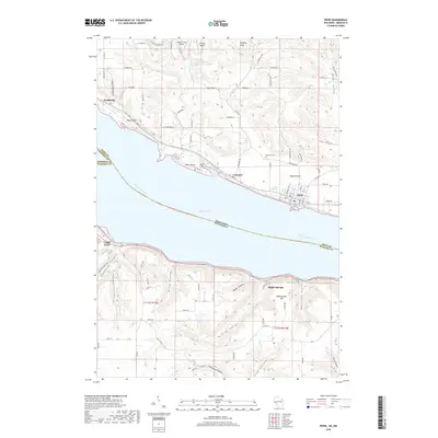
 - 2010 Map of Pepin, 2010 Print
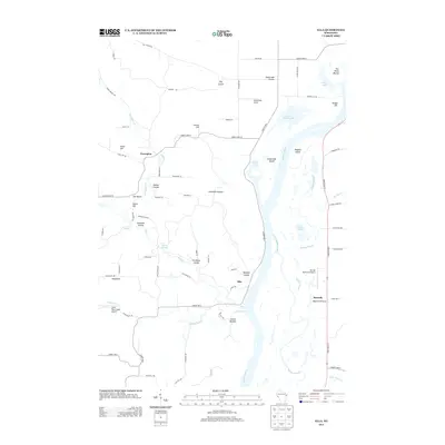
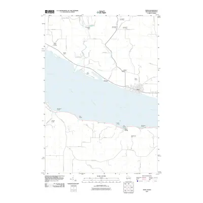 2010 Pepin2010 Print · USGSCovers Pepin, including Lake City, Stockholm, and other nearby areas
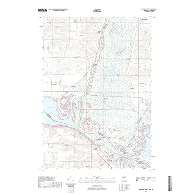
 - 2010 Map of Wabasha North, 2010 Print
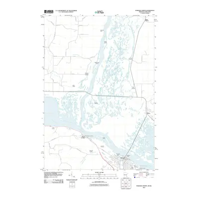 2010 Wabasha North2010 Print · USGSCovers Pepin, including Wabasha, Nelson, and other nearby areas
 - 2013 Map of Ella, 2013 Print
 2013 Ella2013 Print · USGSCovers Pepin, including Maxville, Nelson, and other nearby areas
 - 2013 Map of Nerike Hill, 2013 Print
 2013 Nerike Hill2013 Print · USGSCovers Pepin, including Plum City, Stockholm, and other nearby areas
 - 2013 Map of Pepin, 2013 Print
 2013 Pepin2013 Print · USGSCovers Pepin, including Lake City, Stockholm, and other nearby areas
 - 2013 Map of Wabasha North, 2013 Print
 2013 Wabasha North2013 Print · USGSCovers Pepin, including Wabasha, Nelson, and other nearby areas
 - 2015 Map of Pepin, 2015 Print
 2015 Pepin2015 Print · USGSCovers Pepin, including Lake City, Stockholm, and other nearby areas
 - 2015 Map of Nerike Hill, 2015 Print
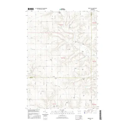 2015 Nerike Hill2015 Print · USGSCovers Pepin, including Plum City, Stockholm, and other nearby areas
 - 2015 Map of Ella, 2015 Print
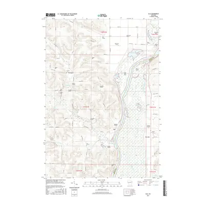 2015 Ella2015 Print · USGSCovers Pepin, including Maxville, Nelson, and other nearby areas
 - 2016 Map of Wabasha North, 2016 Print
 2016 Wabasha North2016 Print · USGSCovers Pepin, including Wabasha, Nelson, and other nearby areas
 - 2018 Map of Nerike Hill, 2018 Print
 2018 Nerike Hill2018 Print · USGSCovers Pepin, including Plum City, Stockholm, and other nearby areas
 - 2018 Map of Ella, 2018 Print
 2018 Ella2018 Print · USGSCovers Pepin, including Maxville, Nelson, and other nearby areas
 - 2018 Map of Pepin, 2018 Print
 2018 Pepin2018 Print · USGSCovers Pepin, including Lake City, Stockholm, and other nearby areas
 - 2019 Map of Wabasha North, 2019 Print
 2019 Wabasha North2019 Print · USGSCovers Pepin, including Wabasha, Nelson, and other nearby areas
 - 2022 Map of Ella, 2022 Print
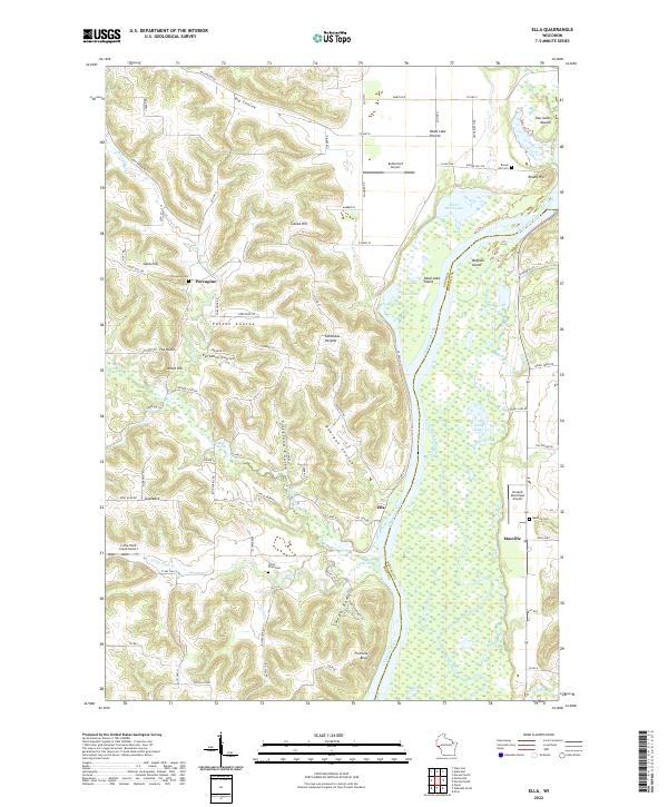 2022 Ella2022 Print · USGSPepin and Buffalo Counties are documented here as they appeared in the early 2020s, showcasing the complex river bottomlands of the Chippewa River. Genealogists and local historians can locate small rural centers like Ella and Porcupine, along with several burial grounds such as Little Plum Cem and Round Hill Cem.
 - 2022 Map of Nerike Hill, 2022 Print
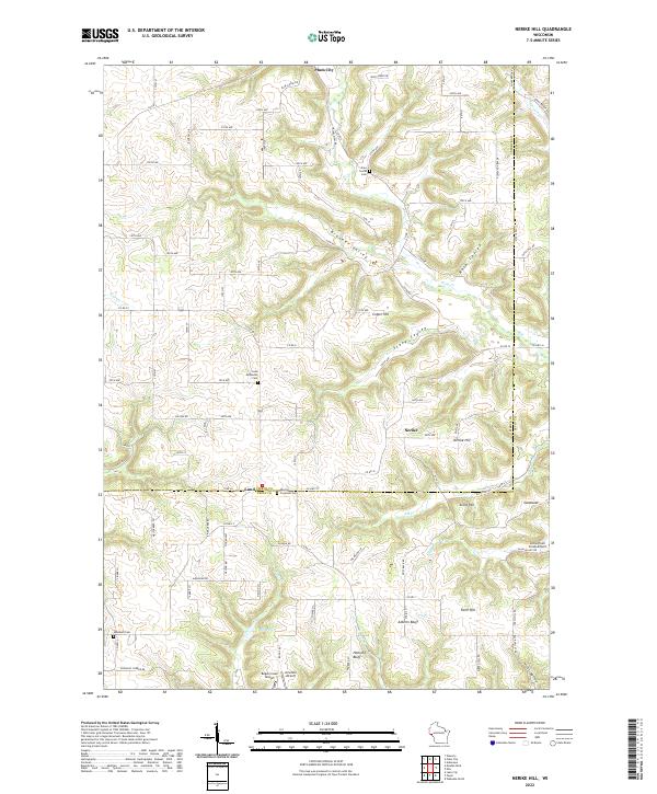 2022 Nerike Hill2022 Print · USGSPierce and Pepin counties are captured here in a detailed contemporary snapshot of West Central Wisconsin's driftless-style terrain. Researchers can locate family heritage sites like Free Home Cemetery or trace the rural landscape from Plum City to Hellsing Bluff.
 - 2022 Map of Pepin, 2022 Print
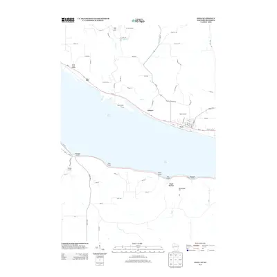
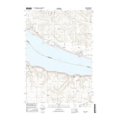
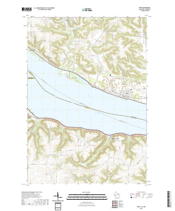 2022 Pepin2022 Print · USGSThe widening Mississippi River defines the border between Wisconsin and Minnesota in this contemporary survey of the Lake Pepin region. Researchers can trace the layout of Pepin and Stockholm or locate rural landmarks like Oakwood Cem and Maple Springs.
 - 2022 Map of Wabasha North, 2022 Print
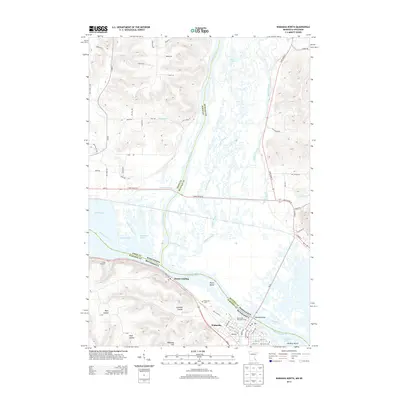
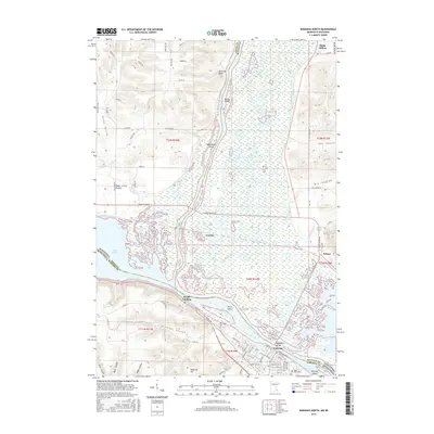
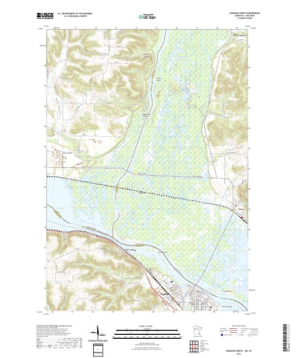 2022 Wabasha North2022 Print · USGSThe Mississippi and Chippewa rivers meet in a complex of islands and sloughs during the early twenty-first century. Researchers can trace the riverfront layout of Wabasha, explore the bluffs at Fivemile Bluff, and locate historic sites like Reads Landing and Riverview Cem.
End of results
Showing maps 1-20 of 20
Top cities near Pepin
- Lake City historical maps
- Wabasha historical maps
- Durand historical maps
- Eau Galle historical maps
- El Paso historical maps
- Pepin historical maps
See more
Top neighborhoods of Pepin
- Barry Corner historical maps
- Hawkins Corner historical maps
- Lund historical maps
- Lakeport historical maps
Frequently asked questions
- What are the different types of historical maps available for Pepin?
- What is the oldest map of Pepin?
- Where can I purchase historical maps of Pepin for my home or office?
- Where can I download high-res historical maps of Pepin?
- Are there historical topographic maps available for Pepin?
- Is there historical aerial imagery available for Pepin?
- Where are historical maps of Pepin sourced from?