Old Maps of Pepin, Wisconsin for Genealogy
Trace your family roots with 35 historic maps of Pepin. These high-res maps reveal old neighborhoods, homesites, landmarks, and streets — helping you uncover where your ancestors lived and how the area evolved over time.
- Explore historic neighborhoods: Identify where your relatives may have lived in the 1800s or 1900s.
- Compare maps over time: Trace the changes in streets, buildings, and landmarks for multi-generational research.
- Perfect for genealogy & ancestry research: Used by family historians and researchers to map out lineage and migration.
These maps are an incredible resource for exploring your personal connection to Pepin's past.
Pepin, WI maps
(35)- 1932 Map of Wabasha
 1932 Wabasha1932 Print · USGSThe Mississippi River valley near the Chippewa delta was a thriving hub of rail and river commerce in the early thirties. Genealogists can trace early homesteads and community hubs through landmarks like Hicks Valley Sch, Stockholm, and the river crossing at Nelson.2 unique versions available
 - 1935 Map of Arkansaw
 1935 Arkansaw1935 Print · USGSThe rural uplands and river valleys of Pepin and Dunn Counties are captured here during the mid-1930s. Researchers can trace dozens of country school sites like Point Sch and Knight Sch, or locate family landmarks at Exile and Eau Galle Mill.
 - 1941 Map of Arkansaw
 1941 Arkansaw1941 Print · USGSPepin and Pierce counties appear at the start of the 1940s as a land of rural schools and river-valley farming. Researchers can trace family sites at Plum City, Dead Lake Cem, or schools like Maxwell Prairie Sch along the Chippewa River.
 - 1942 Map of Arkansaw
 1942 Arkansaw1942 Print · USGSThe Driftless Area of Pepin and Pierce counties comes to life in the 1940s, showing a landscape of deep coulees and river valleys. Genealogists can locate dozens of country schools like Whipple Hill Sch and historic local landmarks such as St Joseph Ch and Exile.2 unique versions available
 - 1951 Map of Wabasha
 1951 Wabasha1951 Print · USGSThe Mississippi River valley and Lake Pepin define this mid-century landscape at the border of Minnesota and Wisconsin. Researchers can trace rural school districts like Scott Settlement Sch and old river settlements from Stockholm to Wabasha.3 unique versions available
 - 1953 Map of Saint Paul, 1964 Print
 1953 Saint Paul1964 Print · USGSThe Twin Cities and the Mississippi River valley are captured here at a mid-century turning point. Trace the early growth of Minneapolis and Saint Paul alongside landmarks like Lake Minnetonka and the St Croix River.4 unique versions available
 - 1959 Map of Saint Paul
 1959 Saint Paul1959 Print · USGSThe Twin Cities and southeastern Minnesota appear here in the late fifties, showing the peak of the rail era and post-war suburban growth. Genealogists can trace family footprints near Lake Minnetonka, the Univ Of Minn Rosemount Research Center, or the growing neighborhoods of Richfield.2 unique versions available
 - 1972 Map of Ella, 1975 Print
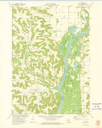 1972 Ella1975 Print · USGSThe river bluffs and bottomlands of the Chippewa River valley are captured here in the early seventies, showing a landscape defined by water and rail. Genealogists and local historians can locate Little Plum Church, Maxville Cemetery, and the remote heights of Goatback.
 - 1972 Map of Nerike Hill, 1975 Print
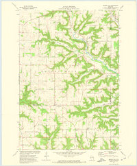 1972 Nerike Hill1975 Print · USGSPierce and Pepin Counties in the early 1970s show a landscape of steep coulees and tight-knit rural crossroads. Researchers can trace family history through landmarks like Mission Covenant Ch, Free Home Cem, and the small settlement at Lund.
 - 1974 Map of Wabasha North, 1976 Print
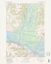 1974 Wabasha North1976 Print · USGSThe confluence of the Mississippi and Chippewa Rivers comes alive in the mid-seventies, showing the riverfront towns of Wabasha and Reads Landing. Genealogists can locate family landmarks like St Felix Cem and Riverview Cem alongside the heavy rail corridors of the Burlington Northern.2 unique versions available
 - 1974 Map of Pepin, 1976 Print
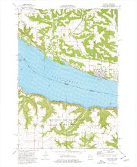 1974 Pepin1976 Print · USGSThe Mississippi River valley at Lake Pepin comes to life in the mid-1970s, showcasing the river-and-rail corridor connecting Wisconsin and Minnesota. Genealogists and historians can trace riverside settlements like Stockholm and Pepin, and locate rural landmarks such as Oakwood Cem and Bogus Bluff.
 - 1985 Map of Hastings
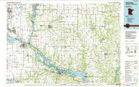 1985 Hastings1985 Print · USGSThe river valleys of the St. Croix and Mississippi dominate this mid-eighties landscape as they border Minnesota and Wisconsin. You can trace the boundaries of the Prairie Island Indian Res, find the old rail alignments of the SOO LINE, and locate remote bluffs like Rattlesnake Point.
 - 1985 Map of Rochester
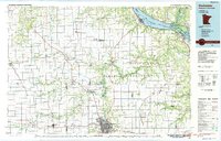 1985 Rochester1985 Print · USGSSoutheastern Minnesota in the mid-eighties centers on the growth of Rochester and its surrounding river valleys. Trace family roots and old rail lines through Mantorville, Pine Island, and along the Mississippi River near Lake Pepin.
 - 1989 Map of Rochester
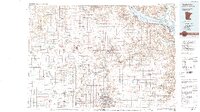 1989 Rochester1989 Print · USGSSoutheastern Minnesota and the Mississippi River bluffs are captured here in the late eighties as the region balanced urban growth with its river-and-rail heritage. Researchers can trace the development of Rochester and find smaller rail towns like Kasson, Dodge Center, and Zumbrota.2 unique versions available
 - 1990 Map of Hastings, 1991 Print
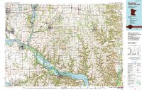 1990 Hastings1991 Print · USGSThe river confluence at Hastings and Prescott is captured here in the final decade of the twentieth century, showing a landscape defined by the Mississippi River and St Croix River. Genealogists and historians can trace rail corridors like the Soo RR and find smaller settlements such as Miesville, Wacouta, and Diamond Bluff.
 - 2010 Map of Nerike Hill, 2010 Print
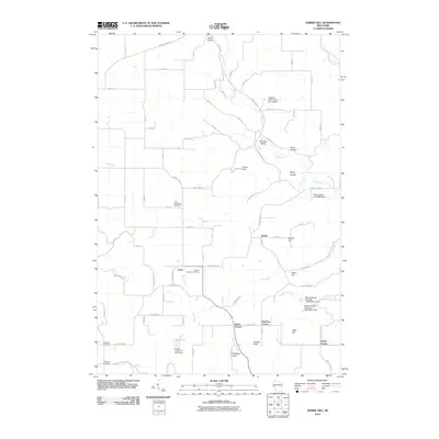 2010 Nerike Hill2010 Print · USGSPierce County’s ridge-and-valley landscape is documented here in the early twenty-first century. Genealogists and local historians can trace family ties at the Lund Methodist Cemetery or locate historic rural hubs like Nerike and Devils Corner.
 - 2010 Map of Ella, 2010 Print
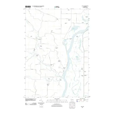 2010 Ella2010 Print · USGSThe Chippewa River valley in the early twenty-first century remains a landscape of intricate sloughs and upland coulees. Genealogists and local historians can trace family roots through Porcupine Cemetery, Maxville, and several rural landmarks like Round Hill.
 - 2010 Map of Pepin, 2010 Print
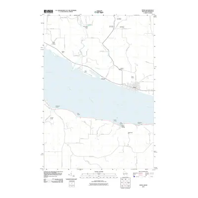 2010 Pepin2010 Print · USGSThe Wisconsin and Minnesota shores of the Mississippi River meet here in the early twenty-first century. Researchers can trace landforms from Pepin Prairie to Bogus Bluff and find local landmarks such as Oakwood Cemetery and Lakeport.
 - 2010 Map of Wabasha North, 2010 Print
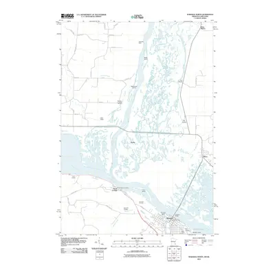 2010 Wabasha North2010 Print · USGSThe confluence of the Mississippi and Chippewa Rivers comes alive in this 2010 study of the border region between Minnesota and Wisconsin. Researchers can trace the riverfront history of Wabasha and Reads Landing, or locate landmarks like Saint Felix Cemetery and the Richard H Jahnke 904 Dam.
 - 2013 Map of Ella, 2013 Print
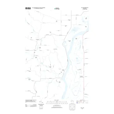 2013 Ella2013 Print · USGSWisconsin's Chippewa River valley reveals its complex network of sloughs and coulees during the early twenty-first century. Researchers can trace rural aviation at Rutherford Airport, locate old landing sites like Swede Ramble, and explore the terrain of Maxville Prairie.
 - 2013 Map of Nerike Hill, 2013 Print
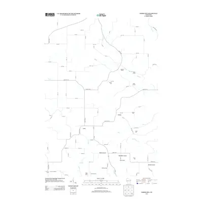 2013 Nerike Hill2013 Print · USGSPierce County farmsteads and rural crossroads define this corner of Wisconsin in the early twenty-first century. Researchers can trace family-named landmarks and local hubs like Lund, Hawkins Corner, and the distinctive Alberts Bluff.
 - 2013 Map of Pepin, 2013 Print
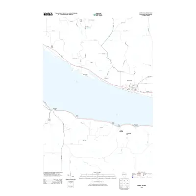 2013 Pepin2013 Print · USGSThe riverfront communities of Wisconsin and Minnesota meet at Lake Pepin in this modern topographic survey. Local historians can trace the deep-cut terrain of Horse Thief Coulee or locate the small landing strips at Airwolfe Airport and Bogus Creek Airport.
 - 2013 Map of Wabasha North, 2013 Print
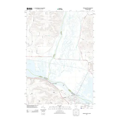 2013 Wabasha North2013 Print · USGSThe riverfront communities of Wabasha and Reads Landing are shown along the Upper Mississippi just after the turn of the millennium. Researchers can trace local landmarks like Riverview Cem, the Mississippi Parkside Marina, and the complex wetlands of Buffalo Slough.
 - 2015 Map of Pepin, 2015 Print
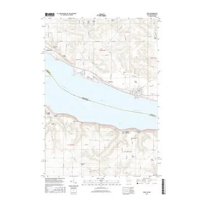 2015 Pepin2015 Print · USGSThe Mississippi River valley comes alive in the mid-2010s at the junction of Wisconsin and Minnesota. Genealogists and local historians can trace the streets of Pepin and Stockholm, locate Oakwood Cem, or explore named landmarks like Bogus Bluff and Maple Springs.
 - 2015 Map of Nerike Hill, 2015 Print
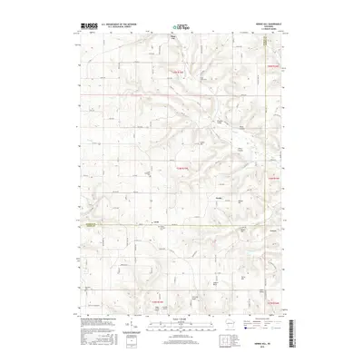 2015 Nerike Hill2015 Print · USGSThe rural borders of Pierce and Pepin Counties come alive in this mid-2010s survey of the coulee country. Genealogists can trace several historic burial grounds like Free Home Cem and Sabylund Cem near the settlements of Lund and Nerike.
Showing maps 1-25 of 35
Top cities near Pepin
- Lake City historical maps
- Wabasha historical maps
- Durand historical maps
- Eau Galle historical maps
- El Paso historical maps
- Pepin historical maps
See more
Top neighborhoods of Pepin
- Barry Corner historical maps
- Hawkins Corner historical maps
- Lund historical maps
- Lakeport historical maps
Frequently asked questions
- What are the different types of historical maps available for Pepin?
- What is the oldest map of Pepin?
- Where can I purchase historical maps of Pepin for my home or office?
- Where can I download high-res historical maps of Pepin?
- Are there historical topographic maps available for Pepin?
- Is there historical aerial imagery available for Pepin?
- Where are historical maps of Pepin sourced from?