Old Maps of Arkansaw, Waterville for Genealogy
Trace your family roots with 13 historic maps of Arkansaw. These high-res maps reveal old neighborhoods, homesites, landmarks, and streets — helping you uncover where your ancestors lived and how the area evolved over time.
- Explore historic neighborhoods: Identify where your relatives may have lived in the 1800s or 1900s.
- Compare maps over time: Trace the changes in streets, buildings, and landmarks for multi-generational research.
- Perfect for genealogy & ancestry research: Used by family historians and researchers to map out lineage and migration.
These maps are an incredible resource for exploring your personal connection to Arkansaw's past.
Arkansaw, Waterville maps
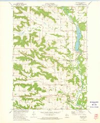
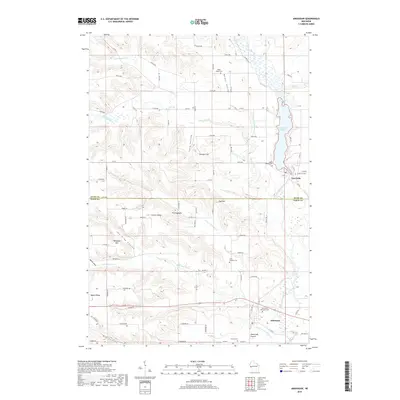
(13)- 1935 Map of Arkansaw
 1935 Arkansaw1935 Print · USGSThe rural uplands and river valleys of Pepin and Dunn Counties are captured here during the mid-1930s. Researchers can trace dozens of country school sites like Point Sch and Knight Sch, or locate family landmarks at Exile and Eau Galle Mill.
 - 1941 Map of Arkansaw
 1941 Arkansaw1941 Print · USGSPepin and Pierce counties appear at the start of the 1940s as a land of rural schools and river-valley farming. Researchers can trace family sites at Plum City, Dead Lake Cem, or schools like Maxwell Prairie Sch along the Chippewa River.
 - 1942 Map of Arkansaw
 1942 Arkansaw1942 Print · USGSThe Driftless Area of Pepin and Pierce counties comes to life in the 1940s, showing a landscape of deep coulees and river valleys. Genealogists can locate dozens of country schools like Whipple Hill Sch and historic local landmarks such as St Joseph Ch and Exile.2 unique versions available
 - 1953 Map of Saint Paul, 1964 Print
 1953 Saint Paul1964 Print · USGSThe Twin Cities and the Mississippi River valley are captured here at a mid-century turning point. Trace the early growth of Minneapolis and Saint Paul alongside landmarks like Lake Minnetonka and the St Croix River.4 unique versions available
 - 1959 Map of Saint Paul
 1959 Saint Paul1959 Print · USGSThe Twin Cities and southeastern Minnesota appear here in the late fifties, showing the peak of the rail era and post-war suburban growth. Genealogists can trace family footprints near Lake Minnetonka, the Univ Of Minn Rosemount Research Center, or the growing neighborhoods of Richfield.2 unique versions available
 - 1972 Map of Arkansaw, 1975 Print
 1972 Arkansaw1975 Print · USGSThe Coulee Region of Pepin and Dunn counties is shown here in the early 1970s as a land of high ridges and narrow valleys. Genealogists can trace family landmarks like Weber Valley Cem, St Henrys Ch, and the rural community of Arkansaw.
 - 1985 Map of Hastings
 1985 Hastings1985 Print · USGSThe river valleys of the St. Croix and Mississippi dominate this mid-eighties landscape as they border Minnesota and Wisconsin. You can trace the boundaries of the Prairie Island Indian Res, find the old rail alignments of the SOO LINE, and locate remote bluffs like Rattlesnake Point.
 - 1990 Map of Hastings, 1991 Print
 1990 Hastings1991 Print · USGSThe river confluence at Hastings and Prescott is captured here in the final decade of the twentieth century, showing a landscape defined by the Mississippi River and St Croix River. Genealogists and historians can trace rail corridors like the Soo RR and find smaller settlements such as Miesville, Wacouta, and Diamond Bluff.
 - 2010 Map of Arkansaw, 2010 Print
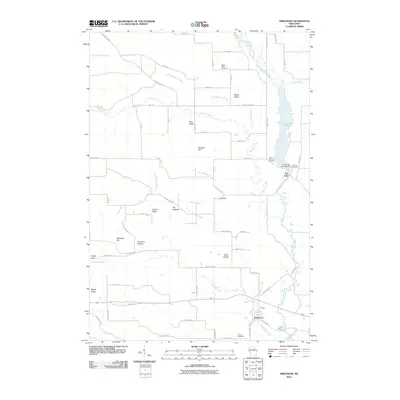 2010 Arkansaw2010 Print · USGSCovers Arkansaw, including Eau Galle, Waterville, and other nearby areas
 - 2013 Map of Arkansaw, 2013 Print
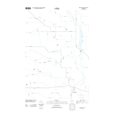 2013 Arkansaw2013 Print · USGSCovers Arkansaw, including Eau Galle, Waterville, and other nearby areas
 - 2015 Map of Arkansaw, 2015 Print
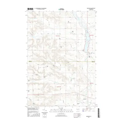 2015 Arkansaw2015 Print · USGSCovers Arkansaw, including Eau Galle, Waterville, and other nearby areas
 - 2018 Map of Arkansaw, 2018 Print
 2018 Arkansaw2018 Print · USGSCovers Arkansaw, including Eau Galle, Waterville, and other nearby areas
 - 2022 Map of Arkansaw, 2022 Print
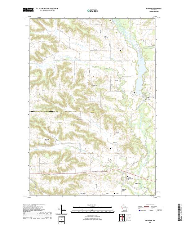 2022 Arkansaw2022 Print · USGSThe borderlands of Pepin and Dunn counties are captured here in a period of quiet rural continuity. Genealogists can locate family sites and small burial grounds like Gasteyer Farm Cem, Saint Henrys Cem, and French Cem along the ridges of Coburn Ridge and the Big Coulee.
End of results
Showing maps 1-13 of 13
Top cities near Arkansaw
- Menomonie historical maps
- Lake City historical maps
- Red Cedar historical maps
- Durand historical maps
- Red Cedar historical maps
- Spring Valley historical maps
See more
Frequently asked questions
- What are the different types of historical maps available for Arkansaw?
- What is the oldest map of Arkansaw?
- Where can I purchase historical maps of Arkansaw for my home or office?
- Where can I download high-res historical maps of Arkansaw?
- Are there historical topographic maps available for Arkansaw?
- Is there historical aerial imagery available for Arkansaw?
- Where are historical maps of Arkansaw sourced from?