Old Maps of Beaver, Wisconsin for Genealogy
Trace your family roots with 22 historic maps of Beaver. These high-res maps reveal old neighborhoods, homesites, landmarks, and streets — helping you uncover where your ancestors lived and how the area evolved over time.
- Explore historic neighborhoods: Identify where your relatives may have lived in the 1800s or 1900s.
- Compare maps over time: Trace the changes in streets, buildings, and landmarks for multi-generational research.
- Perfect for genealogy & ancestry research: Used by family historians and researchers to map out lineage and migration.
These maps are an incredible resource for exploring your personal connection to Beaver's past.
Beaver, WI maps
(22)- 1950 Map of Balsam Lake, 1952 Print
 1950 Balsam Lake1952 Print · USGSPolk County's lake country is captured here at mid-century, showing a landscape defined by the Soo Line and the Apple River. Genealogists can trace family roots through numerous sites like Holy Rosary Ch, Lykens, and School No 1.3 unique versions available
 - 1950 Map of Turtle Lake, 1968 Print
 1950 Turtle Lake1968 Print · USGSBarron and Polk Counties are mapped here in the mid-twentieth century at a pivotal moment of rail-centered commerce and rural education. Genealogists and historians can locate dozens of country institutions, from Holy Trinity Ch and Bethany Cem to the Hay River Valley Sch.
 - 1952 Map of Turtle Lake
 1952 Turtle Lake1952 Print · USGSIn the early 1950s, the railroad junction at Turtle Lake served as the heartbeat of this lake-dotted Wisconsin landscape. Genealogists and local historians can trace rural family roots through numerous sites like St Anne Cem, Magnor Lake Sch, and the settlement of Clayton.
 - 1953 Map of Stillwater, 1980 Print
 1953 Stillwater1980 Print · USGSThe Twin Cities and the St. Croix Valley are captured in this mid-century survey as the interstate era began to transform the Upper Midwest. Genealogists and historians can trace the rail-and-river geography of Stillwater, locate landmarks in Anoka, or explore the sprawling St Croix State Park.
 - 1955 Map of Stillwater, 1965 Print
 1955 Stillwater1965 Print · USGSThe Upper St. Croix Valley and the growing Twin Cities area are shown here during the mid-fifties, before the interstate era transformed the regional commute. You can trace the lines of the Northern Pacific RR through towns like Rush City or locate the Saint Croix Indian Reservation.
 - 1958 Map of Stillwater
 1958 Stillwater1958 Print · USGSThe Upper Mississippi and St. Croix River valleys appear in the mid-fifties as the Twin Cities expanded north. Genealogists can locate family landmarks like Oak Park Cem, Saint Michael Church, and the Soo Line RR rail corridors.2 unique versions available
 - 1965 Map of Stillwater
 1965 Stillwater1965 Print · USGSThe Twin Cities and the St. Croix Valley are mapped here during a period of significant post-war growth and industrial transit. Genealogists and historians can trace rail lines like the Northern Pacific RR through towns such as Rush City, Amery, and Balsam Lake.
 - 1974 Map of Balsam Lake NE, 1976 Print
 1974 Balsam Lake NE1976 Print · USGSNorthwestern Wisconsin’s glacial terrain and agricultural grid are preserved in this mid-seventies aerial survey. Researchers can trace the boundaries of rural homesteads and identify precise land use patterns along the Range line and throughout the lake-dotted landscape.
 - 1975 Map of Stillwater
 1975 Stillwater1975 Print · USGSThe Twin Cities and the St. Croix Valley are captured in the mid-seventies, showing the urban growth of Minneapolis and St Paul. Researchers can trace old rail corridors of the Northern Pacific RR and locate tribal lands at the Mille Lacs Indian Reservation.2 unique versions available
 - 1978 Map of Range, 1979 Print
 1978 Range1979 Print · USGSPolk County's lake-strewn landscape is captured here in the late 1970s, showcasing the rural crossroads and wetland conservation areas of western Wisconsin. Genealogists can trace family footprints at St Marys Cem or Elim Ch, and locate old township hubs like Range and Bunyan.
 - 1978 Map of Turtle Lake, 1979 Print
 1978 Turtle Lake1979 Print · USGSTurtle Lake at the end of the 1970s shows a classic Wisconsin rail-junction village surrounded by a dense landscape of lakes and wetlands. Researchers can trace the Soo Line rail corridors, the historic Old Mill Pond, and family landmarks like Mt Hope Cem.
 - 1985 Map of Stillwater
 1985 Stillwater1985 Print · USGSThe St. Croix River valley in the mid-1980s reveals a borderland of river towns and conservation areas. Trace the rail lines of the Soo Line, locate the Minnesota State Prison, and explore the numerous wildlife areas like Cylon Marsh.2 unique versions available
 - 2010 Map of Range, 2010 Print
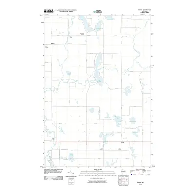 2010 Range2010 Print · USGSPolk County at the start of the 2010s reveals a landscape of interconnected glacial lakes and quiet rural settlements. Researchers can trace local history through named sites like Ridler Dam, Bunyan, and several family-linked burial grounds including Elim Cemetery.
 - 2010 Map of Turtle Lake, 2010 Print
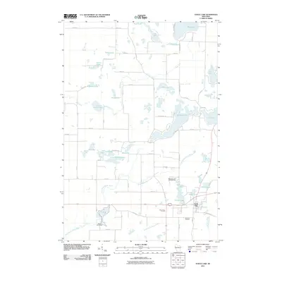 2010 Turtle Lake2010 Print · USGSWisconsin's glacial lake country is mapped here in the early twenty-first century as the village of Turtle Lake anchors a landscape of wetlands and water. Researchers can trace local heritage at Mount Hope Cemetery or follow the legacy of water power at Old Mill Pond and Beaver Brook Dam.
 - 2013 Map of Turtle Lake, 2013 Print
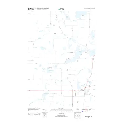 2013 Turtle Lake2013 Print · USGSBarron County is shown in the early twenty-first century, revealing a landscape shaped by glacial waters and rural development. Genealogists and local historians can trace family locations along the Apple River or near the Old Mill Pond and Joel Flowage 22.
 - 2013 Map of Range, 2013 Print
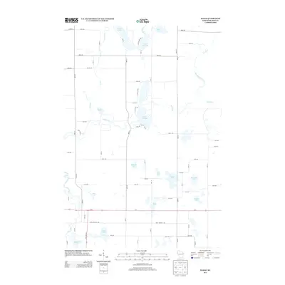 2013 Range2013 Print · USGSPolk County's lake country is captured here during the early 2010s, showing a rural landscape defined by the winding Apple River. Researchers can trace old property access and shoreline details along Big Blake Lake, White Ash Lake, and the Apple River Flowage 134.
 - 2015 Map of Range, 2015 Print
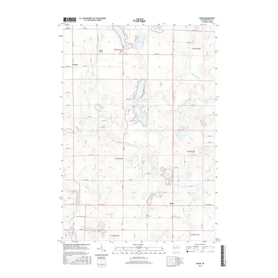 2015 Range2015 Print · USGSPolk County at the turn of the century remains a landscape of glacial lakes and river flowages. Genealogists and local historians can locate the small settlements of Range and Bunyan alongside family heritage sites like Saint Marys Cem and Elim Cem.
 - 2015 Map of Turtle Lake, 2015 Print
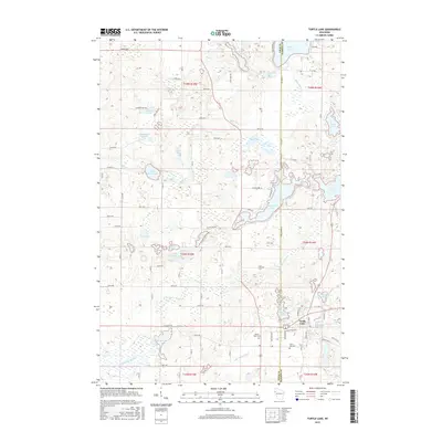 2015 Turtle Lake2015 Print · USGSWisconsin's lakeland border between Polk and Barron counties is captured here in the mid-2010s, centered on the village of Turtle Lake. Local historians can trace family plots at Saint Ann Cem or explore the waterfront geography around Horseshoe Lake and the Old Mill Pond.
 - 2018 Map of Range, 2018 Print
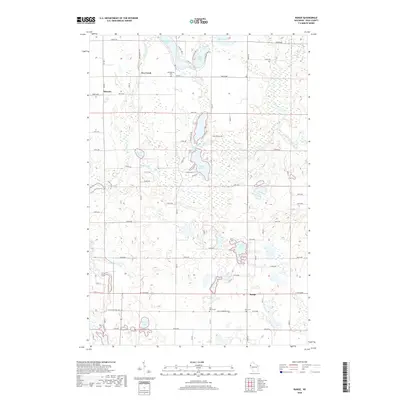 2018 Range2018 Print · USGSPolk County in the early twenty-first century remains a landscape of glacial lakes and rural crossroads. Genealogists can locate family sites near Georgetown Cem or Elim Cem and trace the paths of Rice Bed Creek and the Apple River.
 - 2018 Map of Turtle Lake, 2018 Print
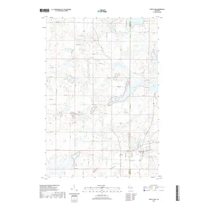 2018 Turtle Lake2018 Print · USGSWisconsin's lake country in the late 2010s is defined by a dense network of glacial waters and quiet rural roads. Genealogists and local historians can trace landmarks like Mount Hope Cemetery, the Cattail State Trail, and the shoreline of Horseshoe Lake.
 - 2022 Map of Turtle Lake, 2022 Print
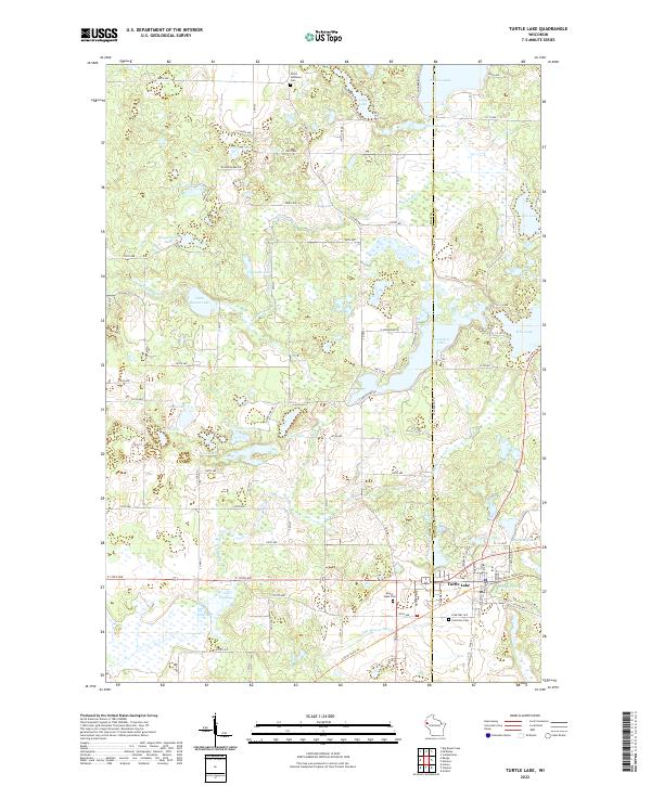 2022 Turtle Lake2022 Print · USGSTurtle Lake and the surrounding dairy country are captured here in the early twenty-first century. Genealogists and local historians can trace family plots at Mount Hope Cem or follow the route of the Cattail State Trl past Old Mill Pond.
 - 2022 Map of Range, 2022 Print
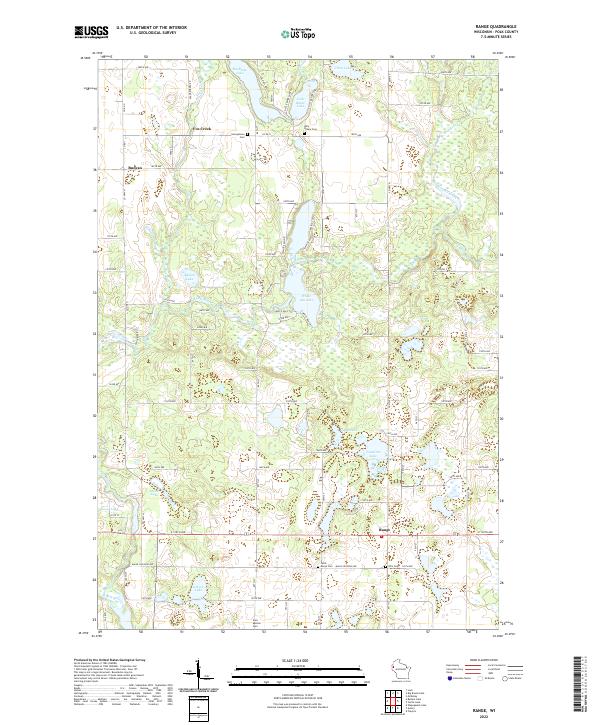 2022 Range2022 Print · USGSPolk County settlement and the meandering Apple River define this rural landscape. Genealogists can locate several local burial grounds including Saint Marys Cem and the Free Mission Cem near the hamlet of Range.
End of results
Showing maps 1-22 of 22
Top cities near Beaver
- Amery historical maps
- Cumberland historical maps
- Town of Lincoln historical maps
- Town of Black Brook historical maps
- Luck historical maps
- Clear Lake historical maps
See more
Top neighborhoods of Beaver
Frequently asked questions
- What are the different types of historical maps available for Beaver?
- What is the oldest map of Beaver?
- Where can I purchase historical maps of Beaver for my home or office?
- Where can I download high-res historical maps of Beaver?
- Are there historical topographic maps available for Beaver?
- Is there historical aerial imagery available for Beaver?
- Where are historical maps of Beaver sourced from?