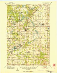
1952 Map of Turtle Lake
USGS Topo · Published 1952About this map
The intersection of the Chicago St Paul Minneapolis and Omaha and the Minneapolis St Paul and Sault Ste Marie railroads anchors the village of Turtle Lake, a vital transport hub in western Wisconsin during the early 1950s. The landscape is defined by an intricate network of glacial lakes and waterways, including the Apple River and the sprawling Lower Turtle Lake. These water bodies provided the foundation for local industry and recreation, evidenced by the Old Mill Pond and various lakeside settlements.
Find a feature on this map
110 named features on this map. Tap any name to fly to it.
Don’t see what you’re looking for? This feature index may not catch every label — zoom into the map to look around manually.
Map Details
Editions of this 1952 Turtle Lake Map
This is the sole edition of this map. No revisions or reprints were ever made.
Other maps of this area
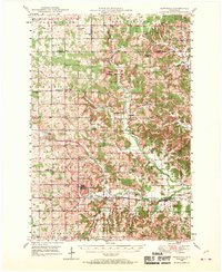
1948 · Downing
USGS Topo · 1:62,500
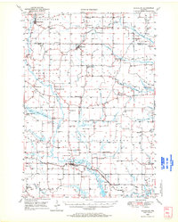
1949 · Ridgeland
USGS Topo · 1:62,500
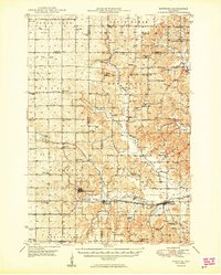
1950 · Downing
USGS Topo · 1:62,500
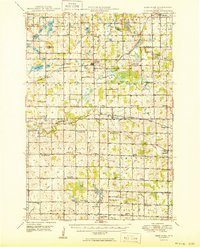
1950 · Deer Park
USGS Topo · 1:62,500
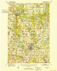
1950 · Balsam Lake
USGS Topo · 1:62,500
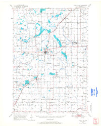
1950 · Turtle Lake
USGS Topo · 1:62,500
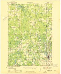
1951 · Cumberland
USGS Topo · 1:48,000

1951 · Frederic
USGS Topo · 1:48,000
1951 · Ridgeland
USGS Topo · 1:62,500
1951 · Shell Lake
USGS Topo · 1:48,000