Old Maps of Georgetown, Wisconsin for Hiking & Exploration
Hike through history with 38 historic maps of Georgetown. Explore old trails, ghost towns, and forgotten backroads — perfect for outdoor adventurers and local explorers.
- Rediscover forgotten places: Map out old mining camps, roads, and footpaths that no longer exist on modern maps.
- Layer with modern tools: Combine with LiDAR or satellite views to plan hikes through historical terrain.
- Made for exploration: Popular among hikers, overlanders, and local history lovers.
Use these maps to find adventure and explore the hidden past of Georgetown.
Georgetown, WI maps
(38)- 1950 Map of Balsam Lake, 1952 Print
 1950 Balsam Lake1952 Print · USGSPolk County's lake country is captured here at mid-century, showing a landscape defined by the Soo Line and the Apple River. Genealogists can trace family roots through numerous sites like Holy Rosary Ch, Lykens, and School No 1.3 unique versions available
 - 1951 Map of Frederic
 1951 Frederic1951 Print · USGSPolk and Burnett counties are captured here just after the war, showing a landscape defined by rail and water. Researchers can trace family roots through numerous sites like St Peters Cem, Lincoln Sch, and the village of Frederic.
 - 1953 Map of Stillwater, 1980 Print
 1953 Stillwater1980 Print · USGSThe Twin Cities and the St. Croix Valley are captured in this mid-century survey as the interstate era began to transform the Upper Midwest. Genealogists and historians can trace the rail-and-river geography of Stillwater, locate landmarks in Anoka, or explore the sprawling St Croix State Park.
 - 1955 Map of Frederic, 1957 Print
 1955 Frederic1957 Print · USGSNorthwestern Wisconsin’s lake country is captured here in the mid-fifties as small towns like Frederic and Luck thrived along the Soo Line. Genealogists and local historians can pinpoint many rural landmarks, including Lawson Cem, Zion Ch, and several township schools.
 - 1955 Map of Stillwater, 1965 Print
 1955 Stillwater1965 Print · USGSThe Upper St. Croix Valley and the growing Twin Cities area are shown here during the mid-fifties, before the interstate era transformed the regional commute. You can trace the lines of the Northern Pacific RR through towns like Rush City or locate the Saint Croix Indian Reservation.
 - 1958 Map of Stillwater
 1958 Stillwater1958 Print · USGSThe Upper Mississippi and St. Croix River valleys appear in the mid-fifties as the Twin Cities expanded north. Genealogists can locate family landmarks like Oak Park Cem, Saint Michael Church, and the Soo Line RR rail corridors.2 unique versions available
 - 1965 Map of Stillwater
 1965 Stillwater1965 Print · USGSThe Twin Cities and the St. Croix Valley are mapped here during a period of significant post-war growth and industrial transit. Genealogists and historians can trace rail lines like the Northern Pacific RR through towns such as Rush City, Amery, and Balsam Lake.
 - 1974 Map of Frederic SW, 1976 Print
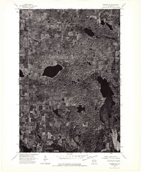 1974 Frederic SW1976 Print · USGSNorthwestern Wisconsin's agricultural and lake country is captured here during the mid-seventies via high-resolution aerial imagery. Trace the rural development and land patterns around the village of Luck as they appeared decades ago.
 - 1974 Map of Balsam Lake NW, 1976 Print
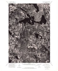 1974 Balsam Lake NW1976 Print · USGSThe lakeside community and surrounding farmsteads of Polk County are captured in detailed aerial imagery from the mid-seventies. Trace property lines and shorelines around Balsam Lake as they appeared decades ago.
 - 1974 Map of Frederic SE, 1976 Print
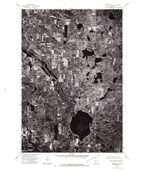 1974 Frederic SE1976 Print · USGSIn the mid-1970s, the glacial landscape of Polk County was captured in this detailed aerial orthophoto. Researchers can trace the exact alignment of Highway 48 and examine the layout of rural farmsteads and forested woodlots across this characteristic Wisconsin terrain.
 - 1974 Map of Balsam Lake NE, 1976 Print
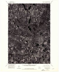 1974 Balsam Lake NE1976 Print · USGSNorthwestern Wisconsin’s glacial terrain and agricultural grid are preserved in this mid-seventies aerial survey. Researchers can trace the boundaries of rural homesteads and identify precise land use patterns along the Range line and throughout the lake-dotted landscape.
 - 1975 Map of Stillwater
 1975 Stillwater1975 Print · USGSThe Twin Cities and the St. Croix Valley are captured in the mid-seventies, showing the urban growth of Minneapolis and St Paul. Researchers can trace old rail corridors of the Northern Pacific RR and locate tribal lands at the Mille Lacs Indian Reservation.2 unique versions available
 - 1978 Map of Range, 1979 Print
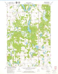 1978 Range1979 Print · USGSPolk County's lake-strewn landscape is captured here in the late 1970s, showcasing the rural crossroads and wetland conservation areas of western Wisconsin. Genealogists can trace family footprints at St Marys Cem or Elim Ch, and locate old township hubs like Range and Bunyan.
 - 1978 Map of Balsam Lake, 1979 Print
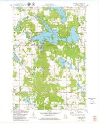 1978 Balsam Lake1979 Print · USGSBalsam Lake and the surrounding Polk County townships are captured here in the late seventies during a period of established lakeside community growth. Researchers can locate the Courthouse and several local cemeteries, including Balsam Lake Cem and Union Cem.
 - 1983 Map of Luck
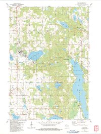 1983 Luck1983 Print · USGSWisconsin's lakeland terrain is captured here in the early eighties, centered on the villages of Luck and Milltown. Genealogists and local historians can trace the SOO LINE rail route or locate rural landmarks like St Peters Cem and Butternut Cem.
 - 1983 Map of Big Round Lake
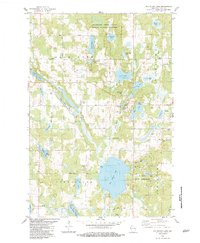 1983 Big Round Lake1983 Print · USGSPolk County was a landscape of dense woods and glacial lakes in the early eighties, where small lakeside communities flourished. Genealogists and local researchers can trace family landmarks like Johnstown Cem, the Round Lake Chapel, and the borders of the St Croix Indian Reservation.
 - 1985 Map of Grantsburg
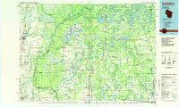 1985 Grantsburg1985 Print · USGSThe river borderlands of Minnesota and Wisconsin come alive in the mid-1980s, showcasing the intricate water networks and forest preserves of Burnett and Pine counties. Trace the rail lines of the Soo Line or find rural landmarks like Trade Lake Ch and Hildas Corner.2 unique versions available
 - 1985 Map of Stillwater
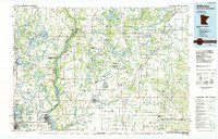 1985 Stillwater1985 Print · USGSThe St. Croix River valley in the mid-1980s reveals a borderland of river towns and conservation areas. Trace the rail lines of the Soo Line, locate the Minnesota State Prison, and explore the numerous wildlife areas like Cylon Marsh.2 unique versions available
 - 2010 Map of Range, 2010 Print
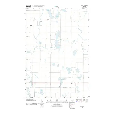 2010 Range2010 Print · USGSPolk County at the start of the 2010s reveals a landscape of interconnected glacial lakes and quiet rural settlements. Researchers can trace local history through named sites like Ridler Dam, Bunyan, and several family-linked burial grounds including Elim Cemetery.
 - 2010 Map of Balsam Lake, 2010 Print
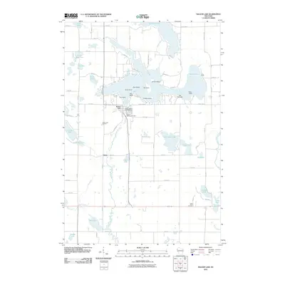 2010 Balsam Lake2010 Print · USGSBalsam Lake and its surrounding wetlands were well-established as a residential and recreation hub by the early 2010s. Local researchers can trace family sites near Lykens, locate the Balsam Lake Cemetery, or study the shoreline at Big Narrows.
 - 2010 Map of Big Round Lake, 2010 Print
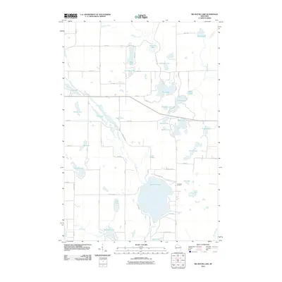 2010 Big Round Lake2010 Print · USGSPolk County at the turn of the decade is defined by its dense collection of glacial basins and rural connectors. Genealogists and hikers can trace the Ice Age Trl as it winds past Big Round Lake or locate family plots at Johnstown Cemetery.
 - 2010 Map of Luck, 2010 Print
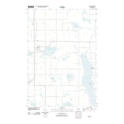 2010 Luck2010 Print · USGSLuck and its surrounding lake country are shown at the start of the 2010s, centered on the historic Gandy Dancer Trl corridor. Genealogists and local historians can locate Saint Peters Cemetery, the Sherwood-Ryan Flowage G4559 Dam, and Bald Eagle Island on Bone Lake.
 - 2013 Map of Balsam Lake, 2013 Print
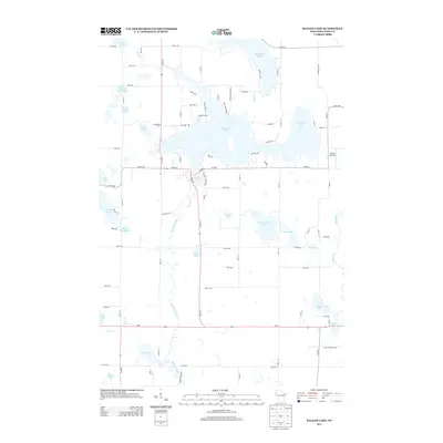 2013 Balsam Lake2013 Print · USGSPolk County lake country is captured here in the early twenty-first century, centered on the village of Balsam Lake. Genealogists and historians can trace shoreline roads and landmarks like the Romeo Airstrip, Mill Pond, and Lykens Lake.
 - 2013 Map of Big Round Lake, 2013 Print
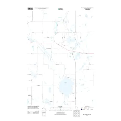 2013 Big Round Lake2013 Print · USGSPolk County's lake-rich landscape is captured here in the early twenty-first century. Researchers can trace the path of the Ice Age National Scenic Trail as it winds past Big Round Lake and the banks of the Clam River.
 - 2013 Map of Range, 2013 Print
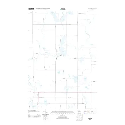 2013 Range2013 Print · USGSPolk County's lake country is captured here during the early 2010s, showing a rural landscape defined by the winding Apple River. Researchers can trace old property access and shoreline details along Big Blake Lake, White Ash Lake, and the Apple River Flowage 134.
Showing maps 1-25 of 38
Top cities near Georgetown
- Amery historical maps
- Town of Lincoln historical maps
- Frederic historical maps
- Luck historical maps
- Balsam Lake historical maps
- Centuria historical maps
See more
Top neighborhoods of Georgetown
Frequently asked questions
- What are the different types of historical maps available for Georgetown?
- What is the oldest map of Georgetown?
- Where can I purchase historical maps of Georgetown for my home or office?
- Where can I download high-res historical maps of Georgetown?
- Are there historical topographic maps available for Georgetown?
- Is there historical aerial imagery available for Georgetown?
- Where are historical maps of Georgetown sourced from?