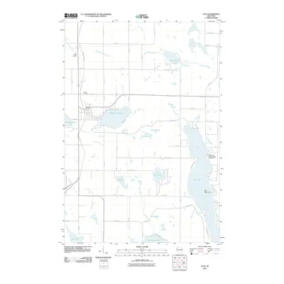
2010 Map of Luck
USGS Topo · Published 2010About this map
The village of Luck serves as the central hub of this northern Wisconsin landscape, situated along the Gandy Dancer Trl, a notable recreational path following a historical rail corridor. The area is defined by a dense concentration of glacial lakes, including the sprawling Bone Lake to the east and Big Butternut Lake adjacent to the town site. For family historians, Saint Peters Cemetery and Lawson Cemetery provide important points of reference for early settlement patterns.
Find a feature on this map
59 named features on this map. Tap any name to fly to it.
Don’t see what you’re looking for? This feature index may not catch every label — zoom into the map to look around manually.
Map Details
Editions of this 2010 Luck Map
This is the sole edition of this map. No revisions or reprints were ever made.
Other maps of this area

1900 · St Croix Dalles
USGS Topo · 1:62,500

1901 · St Croix Dalles
USGS Topo · 1:62,500

1950 · Balsam Lake
USGS Topo · 1:62,500

1951 · Milltown
USGS Topo · 1:48,000

1951 · Frederic
USGS Topo · 1:48,000

1953 · Stillwater
USGS Topo · 1:250,000

1955 · St. Croix Dalles
USGS Topo · 1:62,500

1955 · Frederic
USGS Topo · 1:62,500

1955 · Milltown
USGS Topo · 1:62,500

1955 · Stillwater
USGS Topo · 1:250,000