2000s (21st Century) Maps of Alban, Wisconsin
Explore 20 historic maps of Alban from the 2000s (21st Century). These maps offer a rare glimpse into what life looked like during the 2000s — showing old roads, neighborhoods, homes, and landmarks that have changed or disappeared over time.
Whether you're researching your family's past, planning a metal detecting trip, or studying how Alban's landscape evolved across the 2000s, these high-resolution maps are a powerful tool for exploring the history of this region.
- Focus on a specific era: All maps on this page are from the 2000s, giving you a focused view of this time period.
- See what’s changed: Compare century-old streets, trails, and buildings to today's modern landscape using overlays and satellite layers.
- Research with precision: Use these maps for genealogy, historical research, land use analysis, or educational projects.
- View, download, or print: Maps are fully viewable online in high resolution, and can be downloaded or printed for your own records.
Start exploring Alban's history through authentic maps from the 2000s. This is your window into the past.
Alban, WI maps
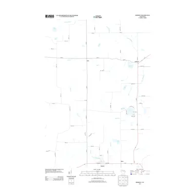
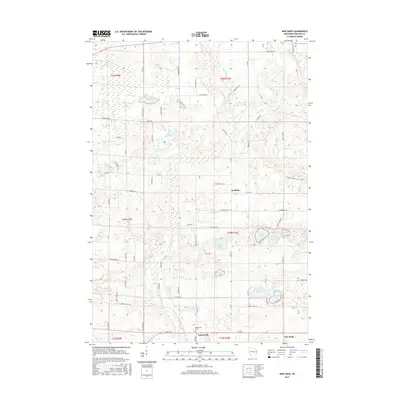
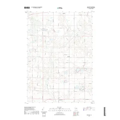
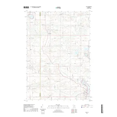
(20)- 2010 Map of Iola, 2010 Print
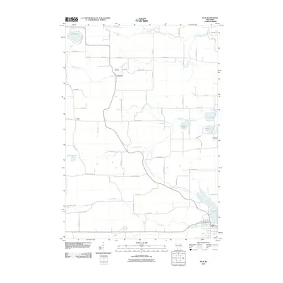 2010 Iola2010 Print · USGSCovers Alban, including Iola, Harrison, and other nearby areas
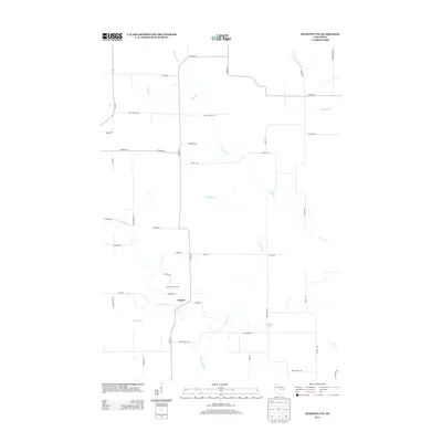
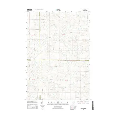
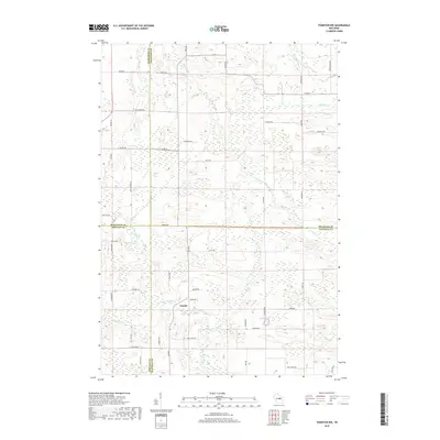
 - 2010 Map of Tigerton NW, 2010 Print
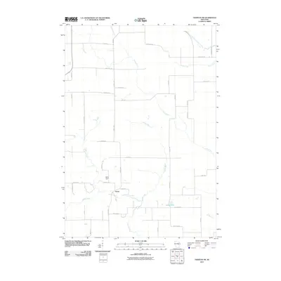 2010 Tigerton NW2010 Print · USGSCovers Alban, including Harrison, Germania, and other nearby areas
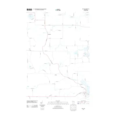
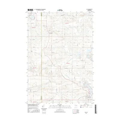
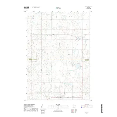
 - 2010 Map of Rosholt, 2010 Print
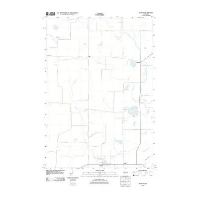 2010 Rosholt2010 Print · USGSCovers Alban, including Rosholt, Bevent, and other nearby areas
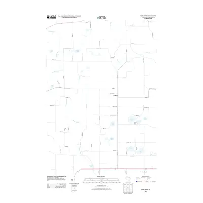
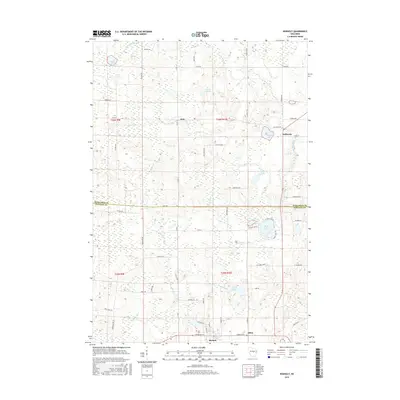
 - 2010 Map of New Hope, 2010 Print
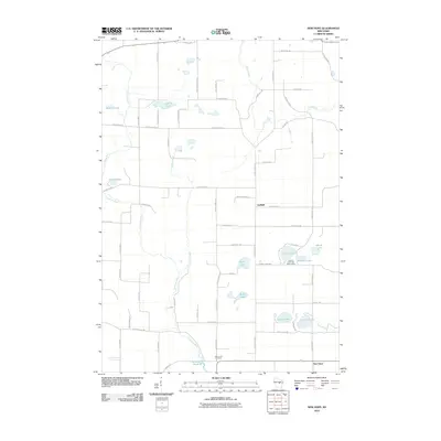 2010 New Hope2010 Print · USGSCovers Alban, including Stockton, Rosholt, and other nearby areas
 - 2013 Map of Rosholt, 2013 Print
 2013 Rosholt2013 Print · USGSCovers Alban, including Rosholt, Bevent, and other nearby areas
 - 2013 Map of Tigerton NW, 2013 Print
 2013 Tigerton NW2013 Print · USGSCovers Alban, including Harrison, Germania, and other nearby areas
 - 2013 Map of New Hope, 2013 Print
 2013 New Hope2013 Print · USGSCovers Alban, including Stockton, Rosholt, and other nearby areas
 - 2013 Map of Iola, 2013 Print
 2013 Iola2013 Print · USGSCovers Alban, including Iola, Harrison, and other nearby areas
 - 2015 Map of New Hope, 2015 Print
 2015 New Hope2015 Print · USGSCovers Alban, including Stockton, Rosholt, and other nearby areas
 - 2015 Map of Tigerton NW, 2015 Print
 2015 Tigerton NW2015 Print · USGSCovers Alban, including Harrison, Germania, and other nearby areas
 - 2015 Map of Iola, 2015 Print
 2015 Iola2015 Print · USGSCovers Alban, including Iola, Harrison, and other nearby areas
 - 2015 Map of Rosholt, 2015 Print
 2015 Rosholt2015 Print · USGSCovers Alban, including Rosholt, Bevent, and other nearby areas
 - 2018 Map of New Hope, 2018 Print
 2018 New Hope2018 Print · USGSCovers Alban, including Stockton, Rosholt, and other nearby areas
 - 2018 Map of Rosholt, 2018 Print
 2018 Rosholt2018 Print · USGSCovers Alban, including Rosholt, Bevent, and other nearby areas
 - 2018 Map of Tigerton NW, 2018 Print
 2018 Tigerton NW2018 Print · USGSCovers Alban, including Harrison, Germania, and other nearby areas
 - 2018 Map of Iola, 2018 Print
 2018 Iola2018 Print · USGSCovers Alban, including Iola, Harrison, and other nearby areas
 - 2022 Map of Iola, 2022 Print
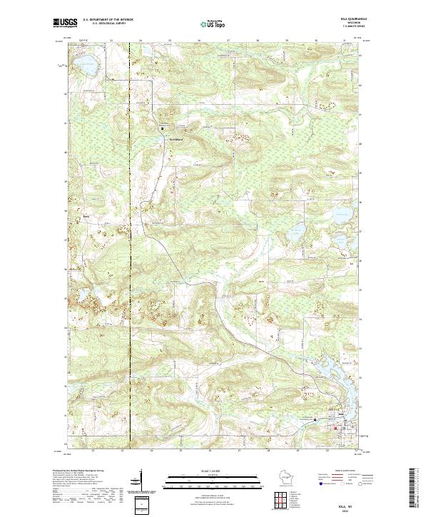 2022 Iola2022 Print · USGSWaupaca County's glacial landscape is meticulously detailed in the early 2020s, showing the settled townships surrounding Iola. Researchers can trace old family footprints through sites like Hitterdahl Lutheran Cem and Northland, or follow the banks of the Little Wolf River.
 - 2022 Map of Tigerton NW, 2022 Print
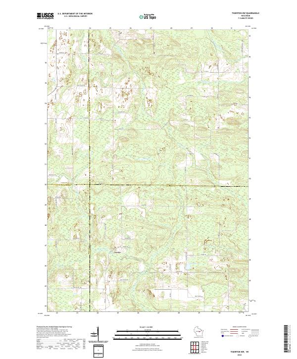 2022 Tigerton NW2022 Print · USGSWisconsin's rural heartland is mapped here in 2022, where four counties meet near the crossroads of Norske. Researchers can trace the winding paths of the Little Wolf River and the S Br Embarrass River past local landmarks like Jackson Lake.
 - 2022 Map of New Hope, 2022 Print
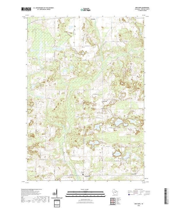 2022 New Hope2022 Print · USGSPortage County's rural character remains centered on small junctions and glacial waters in this recent survey. Genealogists and local historians can trace family-named sites like Maple Ridge and find the Nelsonville Lutheran Cem near Nelsonville.
 - 2022 Map of Rosholt, 2022 Print
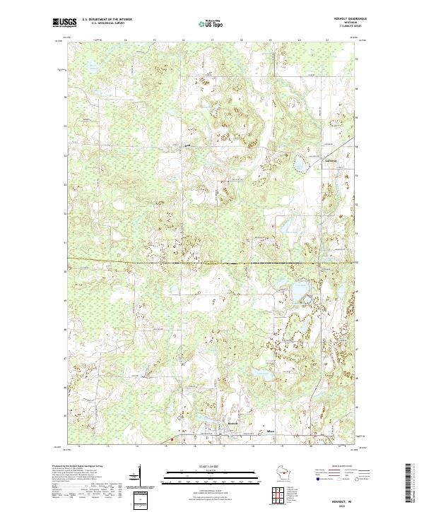 2022 Rosholt2022 Print · USGSPortage and Marathon Counties are shown here in the early 2020s, a landscape defined by glacial lakes and small rural crossroads. Genealogists and locals can trace the development around Rosholt, Galloway, and the waters of Tree Lake and the Little Wolf River.
End of results
Showing maps 1-20 of 20
Top cities near Alban
- Stevens Point historical maps
- Weston historical maps
- Plover historical maps
- Kronenwetter historical maps
- Stockton historical maps
- Ringle historical maps
See more
Frequently asked questions
- What are the different types of historical maps available for Alban?
- What is the oldest map of Alban?
- Where can I purchase historical maps of Alban for my home or office?
- Where can I download high-res historical maps of Alban?
- Are there historical topographic maps available for Alban?
- Is there historical aerial imagery available for Alban?
- Where are historical maps of Alban sourced from?