Old Maps of Alban, Wisconsin for Metal Detecting
Plan your next treasure hunt with 28 historic maps of Alban. Find old homesites, ghost towns, trails, and gathering spots that may be lost to time — perfect for identifying promising metal detecting locations.
- Locate forgotten sites: Uncover places like long-lost settlements, abandoned rail lines, or gathering spots.
- Plan better hunts: Use map overlays combined with LiDAR or satellite views to narrow in on historically rich areas.
- Made for detectorists: Thousands of hobbyists use these maps to discover relics, coins, and hidden history.
Use these historic maps to boost your research and find new opportunities beneath the surface of Alban.
Alban, WI maps
(28)- 1955 Map of Tigerton, 1957 Print
 1955 Tigerton1957 Print · USGSThe rural borderlands of Shawano and Waupaca Counties come alive in the mid-1950s, showing a landscape of small schools and river-fed mill towns. Genealogists can trace family landmarks like Alban Chapel, the Hitterdahl Ch, and old rural schoolhouses including Selmer Sch.2 unique versions available
 - 1955 Map of Rosholt, 1957 Print
 1955 Rosholt1957 Print · USGSPortage County’s rural landscape comes alive in the mid-fifties, showing the intersection of rail transport and small-town commerce. Researchers can trace family roots at St Marys Ch, locate vanished schoolhouses like Oakland Sch, or explore the rail corridor near Nelsonville.2 unique versions available
 - 1955 Map of Green Bay, 1968 Print
 1955 Green Bay1968 Print · USGSCentral and Eastern Wisconsin are captured here in the mid-fifties, showing the industrial growth of the Fox Valley and Wisconsin River corridors. Genealogists and historians can trace rail lines like the Green Bay and Western through settlements like Weyauwega, Clintonville, and Pulaski.2 unique versions available
 - 1969 Map of Rosholt, 1972 Print
 1969 Rosholt1972 Print · USGSCentral Wisconsin's glaciated landscape is shown here in the late sixties, capturing the rural communities and lake-rich terrain of Portage County. Genealogists can trace family footprints near Rosholt, the Old Railroad Grade, and the small settlement of Galloway.2 unique versions available
 - 1969 Map of New Hope, 1972 Print
 1969 New Hope1972 Print · USGSPortage County at the end of the sixties is a landscape of glacial lakes and tight-knit rural communities. Genealogists and local historians can trace the foundations of the area through landmarks like North New Hope Ch, Nelsonville Cem, and the St Adalbert Sch.2 unique versions available
 - 1970 Map of Tigerton NW, 1973 Print
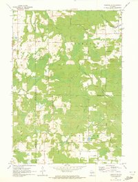 1970 Tigerton NW1973 Print · USGSNorth-central Wisconsin in the 1970s shows a landscape of dense water networks and forest land where four counties meet. Researchers can trace the OLD RAILROAD GRADE near Jackson Lake or locate the rural hub of Norske and its surrounding family-named roads.2 unique versions available
 - 1971 Map of Iola, 1973 Print
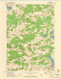 1971 Iola1973 Print · USGSIola and its rural surroundings in Portage and Waupaca counties are shown here just after the turn of the 1970s. Researchers can trace the Old Railroad Grade near Iola Lake, find the Hitterdahl Cem, or locate the Ski Jump near Griffin.2 unique versions available
 - 1984 Map of Wausau, 1990 Print
 1984 Wausau1990 Print · USGSMarathon and Portage counties come into focus during the mid-eighties as industrial river towns and sprawling conservation areas define the Central Wisconsin landscape. Researchers can trace the rail corridors of the Soo Line or locate rural landmarks like Rib Mountain State Park and St Marys Cem.
 - 2010 Map of Iola, 2010 Print
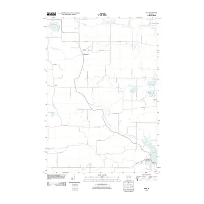 2010 Iola2010 Print · USGSWaupaca County's glacial lakes and rural settlements are shown here as they appeared in the early 2000s. Researchers can locate family landmarks like the Hitterdahl Cemetery, the old community of Northland, and the historic Iola 1870C480 Dam at Iola Lake.
 - 2010 Map of Tigerton NW, 2010 Print
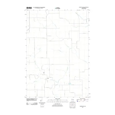 2010 Tigerton NW2010 Print · USGSPortage County at the start of the 2010s reveals a persistent agricultural landscape shaped by the Little Wolf River. Genealogists and local historians can trace family-named routes like Rekowski Rd near the settlement of Norske and the Grove Terrace Farm.
 - 2010 Map of Rosholt, 2010 Print
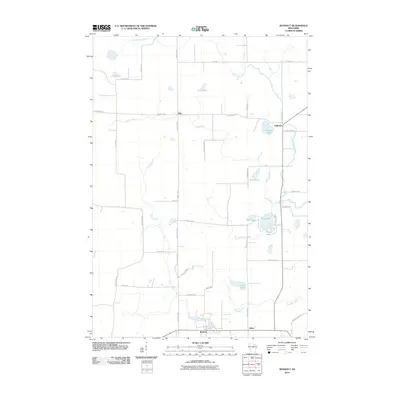 2010 Rosholt2010 Print · USGSPortage County at the start of the 2010s reveals a landscape of quiet glacial lakes and rural settlements. Researchers can trace the waterways of the Little Wolf River or locate family properties near Lions Lake, Galloway, and Rosholt.
 - 2010 Map of New Hope, 2010 Print
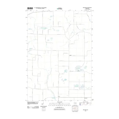 2010 New Hope2010 Print · USGSPortage County’s lake country is captured here during the first decade of the millennium, showing a landscape of scattered farmsteads and glacial waters. Researchers can locate Nelsonville Cemetery, the Chick-A-Gami Bay Scout Camp, and the winding path of the Tomorrow River.
 - 2013 Map of Rosholt, 2013 Print
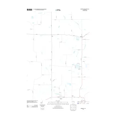 2013 Rosholt2013 Print · USGSPortage County at the start of the 2010s shows a landscape of glacial lakes and river headwaters. Genealogists and local historians can trace the rural layout of Galloway, Holt, and Alban, alongside the banks of the Little Wolf River.
 - 2013 Map of Tigerton NW, 2013 Print
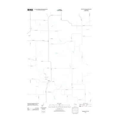 2013 Tigerton NW2013 Print · USGSPortage County at the start of the 2010s reveals a quiet agricultural landscape defined by its river headwaters. Researchers can trace rural family roots and property lines near Norske, Grove Terrace Farm, and the banks of the Little Wolf River.
 - 2013 Map of New Hope, 2013 Print
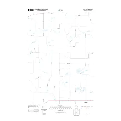 2013 New Hope2013 Print · USGSPortage County at the start of the 2010s shows a landscape defined by glacial lakes and winding waterways. Genealogists and local historians can trace family-named roads like Koziczkowski Ln and find landmarks such as the Chick-A-Gami Bay Scout Camp and Garfield.
 - 2013 Map of Iola, 2013 Print
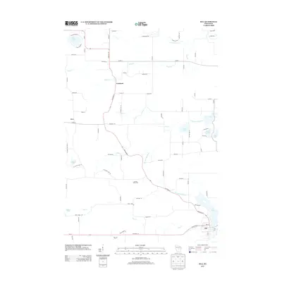 2013 Iola2013 Print · USGSWaupaca County's glacial landscape is captured here in the early 21st century, centered on the village of Iola and its surrounding lake country. Genealogists and local historians can trace family locations near Northland, Honkens Hilltop Farm, and along the banks of the S Br Little Wolf River.
 - 2015 Map of New Hope, 2015 Print
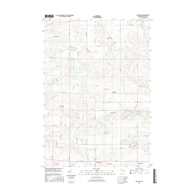 2015 New Hope2015 Print · USGSPortage County’s glacial landscape is captured here in the mid-2010s, showing a region defined by its dense lake clusters and the winding Tomorrow River. Local historians can trace the roads connecting Nelsonville, Garfield, and the Nelsonville Cem.
 - 2015 Map of Tigerton NW, 2015 Print
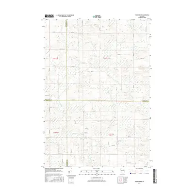 2015 Tigerton NW2015 Print · USGSIn the mid-2010s, this central Wisconsin borderland remained a landscape of scattered rural homesteads and winding creeks. Genealogists can trace the rural roads near Norske or locate family landmarks along the Little Wolf River and Jackson Lake.
 - 2015 Map of Iola, 2015 Print
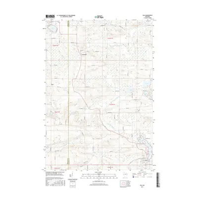 2015 Iola2015 Print · USGSWaupaca County's rural landscape is captured here in the mid-2010s, centered on the community of Iola and its namesake lake. Genealogists and local historians can trace family locations near Northland, Peru, and the Hitterdahl Cem or along the Little Wolf River.
 - 2015 Map of Rosholt, 2015 Print
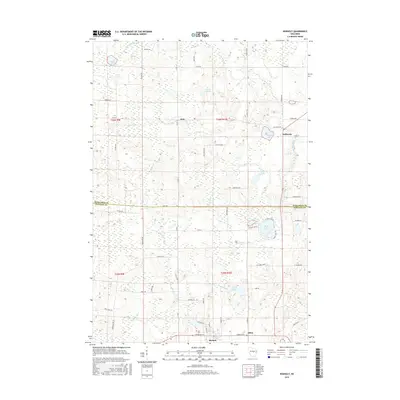 2015 Rosholt2015 Print · USGSPortage County and the Marathon County border are captured here in the mid-2010s, showing a landscape defined by glacial lakes and rural townships. Researchers can trace family-named roads and small communities like Galloway or explore the wetlands around Penny Lake and Lions Lake.
 - 2018 Map of New Hope, 2018 Print
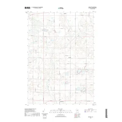 2018 New Hope2018 Print · USGSPortage County at the dawn of the twenty-first century reveals a landscape of glacial lakes and small rural settlements. Genealogists and local historians can trace the foundations of Nelsonville and New Hope, or locate family sites near Nelsonville Cem and Collins Lake.
 - 2018 Map of Rosholt, 2018 Print
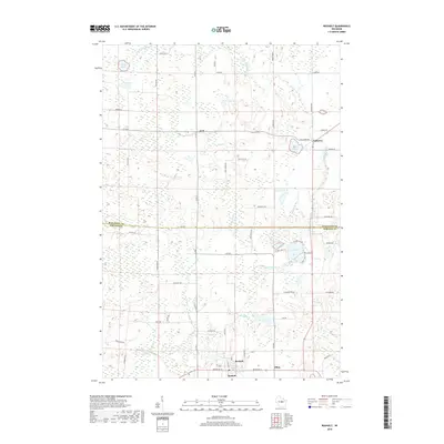 2018 Rosholt2018 Print · USGSPortage County farm and lake country comes to life in the late 2010s near the Marathon County line. Trace the local geography of rural settlements like Rosholt, Galloway, and Holt, alongside numerous glacial features like Lions Lake and the Little Wolf River.
 - 2018 Map of Tigerton NW, 2018 Print
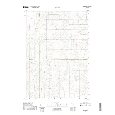 2018 Tigerton NW2018 Print · USGSCentral Wisconsin's rural landscape is captured here in the late twenty-teens, where the borders of four counties converge. Genealogists can trace family-named roads like Rekowski Rd and Kluck Rd near the settlement of Norske and the Little Wolf River.
 - 2018 Map of Iola, 2018 Print
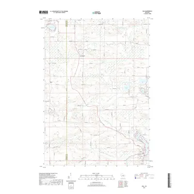 2018 Iola2018 Print · USGSWaupaca and Portage counties meet in this 2018 survey of a landscape shaped by the Little Wolf River and its many tributaries. Researchers can trace rural cemeteries like Northland Cem and Hitterdahl Cem or locate lakefront property on Lake Helen and Siemer Lake.
 - 2022 Map of Iola, 2022 Print
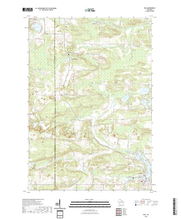 2022 Iola2022 Print · USGSWaupaca County's glacial landscape is meticulously detailed in the early 2020s, showing the settled townships surrounding Iola. Researchers can trace old family footprints through sites like Hitterdahl Lutheran Cem and Northland, or follow the banks of the Little Wolf River.
Showing maps 1-25 of 28
Top cities near Alban
- Stevens Point historical maps
- Weston historical maps
- Plover historical maps
- Kronenwetter historical maps
- Stockton historical maps
- Ringle historical maps
See more
Frequently asked questions
- What are the different types of historical maps available for Alban?
- What is the oldest map of Alban?
- Where can I purchase historical maps of Alban for my home or office?
- Where can I download high-res historical maps of Alban?
- Are there historical topographic maps available for Alban?
- Is there historical aerial imagery available for Alban?
- Where are historical maps of Alban sourced from?