Old Maps of Belmont, Wisconsin for Metal Detecting
Plan your next treasure hunt with 30 historic maps of Belmont. Find old homesites, ghost towns, trails, and gathering spots that may be lost to time — perfect for identifying promising metal detecting locations.
- Locate forgotten sites: Uncover places like long-lost settlements, abandoned rail lines, or gathering spots.
- Plan better hunts: Use map overlays combined with LiDAR or satellite views to narrow in on historically rich areas.
- Made for detectorists: Thousands of hobbyists use these maps to discover relics, coins, and hidden history.
Use these historic maps to boost your research and find new opportunities beneath the surface of Belmont.
Belmont, WI maps
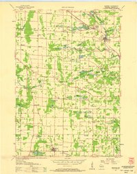
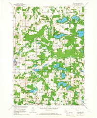
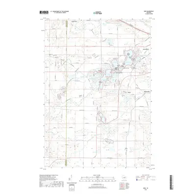
(30)- 1955 Map of Green Bay, 1968 Print
 1955 Green Bay1968 Print · USGSCentral and Eastern Wisconsin are captured here in the mid-fifties, showing the industrial growth of the Fox Valley and Wisconsin River corridors. Genealogists and historians can trace rail lines like the Green Bay and Western through settlements like Weyauwega, Clintonville, and Pulaski.2 unique versions available
 - 1957 Map of Amherst, 1959 Print
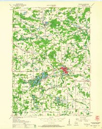
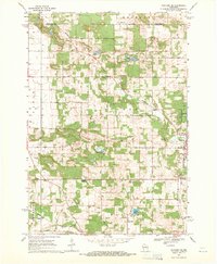
 1957 Amherst1959 Print · USGSPortage County at the end of the fifties is a landscape of intersecting railroads and rural school districts. Genealogists can trace family lines at Spiritland Cem or locate the site of the Lincoln Sch (Abandoned) near the Almond village limits.
 - 1957 Map of Waupaca, 1959 Print
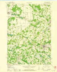
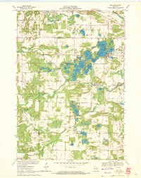
 1957 Waupaca1959 Print · USGSWaupaca and the famous Chain O' Lakes are captured in the late fifties, showing a landscape of small lakeside settlements and rural schoolhouses. Researchers can find Waupaca Boys Camp, trace the old Green Bay and Western line, or locate King and Rural.2 unique versions available
 - 1959 Map of Wautoma, 1961 Print
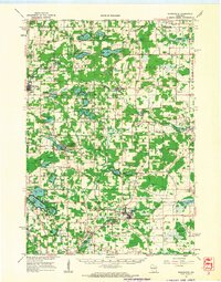
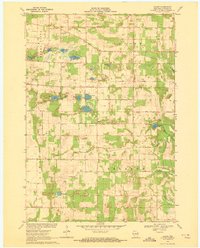
 1959 Wautoma1961 Print · USGSWaushara County in the late fifties shows a rural landscape defined by glacial lakes and a developing transportation network. Genealogists can trace family names through numerous sites like Richford Cem, West Holden Ch, and St Pauls Cem.
 - 1961 Map of Redgranite, 1963 Print
 1961 Redgranite1963 Print · USGSWaushara County’s kettle lake country is captured here in the early sixties, showing a landscape shaped by stone quarries and summer camps. Researchers can trace the Chicago and North Western rail line and find local landmarks like St Marks Cem and the Wild Rose State Fish Hatchery.2 unique versions available
 - 1961 Map of Wild Rose, 1966 Print
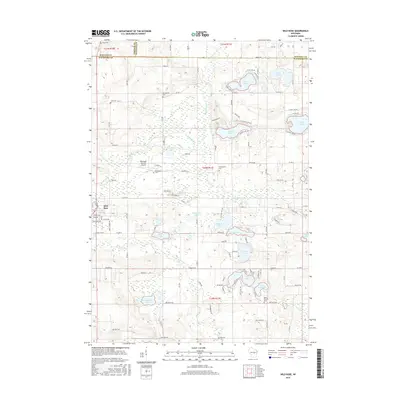
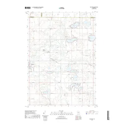
 1961 Wild Rose1966 Print · USGSThe village of Wild Rose and its lake-strewn surroundings are captured here in the early sixties before modern development reshaped the landscape. Researchers can locate family landmarks such as Springwater Cem, the Wild Rose State Fish Hatchery, and numerous summer camps like Camp Windego.2 unique versions available
 - 1968 Map of Wautoma NE, 1971 Print
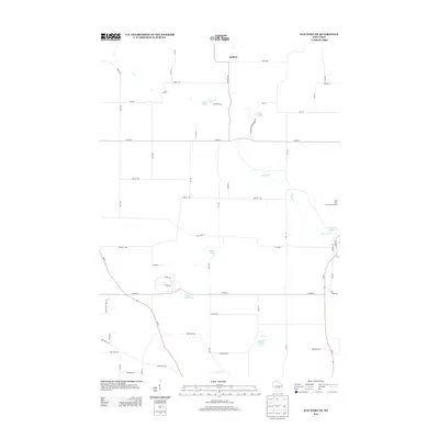
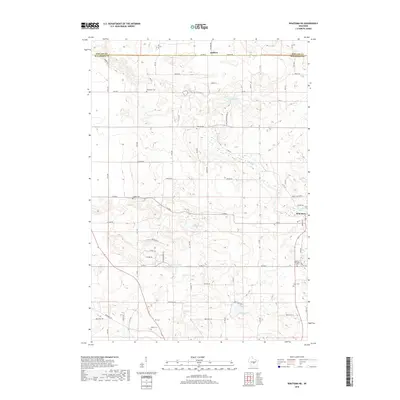
 1968 Wautoma NE1971 Print · USGSWaushara County during the late sixties shows a landscape of small farms and lakeside recreation centered around the Wild Rose village. Genealogists and local historians can trace rural family roots through sites like Bohemian Cem, West Holden Ch, and Union Cem.2 unique versions available
 - 1969 Map of King, 1972 Print
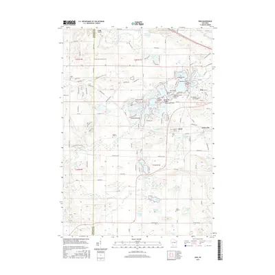
 1969 King1972 Print · USGSWaupaca County lake country is captured here in the late sixties, showing the intricate chain of lakes around the community of King. Genealogists and local historians can trace rural roots through Badger Ch, Barton Sch, and the Pleasant Valley Cem.2 unique versions available
 - 1969 Map of Blaine, 1972 Print
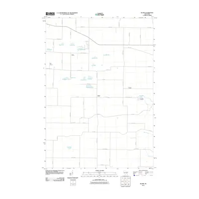
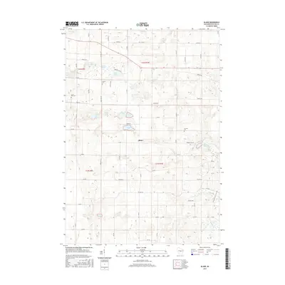
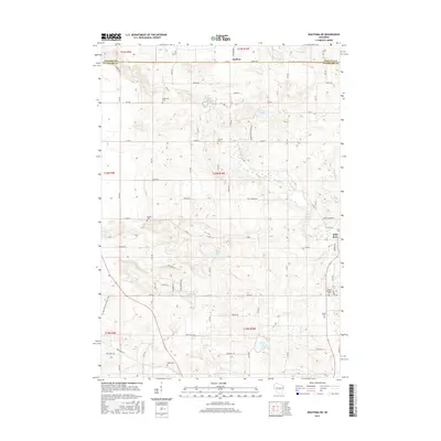
 1969 Blaine1972 Print · USGSPortage County at the close of the 1960s reveals a rural landscape defined by its glacial lakes and scattered farming communities. Genealogists and local historians can trace family locations near Blaine, St Patricks Ch, and the Hillside Cem.
 - 1985 Map of Wisconsin Rapids
 1985 Wisconsin Rapids1985 Print · USGSCentral Wisconsin in the mid-eighties shows a landscape of engineered waterways and active rail corridors between Wisconsin Rapids and Waupaca. Genealogists and researchers can trace local landmarks like Roche A Cri State Park, the SOO LINE, and small settlements like Coddington or Rudolph.2 unique versions available
 - 2010 Map of King, 2010 Print
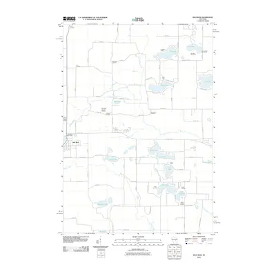
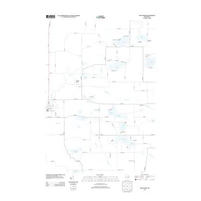
 2010 King2010 Print · USGSCovers Belmont, including Waupaca, Parfreyville, and other nearby areas
 - 2010 Map of Wild Rose, 2010 Print
 2010 Wild Rose2010 Print · USGSCovers Belmont, including Wild Rose, Saxeville, and other nearby areas
 - 2010 Map of Blaine, 2010 Print
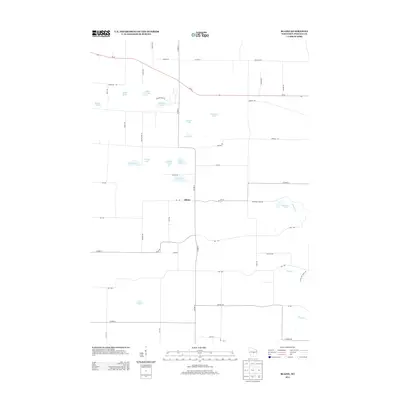
 2010 Blaine2010 Print · USGSCovers Belmont, including Blaine, Almond, and other nearby areas
 - 2010 Map of Wautoma NE, 2010 Print
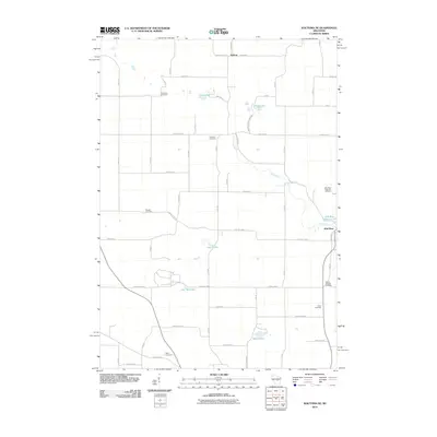 2010 Wautoma NE2010 Print · USGSCovers Belmont, including Wild Rose, Heffron, and other nearby areas
 - 2013 Map of Wautoma NE, 2013 Print
 2013 Wautoma NE2013 Print · USGSCovers Belmont, including Wild Rose, Heffron, and other nearby areas
 - 2013 Map of King, 2013 Print
 2013 King2013 Print · USGSCovers Belmont, including Waupaca, Parfreyville, and other nearby areas
 - 2013 Map of Wild Rose, 2013 Print
 2013 Wild Rose2013 Print · USGSCovers Belmont, including Wild Rose, Saxeville, and other nearby areas
 - 2013 Map of Blaine, 2013 Print
 2013 Blaine2013 Print · USGSCovers Belmont, including Blaine, Almond, and other nearby areas
 - 2015 Map of Wild Rose, 2015 Print
 2015 Wild Rose2015 Print · USGSCovers Belmont, including Wild Rose, Saxeville, and other nearby areas
 - 2015 Map of Blaine, 2015 Print
 2015 Blaine2015 Print · USGSCovers Belmont, including Blaine, Almond, and other nearby areas
 - 2015 Map of Wautoma NE, 2015 Print
 2015 Wautoma NE2015 Print · USGSCovers Belmont, including Wild Rose, Heffron, and other nearby areas
 - 2015 Map of King, 2015 Print
 2015 King2015 Print · USGSCovers Belmont, including Waupaca, Parfreyville, and other nearby areas
 - 2018 Map of Wild Rose, 2018 Print
 2018 Wild Rose2018 Print · USGSCovers Belmont, including Wild Rose, Saxeville, and other nearby areas
 - 2018 Map of Wautoma NE, 2018 Print
 2018 Wautoma NE2018 Print · USGSCovers Belmont, including Wild Rose, Heffron, and other nearby areas
 - 2018 Map of King, 2018 Print
 2018 King2018 Print · USGSCovers Belmont, including Waupaca, Parfreyville, and other nearby areas
Showing maps 1-25 of 30
Top cities near Belmont
- Stevens Point historical maps
- Plover historical maps
- Waupaca historical maps
- Stockton historical maps
- Wautoma historical maps
- Redgranite historical maps
See more
Top neighborhoods of Belmont
Frequently asked questions
- What are the different types of historical maps available for Belmont?
- What is the oldest map of Belmont?
- Where can I purchase historical maps of Belmont for my home or office?
- Where can I download high-res historical maps of Belmont?
- Are there historical topographic maps available for Belmont?
- Is there historical aerial imagery available for Belmont?
- Where are historical maps of Belmont sourced from?