Old Maps of Grant, Wisconsin for Metal Detecting
Plan your next treasure hunt with 40 historic maps of Grant. Find old homesites, ghost towns, trails, and gathering spots that may be lost to time — perfect for identifying promising metal detecting locations.
- Locate forgotten sites: Uncover places like long-lost settlements, abandoned rail lines, or gathering spots.
- Plan better hunts: Use map overlays combined with LiDAR or satellite views to narrow in on historically rich areas.
- Made for detectorists: Thousands of hobbyists use these maps to discover relics, coins, and hidden history.
Use these historic maps to boost your research and find new opportunities beneath the surface of Grant.
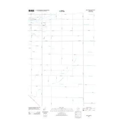
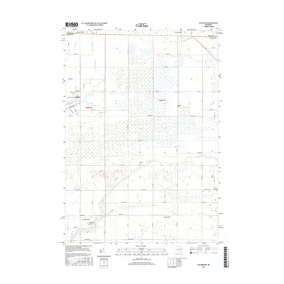
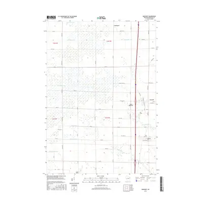
Grant, WI maps
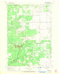
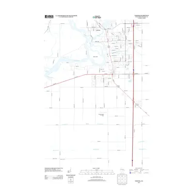
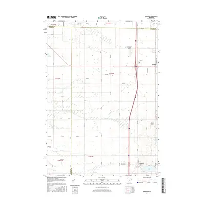
(40)- 1955 Map of Green Bay, 1968 Print
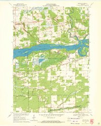
 1955 Green Bay1968 Print · USGSCentral and Eastern Wisconsin are captured here in the mid-fifties, showing the industrial growth of the Fox Valley and Wisconsin River corridors. Genealogists and historians can trace rail lines like the Green Bay and Western through settlements like Weyauwega, Clintonville, and Pulaski.2 unique versions available
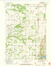
 - 1957 Map of Whiting, 1959 Print
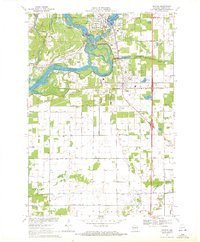
 1957 Whiting1959 Print · USGSCentral Wisconsin is captured here in the late fifties, showcasing the river-and-rail corridor connecting Whiting and Bancroft. Researchers can trace old rural schoolhouses like Pearl Sch and cemeteries such as McDill Cem across the Portage County landscape.
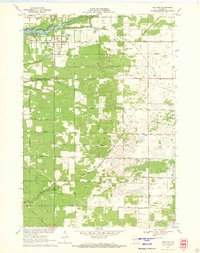
 - 1958 Map of Coloma, 1960 Print
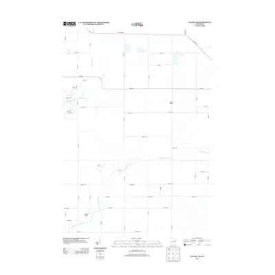
 1958 Coloma1960 Print · USGSThe Central Wisconsin sand plains are shown during the late 1950s as small towns like Plainfield and Coloma flourished along the Chicago and North Western rail line. Genealogists can locate rural schoolhouses such as Rathermel Sch and family landmarks like Owens Rock.
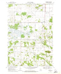
 - 1968 Map of Coloma NW, 1971 Print
 1968 Coloma NW1971 Print · USGSAdams County land and the Portage County line are shown here in the late sixties as the rural road grid matured. Genealogists and local historians can locate Holliday Cemetery, Coloma-Leola Cemetery, and landmarks like Owens Rock.2 unique versions available
 - 1968 Map of Hancock, 1971 Print
 1968 Hancock1971 Print · USGSCentral Wisconsin farmland at the close of the sixties reveals a detailed grid of rural life across the Adams and Waushara county line. Genealogists and local historians can trace the plots near Plainfield, locate the Plainfield Cemetery, and see the early layout of the Fish Hatchery.2 unique versions available
 - 1970 Map of Kellner, 1972 Print
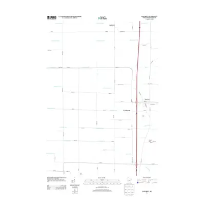
 1970 Kellner1972 Print · USGSThe rural border of Wood and Portage Counties was a landscape of managed waterways and rail lines in the 1970s. Genealogists and local historians can trace the community around Kellner, finding landmarks like St Johns Cem, Grant Sch, and the Church of God.
 - 1970 Map of Bancroft, 1972 Print
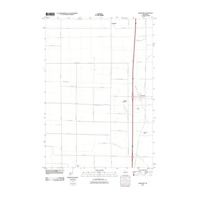
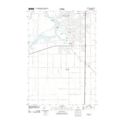
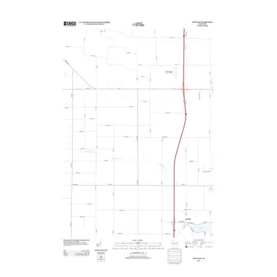
 1970 Bancroft1972 Print · USGSPortage County at the start of the seventies reveals a landscape of reclaimed marshlands and rail-dependent hamlets. Genealogists and local historians can trace the foundations of Bancroft and West Bancroft alongside landmarks like Mosquito Bluff and the Pine Grove Cem.2 unique versions available
 - 1970 Map of Meehan, 1972 Print
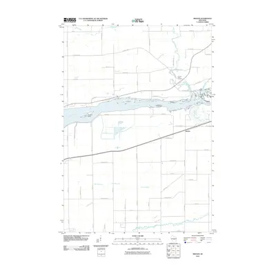
 1970 Meehan1972 Print · USGSPortage County at the start of the seventies reveals a landscape defined by the expansive Wisconsin River Flowage and specialized agriculture. Researchers can locate the settlement of Meehan, the Linwood Union Cem, and regional landmarks like the Cranberry Bog.2 unique versions available
 - 1970 Map of Whiting, 1972 Print
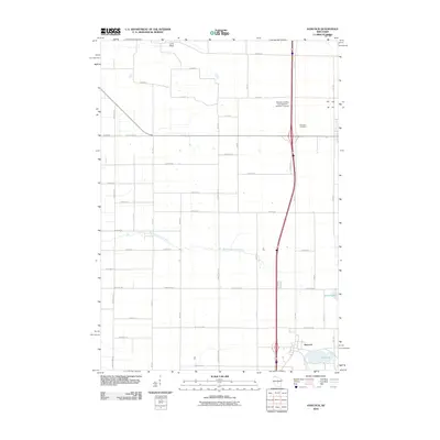
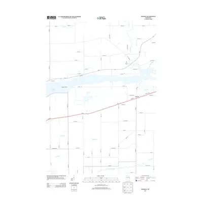
 1970 Whiting1972 Print · USGSPortage County at the start of the seventies shows a landscape defined by the winding Wisconsin River and the growing communities of Whiting and Plover. Researchers can trace old family sites near Maine Cem, St Bronislava, or the River Pines Sanatorium.2 unique versions available
 - 1985 Map of Wisconsin Rapids
 1985 Wisconsin Rapids1985 Print · USGSCentral Wisconsin in the mid-eighties shows a landscape of engineered waterways and active rail corridors between Wisconsin Rapids and Waupaca. Genealogists and researchers can trace local landmarks like Roche A Cri State Park, the SOO LINE, and small settlements like Coddington or Rudolph.2 unique versions available
 - 2010 Map of Coloma NW, 2010 Print
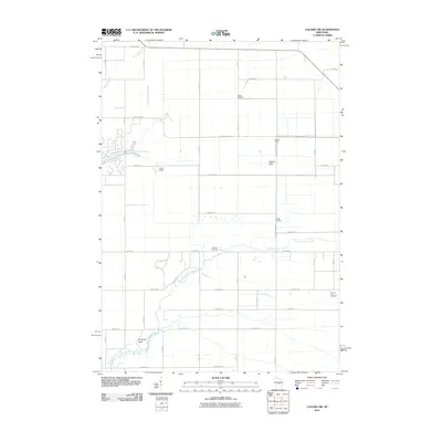 2010 Coloma NW2010 Print · USGSCovers Grant, including Big Flats, Saratoga, and other nearby areas
 - 2010 Map of Kellner, 2010 Print
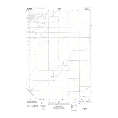 2010 Kellner2010 Print · USGSCovers Grant, including Saratoga, Kellner, and other nearby areas
 - 2010 Map of Bancroft, 2010 Print
 2010 Bancroft2010 Print · USGSCovers Grant, including Bancroft, Coddington, and other nearby areas
 - 2010 Map of Whiting, 2010 Print
 2010 Whiting2010 Print · USGSCovers Grant, including Stevens Point, Plover, and other nearby areas
 - 2010 Map of Meehan, 2010 Print
 2010 Meehan2010 Print · USGSCovers Grant, including Biron, Plover, and other nearby areas
 - 2010 Map of Hancock, 2010 Print
 2010 Hancock2010 Print · USGSCovers Grant, including Plainfield, Hancock, and other nearby areas
 - 2013 Map of Meehan, 2013 Print
 2013 Meehan2013 Print · USGSCovers Grant, including Biron, Plover, and other nearby areas
 - 2013 Map of Coloma NW, 2013 Print
 2013 Coloma NW2013 Print · USGSCovers Grant, including Big Flats, Saratoga, and other nearby areas
 - 2013 Map of Bancroft, 2013 Print
 2013 Bancroft2013 Print · USGSCovers Grant, including Bancroft, Coddington, and other nearby areas
 - 2013 Map of Hancock, 2013 Print
 2013 Hancock2013 Print · USGSCovers Grant, including Plainfield, Hancock, and other nearby areas
 - 2013 Map of Whiting, 2013 Print
 2013 Whiting2013 Print · USGSCovers Grant, including Stevens Point, Plover, and other nearby areas
 - 2013 Map of Kellner, 2013 Print
 2013 Kellner2013 Print · USGSCovers Grant, including Saratoga, Kellner, and other nearby areas
 - 2015 Map of Coloma NW, 2015 Print
 2015 Coloma NW2015 Print · USGSCovers Grant, including Big Flats, Saratoga, and other nearby areas
 - 2015 Map of Bancroft, 2015 Print
 2015 Bancroft2015 Print · USGSCovers Grant, including Bancroft, Coddington, and other nearby areas
 - 2015 Map of Hancock, 2015 Print
 2015 Hancock2015 Print · USGSCovers Grant, including Plainfield, Hancock, and other nearby areas
Showing maps 1-25 of 40
Top cities near Grant
- Stevens Point historical maps
- Wisconsin Rapids historical maps
- Plover historical maps
- Stockton historical maps
- Nekoosa historical maps
- Port Edwards historical maps
See more
Frequently asked questions
- What are the different types of historical maps available for Grant?
- What is the oldest map of Grant?
- Where can I purchase historical maps of Grant for my home or office?
- Where can I download high-res historical maps of Grant?
- Are there historical topographic maps available for Grant?
- Is there historical aerial imagery available for Grant?
- Where are historical maps of Grant sourced from?