2000s (21st Century) Maps of Elk, Wisconsin
Explore 15 historic maps of Elk from the 2000s (21st Century). These maps offer a rare glimpse into what life looked like during the 2000s — showing old roads, neighborhoods, homes, and landmarks that have changed or disappeared over time.
Whether you're researching your family's past, planning a metal detecting trip, or studying how Elk's landscape evolved across the 2000s, these high-resolution maps are a powerful tool for exploring the history of this region.
- Focus on a specific era: All maps on this page are from the 2000s, giving you a focused view of this time period.
- See what’s changed: Compare century-old streets, trails, and buildings to today's modern landscape using overlays and satellite layers.
- Research with precision: Use these maps for genealogy, historical research, land use analysis, or educational projects.
- View, download, or print: Maps are fully viewable online in high resolution, and can be downloaded or printed for your own records.
Start exploring Elk's history through authentic maps from the 2000s. This is your window into the past.
Elk, WI maps
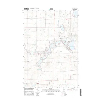
(15)- 2010 Map of Phillips, 2010 Print
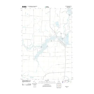 2010 Phillips2010 Print · USGSCovers Elk, including Phillips, Flambeau, and other nearby areas
 - 2010 Map of Lac Sault Dore, 2010 Print
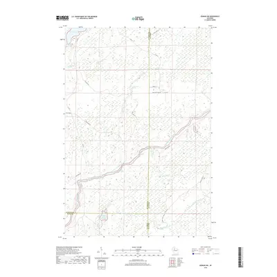
 2010 Lac Sault Dore2010 Print · USGSCovers Elk, including Flambeau, Georgetown, and other nearby areas
 - 2010 Map of Kennan NW, 2010 Print
 2010 Kennan NW2010 Print · USGSCovers Elk, including South Fork, Winter, and other nearby areas
 - 2013 Map of Phillips, 2013 Print
 2013 Phillips2013 Print · USGSCovers Elk, including Phillips, Flambeau, and other nearby areas
 - 2013 Map of Lac Sault Dore, 2013 Print
 2013 Lac Sault Dore2013 Print · USGSCovers Elk, including Flambeau, Georgetown, and other nearby areas
 - 2013 Map of Kennan NW, 2013 Print
 2013 Kennan NW2013 Print · USGSCovers Elk, including South Fork, Winter, and other nearby areas
 - 2015 Map of Kennan NW, 2015 Print
 2015 Kennan NW2015 Print · USGSCovers Elk, including South Fork, Winter, and other nearby areas
 - 2015 Map of Lac Sault Dore, 2015 Print
 2015 Lac Sault Dore2015 Print · USGSCovers Elk, including Flambeau, Georgetown, and other nearby areas
 - 2015 Map of Phillips, 2015 Print
 2015 Phillips2015 Print · USGSCovers Elk, including Phillips, Flambeau, and other nearby areas
 - 2018 Map of Phillips, 2018 Print
 2018 Phillips2018 Print · USGSCovers Elk, including Phillips, Flambeau, and other nearby areas
 - 2018 Map of Lac Sault Dore, 2018 Print
 2018 Lac Sault Dore2018 Print · USGSCovers Elk, including Flambeau, Georgetown, and other nearby areas
 - 2018 Map of Kennan NW, 2018 Print
 2018 Kennan NW2018 Print · USGSCovers Elk, including South Fork, Winter, and other nearby areas
 - 2022 Map of Lac Sault Dore, 2022 Print
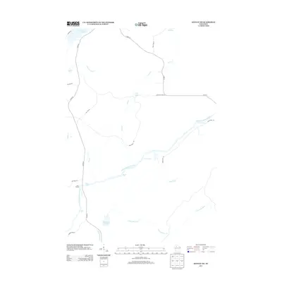
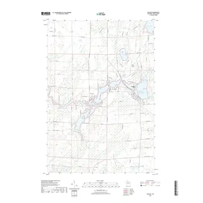
 2022 Lac Sault Dore2022 Print · USGSThe headwaters of the Elk River and the winding South Fork Flambeau River define this northern Wisconsin landscape in the 2020s. Genealogists can trace family heritage along Danish Settlement Rd or near the shores of Lac Sault Dore and Grassy Lake.
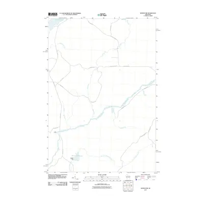
 - 2022 Map of Kennan NW, 2022 Print
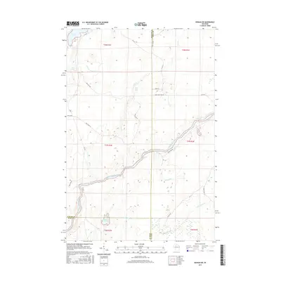
 2022 Kennan NW2022 Print · USGSThe borderlands of Sawyer, Price, and Rusk counties are revealed here in the early twenty-first century, centered on the wild South Fork Flambeau River. Trace the river's descent through Carpenters Rapids, Little Falls, and the remote Hines Grade logging route.
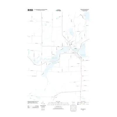
 - 2023 Map of Phillips, 2023 Print
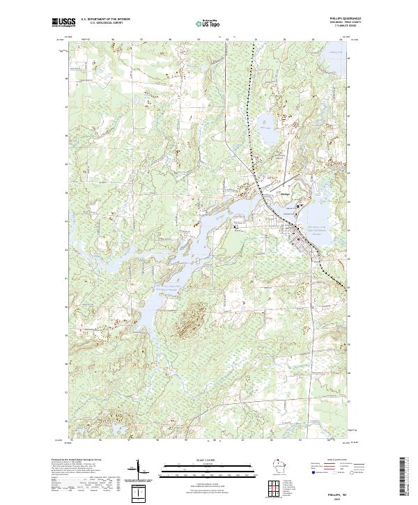 2023 Phillips2023 Print · USGSThe Northwoods city of Phillips and its surrounding lake country are documented here in the early twenty-first century. Researchers can trace local lineage at Saint Patrick Cem or Two Lakes Cem and locate landmarks like the Price County Courthouse.
End of results
Showing maps 1-15 of 15
Top cities near Elk
- Phillips historical maps
- Fifield historical maps
- Ogema historical maps
- Hawkins historical maps
- Draper historical maps
- Kennan historical maps
See more
Frequently asked questions
- What are the different types of historical maps available for Elk?
- What is the oldest map of Elk?
- Where can I purchase historical maps of Elk for my home or office?
- Where can I download high-res historical maps of Elk?
- Are there historical topographic maps available for Elk?
- Is there historical aerial imagery available for Elk?
- Where are historical maps of Elk sourced from?