Old Maps of Caledonia, Wisconsin for Metal Detecting
Plan your next treasure hunt with 18 historic maps of Caledonia. Find old homesites, ghost towns, trails, and gathering spots that may be lost to time — perfect for identifying promising metal detecting locations.
- Locate forgotten sites: Uncover places like long-lost settlements, abandoned rail lines, or gathering spots.
- Plan better hunts: Use map overlays combined with LiDAR or satellite views to narrow in on historically rich areas.
- Made for detectorists: Thousands of hobbyists use these maps to discover relics, coins, and hidden history.
Use these historic maps to boost your research and find new opportunities beneath the surface of Caledonia.
Caledonia, WI maps
(18)- 1891 Map of Bayview
 1891 Bayview1891 Print · USGSSouthern Wisconsin at the close of the nineteenth century reveals a landscape of burgeoning rail corridors and quiet farming townships along the Lake Michigan shore. Genealogists and local historians can trace early settlements like Paynesville, Caledonia, and Franksville.2 unique versions available
 - 1901 Map of Bayview
 1901 Bayview1901 Print · USGSThe Lake Michigan shoreline south of Milwaukee comes alive in the late Victorian era as industry and rail lines expand. Trace early coastal growth in Cudahy and South Milwaukee, or locate old interior settlements like New Coeln, Kilbournville, and Lamberton P.O..4 unique versions available
 - 1958 Map of Racine North, 1960 Print
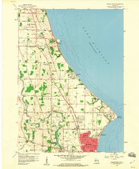 1958 Racine North1960 Print · USGSNear the Lake Michigan shore in the late fifties, the northern outskirts of Racine show a landscape of growing suburbs and enduring farmsteads. Genealogists can trace family names at St Matthews Cem or locate community centers like Scanlon Sch and Tabor.3 unique versions available
 - 1958 Map of South Milwaukee, 1960 Print
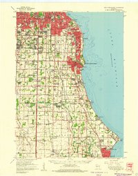 1958 South Milwaukee1960 Print · USGSCoastal Milwaukee County and northern Racine County show a landscape of rapid mid-century development and heavy industry along Lake Michigan. Researchers can trace the layout of family-named roads and rural schools like Caddy Vista Sch, alongside major landmarks like General Mitchell Field and Paynesville Chapel.2 unique versions available
 - 1958 Map of Franksville, 1960 Print
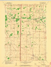 1958 Franksville1960 Print · USGSThe Racine-Milwaukee county line and the winding Root River meet here in the late fifties, showcasing a landscape of rural schoolhouses and rail lines. Genealogists and local historians can trace family roots at Paynesville Chapel, Independent Cem, or across the crossroads of Kilbournville and Husher.4 unique versions available
 - 1958 Map of Racine, 1971 Print
 1958 Racine1971 Print · USGSThe Lake Michigan shoreline in the late fifties was a study in contrasts between the industrial bustle of Kenosha and the quiet woods of the Allegan State Forest. Genealogists and historians can trace the urban footprint of Evanston or locate strategic sites like Fort Sheridan and the Wind Point Light.3 unique versions available
 - 1962 Map of Racine
 1962 Racine1962 Print · USGSThe Lake Michigan shoreline in the early sixties reveals a fascinating contrast between the dense industrial rail hubs of RACINE and CHICAGO and the forested dunes of Michigan. Local historians can trace military installations like Fort Sheridan or explore the numerous inland retreats around Paw Paw Lake and Sister Lakes.
 - 1980 Map of Racine, 1981 Print
 1980 Racine1981 Print · USGSThe Lake Michigan shoreline at the start of the 1980s reveals a bustling industrial corridor from Milwaukee to Kenosha. Genealogists and local historians can trace family roots through numerous sites like Forest Home Cem or locate former rail stops along the C & N W and C M St P & P lines.
 - 2010 Map of Franksville, 2010 Print
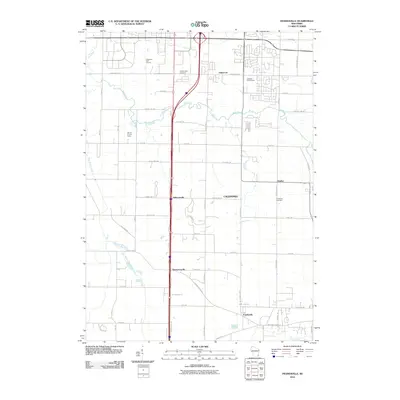 2010 Franksville2010 Print · USGSThe township of Caledonia is captured here in the early twenty-first century, showing the enduring footprints of small Wisconsin crossroads. Genealogists and local historians can trace the vicinity of Kilbournville, Thompsonville, and the Caledonia Cemetery.
 - 2010 Map of Racine North, 2010 Print
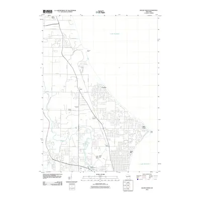 2010 Racine North2010 Print · USGSThe Lake Michigan shoreline north of Racine is captured here during a period of suburban growth and industrial continuity. Researchers can trace family sites through several burial grounds like Tabor Cemetery and Holy Cross Cemetery or locate landmarks such as Horlick Mill and Wind Point.
 - 2013 Map of Franksville, 2013 Print
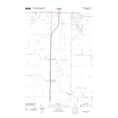 2013 Franksville2013 Print · USGSSoutheast Wisconsin's agrarian and suburban landscape is captured here in the early 2010s as traditional crossroads communities meet modern development. Researchers can trace local landmarks like Kilbournville and Thompsonville, or follow the Root River Canal through the heart of the region.
 - 2013 Map of Racine North, 2013 Print
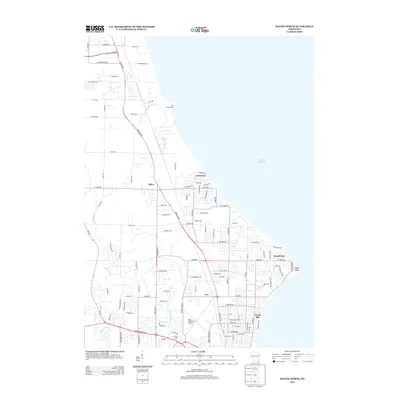 2013 Racine North2013 Print · USGSThe Lake Michigan coastline north of Racine is captured here in the early 21st century, showing a mix of established residential villages and industrial infrastructure. Researchers can trace the winding Root River to the historic Horlick Mill and locate regional landmarks like the John H Batten Airport.
 - 2016 Map of Franksville, 2016 Print
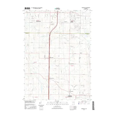 2016 Franksville2016 Print · USGSThe borderlands of Milwaukee and Racine counties are captured here in the mid-2010s as suburban growth reaches into historic farm townships. Local researchers can trace the landscape around Franksville and find historic sites like Independent Cem and Kilbournville.
 - 2016 Map of Racine North, 2016 Print
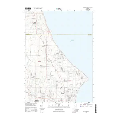 2016 Racine North2016 Print · USGSThe northern suburbs of Racine and the prominent Wind Point shoreline are captured here in the mid-2010s. Researchers can trace local history through sites like the Bohemian National Cem and the aviation grounds of John H Batten Airport.
 - 2018 Map of Racine North, 2018 Print
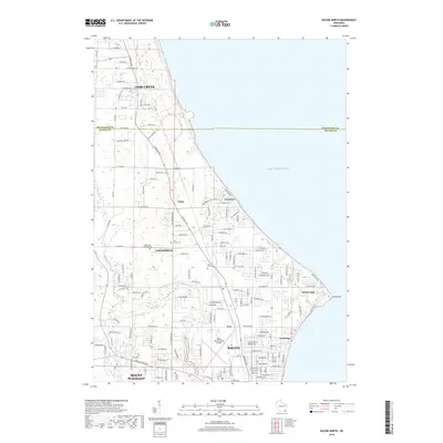 2018 Racine North2018 Print · USGSThe Lake Michigan shoreline north of Racine is captured here in the late twenty-teens, showing the established communities of Wind Point and North Bay. Researchers can trace the coastal layout near Batten International Airport and locate local landmarks like Bohemian National Cem and the Root River.
 - 2018 Map of Franksville, 2018 Print
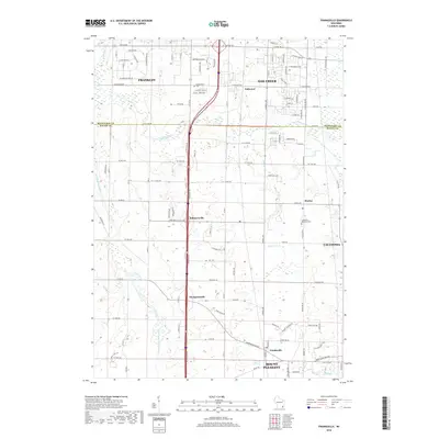 2018 Franksville2018 Print · USGSSoutheastern Wisconsin at the transition into the modern era shows a landscape of growing suburban centers and historic crossroad hamlets. Genealogists and local historians can trace family sites near Independent Cem or explore the early footprints of Kilbournville, Thompsonville, and Oakwood.
 - 2022 Map of Racine North, 2022 Print
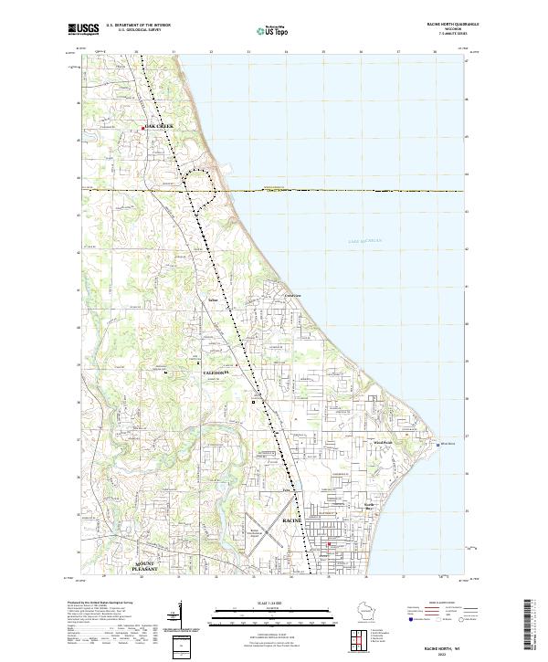 2022 Racine North2022 Print · USGSThe Lake Michigan shoreline and northern Racine suburbs come into focus during this era of late twentieth-century growth. Genealogists and historians can trace the footprints of Bohemian National Cem, Wind Point, and the busy corridors of Caledonia.
 - 2022 Map of Franksville, 2022 Print
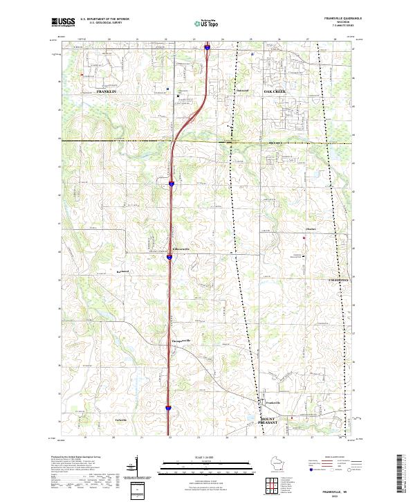 2022 Franksville2022 Print · USGSSoutheastern Wisconsin at the start of the 2020s shows the continued balance between agricultural roots and modern development across the Milwaukee Co Racine Co border. Researchers can map out local genealogy and property history near Franksville, Kilbournville, and the Independent Cem.
End of results
Showing maps 1-18 of 18
Top cities near Caledonia
- Milwaukee historical maps
- Kenosha historical maps
- Racine historical maps
- West Allis historical maps
- Brookfield historical maps
- New Berlin historical maps
See more
Top neighborhoods of Caledonia
- Franksville historical maps
- Husher historical maps
- Kilbournville historical maps
- Thompsonville historical maps
- Ives historical maps
- Tabor historical maps
See more
Frequently asked questions
- What are the different types of historical maps available for Caledonia?
- What is the oldest map of Caledonia?
- Where can I purchase historical maps of Caledonia for my home or office?
- Where can I download high-res historical maps of Caledonia?
- Are there historical topographic maps available for Caledonia?
- Is there historical aerial imagery available for Caledonia?
- Where are historical maps of Caledonia sourced from?