2000s (21st Century) Maps of Racine, Wisconsin
Explore 15 historic maps of Racine from the 2000s (21st Century). These maps offer a rare glimpse into what life looked like during the 2000s — showing old roads, neighborhoods, homes, and landmarks that have changed or disappeared over time.
Whether you're researching your family's past, planning a metal detecting trip, or studying how Racine's landscape evolved across the 2000s, these high-resolution maps are a powerful tool for exploring the history of this region.
- Focus on a specific era: All maps on this page are from the 2000s, giving you a focused view of this time period.
- See what’s changed: Compare century-old streets, trails, and buildings to today's modern landscape using overlays and satellite layers.
- Research with precision: Use these maps for genealogy, historical research, land use analysis, or educational projects.
- View, download, or print: Maps are fully viewable online in high resolution, and can be downloaded or printed for your own records.
Start exploring Racine's history through authentic maps from the 2000s. This is your window into the past.
Racine, WI maps
(15)- 2010 Map of Racine South, 2010 Print
 2010 Racine South2010 Print · USGSCovers Racine, including Kenosha, Mount Pleasant, and other nearby areas
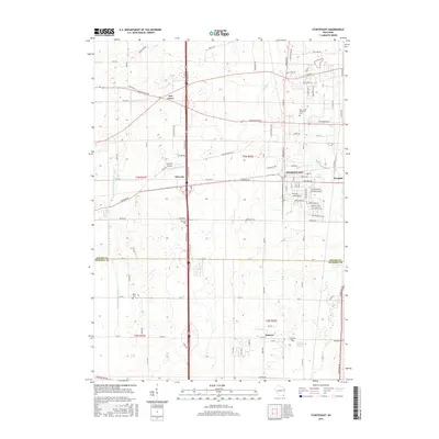
 - 2010 Map of Sturtevant, 2010 Print
 2010 Sturtevant2010 Print · USGSCovers Racine, including Mount Pleasant, Somers, and other nearby areas
 - 2010 Map of Racine North, 2010 Print
 2010 Racine North2010 Print · USGSCovers Racine, including Oak Creek, Mount Pleasant, and other nearby areas
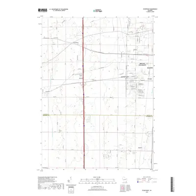
 - 2013 Map of Sturtevant, 2013 Print
 2013 Sturtevant2013 Print · USGSCovers Racine, including Mount Pleasant, Somers, and other nearby areas
 - 2013 Map of Racine South, 2013 Print
 2013 Racine South2013 Print · USGSCovers Racine, including Kenosha, Mount Pleasant, and other nearby areas
 - 2013 Map of Racine North, 2013 Print
 2013 Racine North2013 Print · USGSCovers Racine, including Oak Creek, Mount Pleasant, and other nearby areas
 - 2016 Map of Racine North, 2016 Print
 2016 Racine North2016 Print · USGSCovers Racine, including Oak Creek, Mount Pleasant, and other nearby areas
 - 2016 Map of Racine South, 2016 Print
 2016 Racine South2016 Print · USGSCovers Racine, including Kenosha, Mount Pleasant, and other nearby areas
 - 2016 Map of Sturtevant, 2016 Print
 2016 Sturtevant2016 Print · USGSCovers Racine, including Mount Pleasant, Somers, and other nearby areas
 - 2018 Map of Sturtevant, 2018 Print
 2018 Sturtevant2018 Print · USGSCovers Racine, including Mount Pleasant, Somers, and other nearby areas
 - 2018 Map of Racine North, 2018 Print
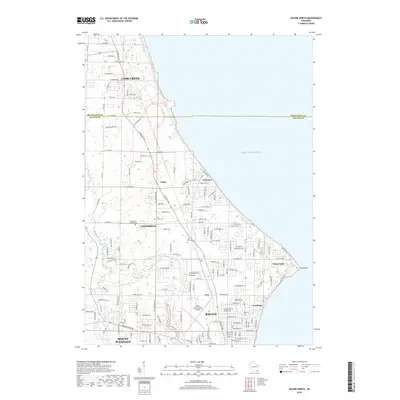 2018 Racine North2018 Print · USGSCovers Racine, including Oak Creek, Mount Pleasant, and other nearby areas
 - 2018 Map of Racine South, 2018 Print
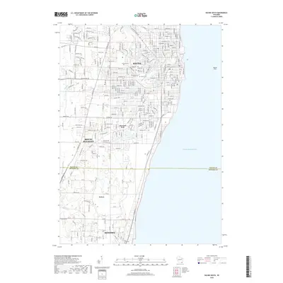 2018 Racine South2018 Print · USGSCovers Racine, including Kenosha, Mount Pleasant, and other nearby areas
 - 2022 Map of Sturtevant, 2022 Print
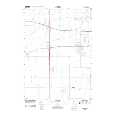
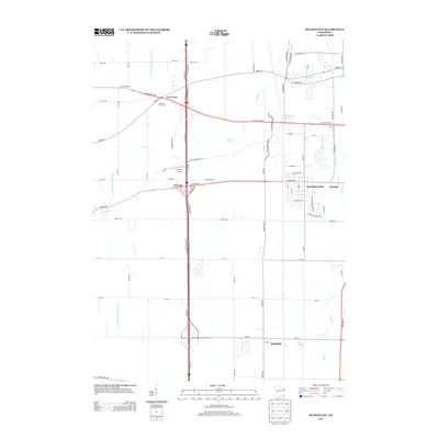
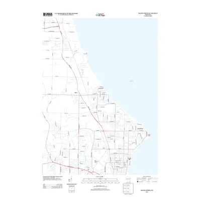
 2022 Sturtevant2022 Print · USGSSoutheast Wisconsin's transition from farmland to industrial hub is evident here in the early twenty-first century. Genealogists and local researchers can trace cemetery records at West Lawn Memorial Cem or locate the historic center of Sturtevant and the Sylvania Airport.
 - 2022 Map of Racine North, 2022 Print
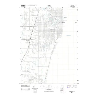
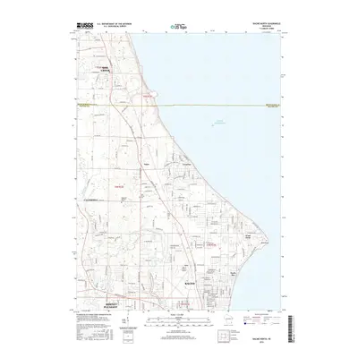
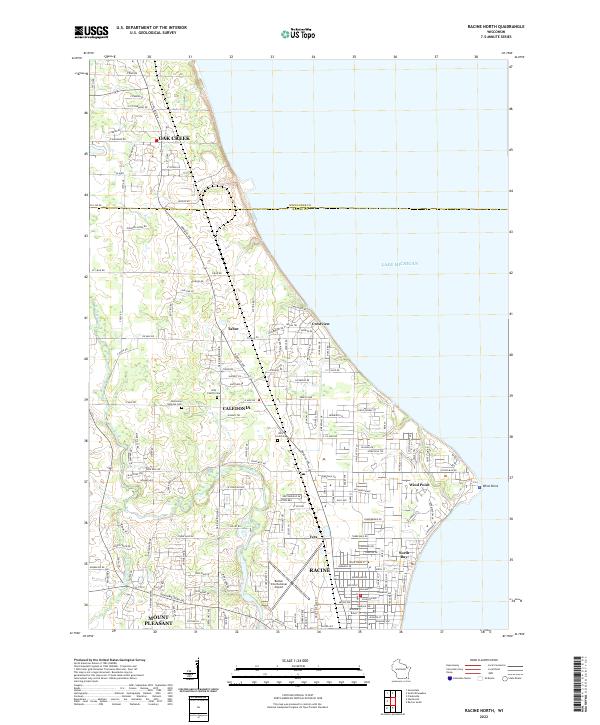 2022 Racine North2022 Print · USGSThe Lake Michigan shoreline and northern Racine suburbs come into focus during this era of late twentieth-century growth. Genealogists and historians can trace the footprints of Bohemian National Cem, Wind Point, and the busy corridors of Caledonia.
 - 2022 Map of Racine South, 2022 Print
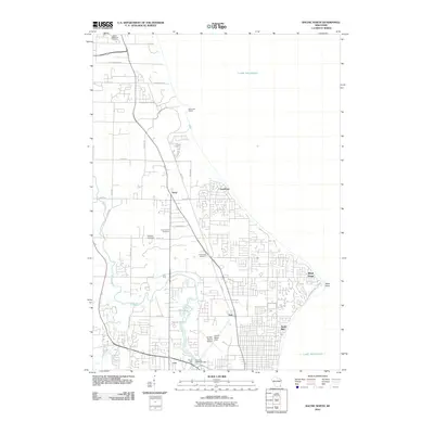
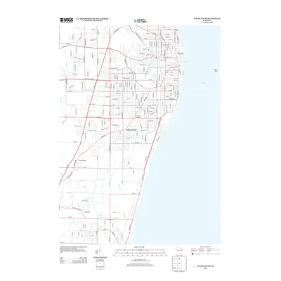
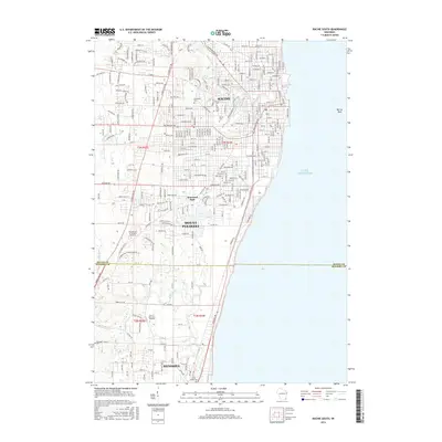
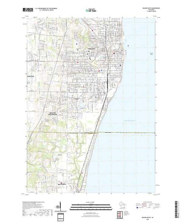 2022 Racine South2022 Print · USGSWisconsin's lakefront between Racine and Kenosha is captured here during a period of modern civic maturity. Genealogists and historians can trace the grounds of the Mound City Cem Soldiers Lot or the campus of the University of Wisconsin - Parkside.
End of results
Showing maps 1-15 of 15
Top cities near Racine
- Milwaukee historical maps
- Kenosha historical maps
- Franklin historical maps
- Greenfield historical maps
- Oak Creek historical maps
- Mount Pleasant historical maps
See more
Top neighborhoods of Racine
- West Racine historical maps
- Downtown historical maps
- Lincoln-King historical maps
- Towerview historical maps
- Uptown historical maps
- Rubbervile historical maps
Frequently asked questions
- What are the different types of historical maps available for Racine?
- What is the oldest map of Racine?
- Where can I purchase historical maps of Racine for my home or office?
- Where can I download high-res historical maps of Racine?
- Are there historical topographic maps available for Racine?
- Is there historical aerial imagery available for Racine?
- Where are historical maps of Racine sourced from?