2020s Maps of Orion, Wisconsin
Explore 4 historic maps of Orion from the 2020s. These maps offer a rare glimpse into what life looked like during the 2020s — showing old roads, neighborhoods, homes, and landmarks that have changed or disappeared over time.
Whether you're researching your family's past, planning a metal detecting trip, or studying how Orion's landscape evolved across the 2020s, these high-resolution maps are a powerful tool for exploring the history of this region.
- Focus on a specific era: All maps on this page are from the 2020s, giving you a focused view of this time period.
- See what’s changed: Compare century-old streets, trails, and buildings to today's modern landscape using overlays and satellite layers.
- Research with precision: Use these maps for genealogy, historical research, land use analysis, or educational projects.
- View, download, or print: Maps are fully viewable online in high resolution, and can be downloaded or printed for your own records.
Start exploring Orion's history through authentic maps from the 2020s. This is your window into the past.
Orion, WI maps
(4)- 2022 Map of Sextonville, 2022 Print
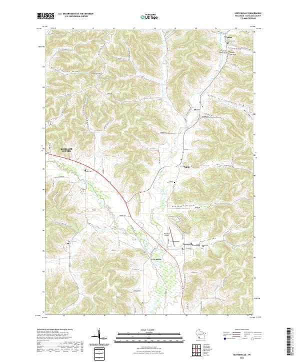 2022 Sextonville2022 Print · USGSSextonville and the Pine River valley are shown here in the early twenty-first century as the landscape continues to balance rural tradition with modern infrastructure. Researchers can locate several historic burial grounds like Sextonville Cem and unique geographical landmarks such as Elephant Trunk Rock.
 - 2022 Map of Avoca, 2022 Print
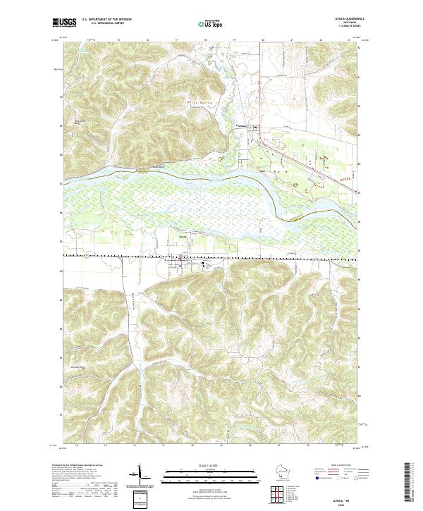 2022 Avoca2022 Print · USGSThe Wisconsin River valley and its flanking ridges define this region during the early 2020s. Genealogists and local historians can locate Avoca Cem and Saint Joseph's Cem, or trace the path of the Pine River as it meets the Wisconsin River.
 - 2022 Map of Richland Center, 2022 Print
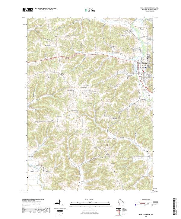 2022 Richland Center2022 Print · USGSRichland County at the start of the 2020s shows a landscape where the Pine River valley meets high ridges and deep hollows. Family history researchers can trace locations like Basswood, the Richland County Courthouse, and numerous rural sites such as Mayfield Cem.
 - 2022 Map of Muscoda, 2022 Print
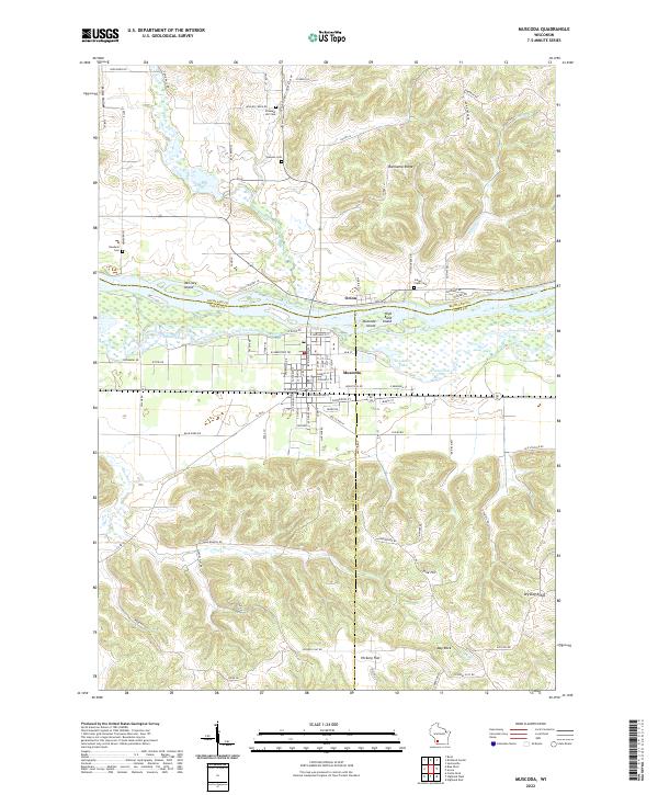 2022 Muscoda2022 Print · USGSThe Wisconsin River valley comes alive in this modern survey of the Muscoda area at the tri-county junction. Researchers can trace rural lineages through the Indian Creek Cem and Newburn Cem or explore the river's backwaters near Muscoda Island.
End of results
Showing maps 1-4 of 4
Top cities near Orion
- Richland Center historical maps
- Muscoda historical maps
- Lone Rock historical maps
- Highland historical maps
- Rockbridge historical maps
- Ithaca historical maps
See more
Top neighborhoods of Orion
Frequently asked questions
- What are the different types of historical maps available for Orion?
- What is the oldest map of Orion?
- Where can I purchase historical maps of Orion for my home or office?
- Where can I download high-res historical maps of Orion?
- Are there historical topographic maps available for Orion?
- Is there historical aerial imagery available for Orion?
- Where are historical maps of Orion sourced from?