2022 Map of Richland Center
USGS Topo · Published 2022About this map
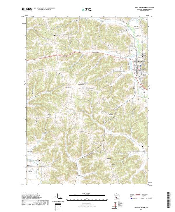
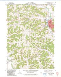
Richland Center serves as the focal point of this Wisconsin landscape, where the Pine River winds through the valley floor. The town's grid is anchored by the Richland County Courthouse and the academic grounds of the University of Wisconsin-Platteville Richland. Beyond the municipal center, the terrain is defined by a series of prominent ridges and hollows, including Chicken Ridge, Oak Ridge, and the winding Jarvis Valley.
Find a feature on this map
118 named features on this map. Tap any name to fly to it.
Don’t see what you’re looking for? This feature index may not catch every label — zoom into the map to look around manually.
Map Details
Editions of this 2022 Richland Center Map
This is the sole edition of this map. No revisions or reprints were ever made.
Historical Maps of Orion Through Time
13 maps found
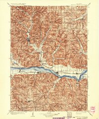
1905 Richland Center
Richland County, WI
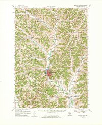
1960 Richland Center
Richland County, WI
1983 Gillingham
Richland County, WI
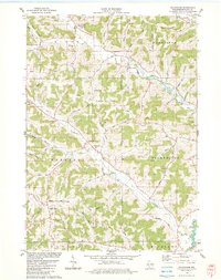
1983 Richland Center
Richland County, WI
1983 Rockbridge
Richland County, WI
1983 Sabin
Richland County, WI
1983 Valton
Richland County, WI

1985 Richland Center
Richland County, WI
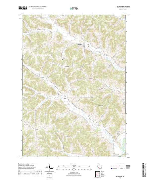
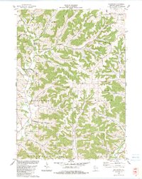
2022 Gillingham
Richland County, WI
2022 Richland Center
Richland County, WI
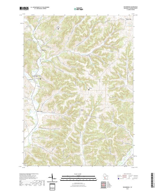
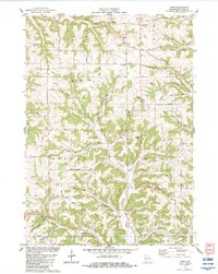
2022 Rockbridge
Richland County, WI
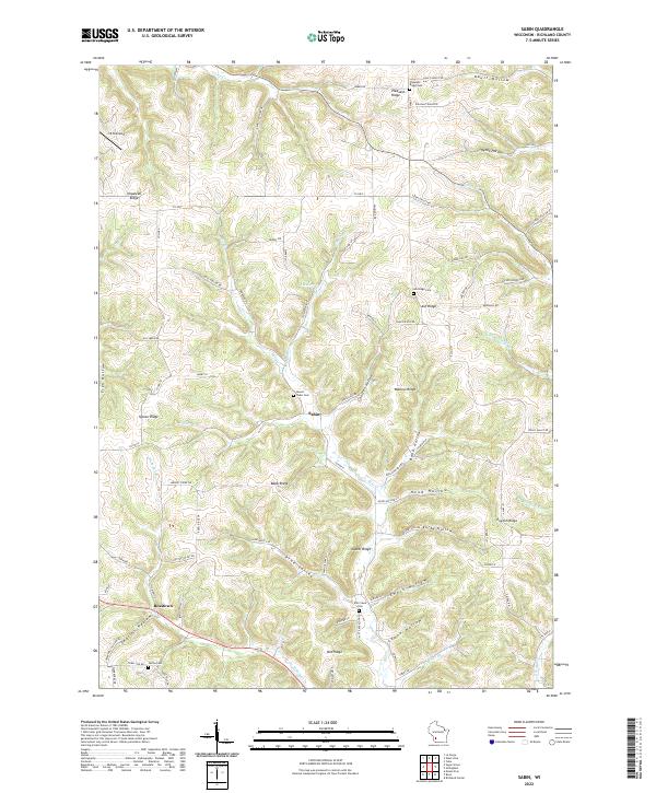
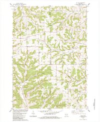
2022 Sabin
Richland County, WI
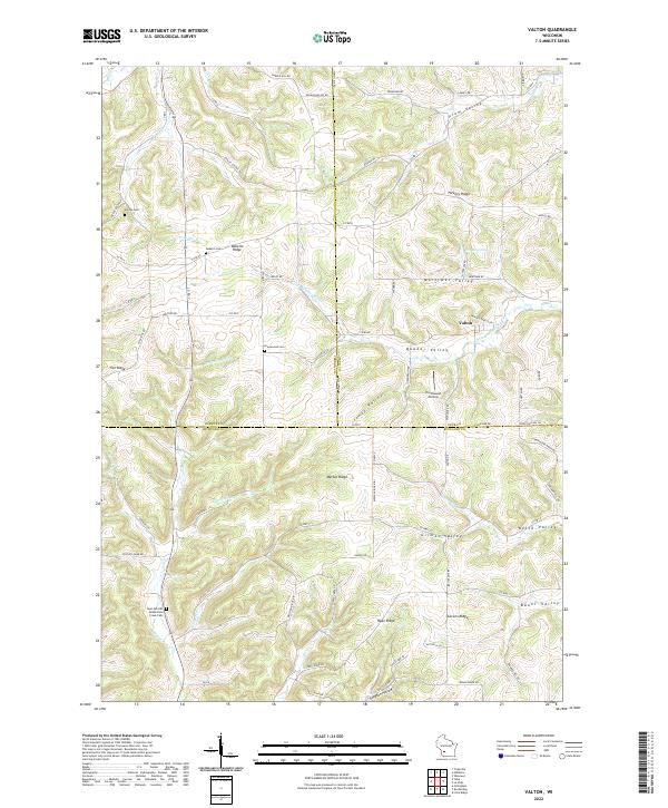
2022 Valton
Richland County, WI