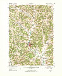
1960 Map of Richland Center
USGS Topo · Published 1983About this map
Richland Center serves as the focal point of this 1960 Wisconsin survey, where the Chicago Milwaukee St Paul and Pacific railroad tracks trace the course of the Pine River. This landscape is defined by its ridge-and-hollow topography, including named features like Horse Ridge and Hulster Ridge that separate the various branches of the river system. The map documents a dense network of rural infrastructure, from the County Fairground and Radio Tower (WRCO) near the city to the numerous district schools like Fiddlers Green Sch and Rocky Branch Sch tucked into the valleys.
Find a feature on this map
110 named features on this map. Tap any name to fly to it.
Don’t see what you’re looking for? This feature index may not catch every label — zoom into the map to look around manually.
Map Details
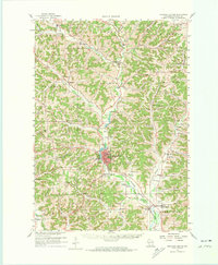
Editions of this 1960 Richland Center Map
3 editions found
Other maps of this area

1905 · Richland Center
USGS Topo · 1:125,000

1926 · La Farge
USGS Topo · 1:62,500

1927 · Hillsboro
USGS Topo · 1:62,500

1933 · Boaz
USGS Topo · 1:62,500

1933 · Boscobel
USGS Topo · 1:62,500

1956 · Reedsburg
USGS Topo · 1:62,500

1958 · La Crosse
USGS Topo · 1:250,000

1960 · Richland Center
USGS Topo · 1:62,500

1960 · Plain
USGS Topo · 1:62,500

1960 · Muscoda
USGS Topo · 1:62,500