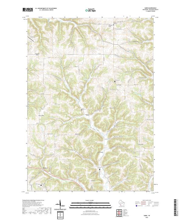
2022 Map of Sabin
USGS Topo · Published 2022About this map
Sabin and Bosstown anchor this Richland County landscape, where the terrain is defined by a dense network of ridges and hollows that historically dictated settlement patterns. The map highlights the agricultural and rural character of the region, specifically how roads like Co HWY I and Co HWY E trace the winding paths of the valleys. Genealogical interest is particularly strong here, with several well-placed burial grounds including Mount Tabor Cem, Ash Ridge Cem, and Mill Creek Cem serving as landmarks for long-established families.
Find a feature on this map
77 named features on this map. Tap any name to fly to it.
Don’t see what you’re looking for? This feature index may not catch every label — zoom into the map to look around manually.
Map Details
Editions of this 2022 Sabin Map
This is the sole edition of this map. No revisions or reprints were ever made.
Other maps of this area

1905 · Richland Center
USGS Topo · 1:125,000

1926 · La Farge
USGS Topo · 1:62,500

1927 · Hillsboro
USGS Topo · 1:62,500

1933 · Boaz
USGS Topo · 1:62,500

1958 · La Crosse
USGS Topo · 1:250,000

1960 · Richland Center
USGS Topo · 1:62,500

1961 · La Crosse
USGS Topo · 1:250,000

1965 · La Crosse
USGS Topo · 1:250,000

1965 · La Farge
USGS Topo · 1:62,500

1966 · Hillsboro
USGS Topo · 1:62,500