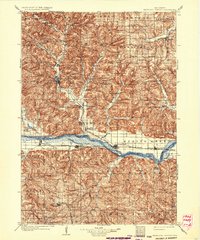
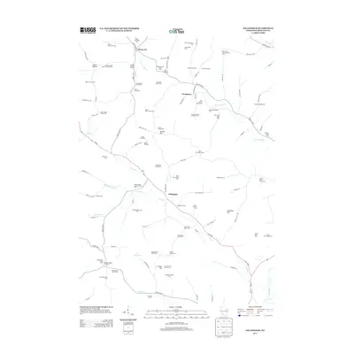
1905 Map of Richland Center
USGS Topo · Published 1934About this map
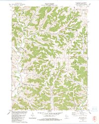
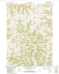
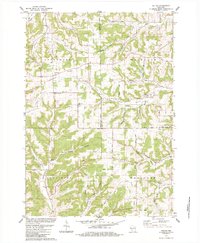
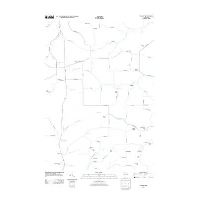
Richland Center serves as the focal point of this early twentieth-century landscape, where the northern Driftless Area topography transitions into the wide valley of the Wisconsin River. The river corridor acts as a primary artery for both commerce and transport, carrying the Chicago Milwaukee and St. Paul railroad through riverside towns like Muscoda, Avoca, and Spring Green. The map captures a transitional moment for rural mail delivery, specifically noting Gotham P.O. Richland City and Beach P.O., while the interior is dotted with numerous small crossroads such as Sextonville, Bear Valley, and Rockbridge. Steep-sided valleys carved by Willow Creek, Honey Creek, and the Pine River define the local settlement patterns, forcing roads and villages into the narrow corridors between high ridges and the distinct Twin Bluffs.
Find a feature on this map
86 named features on this map. Tap any name to fly to it.
Don’t see what you’re looking for? This feature index may not catch every label — zoom into the map to look around manually.
Map Details
Editions of this 1905 Richland Center Map
2 editions found

Historical Maps of Richland Center Through Time
33 maps found
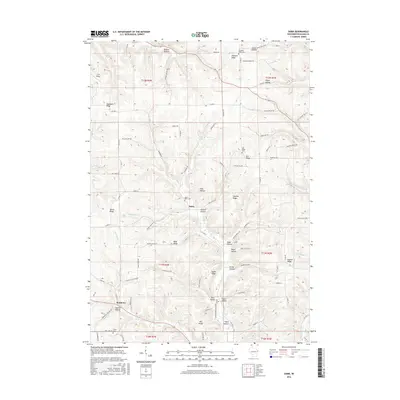
1905 Richland Center
Richland County, WI
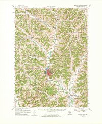
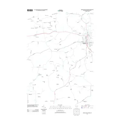
1960 Richland Center
Richland County, WI
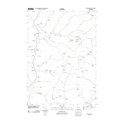
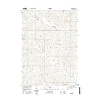
1983 Gillingham
Richland County, WI
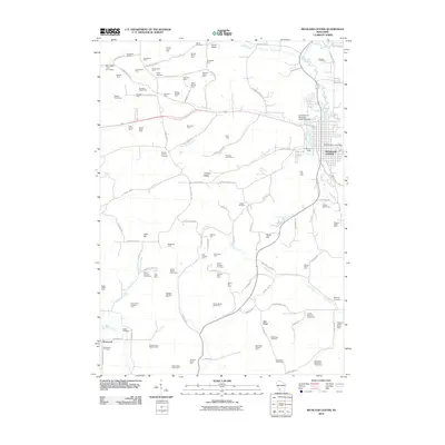
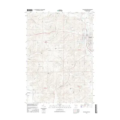
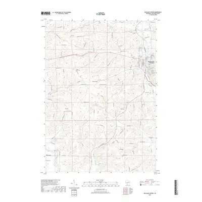
1983 Richland Center
Richland County, WI
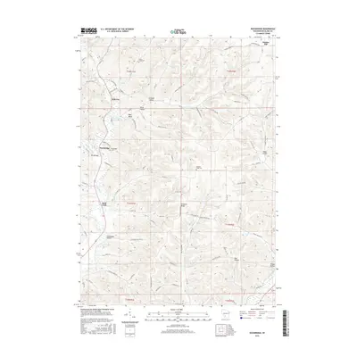
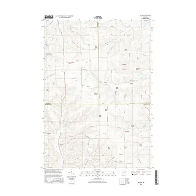
1983 Rockbridge
Richland County, WI
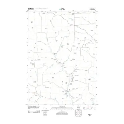
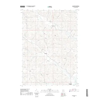
1983 Sabin
Richland County, WI
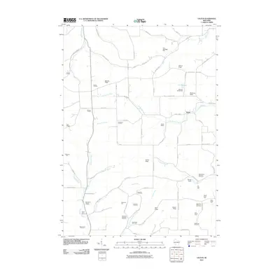
1983 Valton
Richland County, WI

1985 Richland Center
Richland County, WI
2010 Gillingham
Richland County, WI
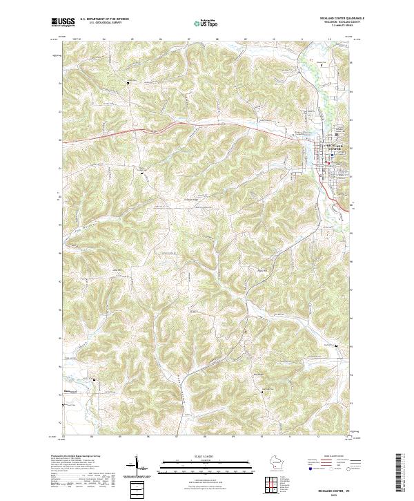
2010 Richland Center
Richland County, WI
2010 Rockbridge
Richland County, WI
2010 Sabin
Richland County, WI
2010 Valton
Richland County, WI
2013 Gillingham
Richland County, WI
2013 Richland Center
Richland County, WI
2013 Rockbridge
Richland County, WI
2013 Sabin
Richland County, WI
2013 Valton
Richland County, WI
2016 Gillingham
Richland County, WI
2016 Richland Center
Richland County, WI
2016 Rockbridge
Richland County, WI
2016 Sabin
Richland County, WI
2016 Valton
Richland County, WI
2018 Gillingham
Richland County, WI
2018 Richland Center
Richland County, WI
2018 Rockbridge
Richland County, WI
2018 Sabin
Richland County, WI
2018 Valton
Richland County, WI
2022 Gillingham
Richland County, WI
2022 Richland Center
Richland County, WI
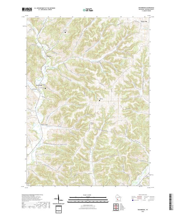
2022 Rockbridge
Richland County, WI
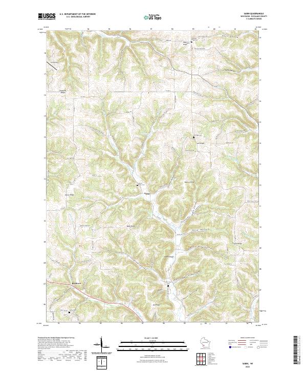
2022 Sabin
Richland County, WI
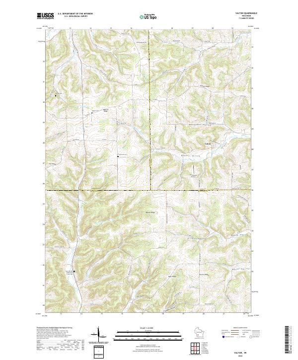
2022 Valton
Richland County, WI