Old Maps of Harmony, Wisconsin for Genealogy
Trace your family roots with 41 historic maps of Harmony. These high-res maps reveal old neighborhoods, homesites, landmarks, and streets — helping you uncover where your ancestors lived and how the area evolved over time.
- Explore historic neighborhoods: Identify where your relatives may have lived in the 1800s or 1900s.
- Compare maps over time: Trace the changes in streets, buildings, and landmarks for multi-generational research.
- Perfect for genealogy & ancestry research: Used by family historians and researchers to map out lineage and migration.
These maps are an incredible resource for exploring your personal connection to Harmony's past.
Harmony, WI maps
(41)- 1890 Map of Stoughton
 1890 Stoughton1890 Print · USGSSouthern Wisconsin during the 1890s shows a landscape of thriving river towns and expanding rail networks. Researchers can trace early family homesteads near Stebbinsville, Cooksville, and Fulton Center while following the historic route of the Chicago Milwaukee and St Paul Railroad.6 unique versions available
 - 1891 Map of Koshkonong
 1891 Koshkonong1891 Print · USGSJefferson County was an evolving hub of river power and rail transit in the 1890s. Researchers can trace the early footprints of Jefferson and Fort Atkinson or locate rural landmarks like Busseyville and Cold Spring.
 - 1891 Map of Janesville, 1956 Print
 1891 Janesville1956 Print · USGSThe Rock River corridor in the 1890s appears as a burgeoning industrial landscape anchored by the rail hubs of Janesville and Beloit. Genealogists and historians can trace old property sites near Hanover, Afton, and the early settlements of Stevens and Fellows.
 - 1893 Map of Janesville
 1893 Janesville1893 Print · USGSRock County at the close of the nineteenth century is a bustling hub of rail activity and river commerce. Genealogists and local historians can trace the early city footprints of Janesville and Beloit or locate vanished rural stops like Fellows and Stevens.4 unique versions available
 - 1893 Map of Shopiere
 1893 Shopiere1893 Print · USGSRock County's rural landscape is captured here in the 1890s, when steam rail dominated the local economy and travel. Genealogists and researchers can trace the early footprints of Clinton Junction, the winding path of Turtle Creek, and small rural centers like Emerald Grove.5 unique versions available
 - 1894 Map of Koshkonong
 1894 Koshkonong1894 Print · USGSSouthern Wisconsin at the end of the nineteenth century is defined by its glacial lakes and expanding rail networks. Genealogists can trace family footprints in Fort Atkinson and Milton Junction, or locate small settlements like Busseyville and Cold Spring.2 unique versions available
 - 1906 Map of Koshkonong
 1906 Koshkonong1906 Print · USGSSouthern Wisconsin at the turn of the century was a landscape of expanding rail junctions and river towns. Trace the early footprints of Fort Atkinson and Jefferson, or follow the rail lines connecting Milton Junction and Lima Center.3 unique versions available
 - 1954 Map of Rockford
 1954 Rockford1954 Print · USGSThe Rock River valley and the Illinois-Wisconsin borderlands are captured here in the mid-1950s during a period of robust industrial and agricultural activity. Genealogists and historians can trace rail-era corridors like the Illinois Central RR and locate landmarks from Big Foot Prairie to Lake Geneva.
 - 1955 Map of Rockford
 1955 Rockford1955 Print · USGSThe Rock River valley and southern Wisconsin dairy country are shown here in the mid-fifties as the region's manufacturing centers grew. Genealogists and historians can trace the paths of the Chicago and North Western RR and Illinois Central RR through hubs like Rockford and Beloit.
 - 1958 Map of Rockford, 1974 Print
 1958 Rockford1974 Print · USGSNorthern Illinois and southern Wisconsin are shown here in the mid-twentieth century as rail-dependent industrial towns began to interface with growing lakefront communities. Genealogists can trace family roots through settlements like Saylesville and Tess Corners or locate historical landmarks like the Rockford Ordnance Depot.4 unique versions available
 - 1961 Map of Fort Atkinson, 1963 Print
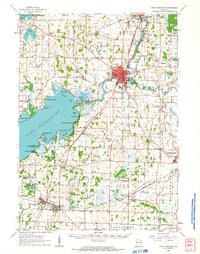 1961 Fort Atkinson1963 Print · USGSJefferson and Rock Counties come alive in the early 1960s, showing a landscape defined by the vast Lake Koshkonong and busy rail corridors. Genealogists can locate family names at Lakeview Cem or trace rural education at the Koshkonong Sch and Burr Oak Sch.2 unique versions available
 - 1961 Map of Stoughton, 1963 Print
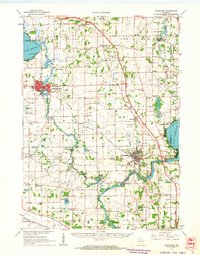 1961 Stoughton1963 Print · USGSDane and Rock Counties during the early sixties center on the tobacco-processing hubs of the Rock River valley. Genealogists and local researchers can trace family lands near Hanerville, identify remote schools like Bass Lake Sch, or locate historic burials at Jensen Cem and South Porter Cem.2 unique versions available
 - 1961 Map of Shopiere, 1964 Print
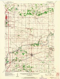 1961 Shopiere1964 Print · USGSSoutheast Rock County comes to life in the early sixties, showing the vital rail junctions and agricultural townships surrounding Shopiere. Genealogists can trace family roots through numerous sites like Mount Zion Cemetery, Bradford School, and the early Turtle Landing Field.2 unique versions available
 - 1961 Map of Janesville West, 1964 Print
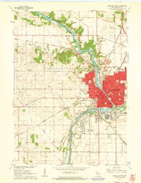 1961 Janesville West1964 Print · USGSJanesville at the start of the sixties is a bustling rail and river hub, captured here just as modern suburbs began to reach into Rock County. Genealogists and historians can trace family locations through numerous schools like Frances E Willard Sch and landmarks such as Pinehurst Sanatorium.3 unique versions available
 - 1961 Map of Milton, 1964 Print
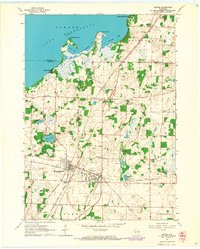 1961 Milton1964 Print · USGSMid-century Rock County reveals a landscape where rail commerce and rural education defined the community. Genealogists can trace family roots through several local landmarks like Otter Creek Cemetery and schools such as North Milton School and Koshkonong School.3 unique versions available
 - 1961 Map of Edgerton, 1964 Print
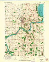 1961 Edgerton1964 Print · USGSThe tobacco-growing country around the Rock River and Edgerton is captured here during the early sixties. Genealogists and local historians can trace rural schoolhouses like Albion Sch, the rail lines of the Milwaukee Road, and landmarks like Joseph College.2 unique versions available
 - 1961 Map of Janesville East, 1964 Print
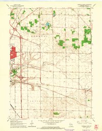 1961 Janesville East1964 Print · USGSJanesville and the surrounding Rock County townships show a vibrant mid-century mix of railroad industry and rural school districts. Genealogists and historians can trace family-named sites like Harmony Sch, find the Mount Zion Cem, and locate the old Drive-in Theater.3 unique versions available
 - 1962 Map of Janesville, 1964 Print
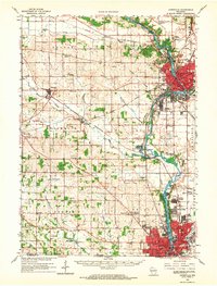 1962 Janesville1964 Print · USGSThe Rock River valley flourished in the early sixties as industrial centers like Janesville and Beloit expanded. Genealogists and local historians can trace rural roots through landmarks like Luther Valley Ch, Newark Cem, and the vanished schoolhouses of Plymouth township.
 - 1963 Map of Rockford
 1963 Rockford1963 Print · USGSThe mid-century industrial corridor along the Rock River is shown here during a period of rapid post-war growth. Researchers can trace the extensive rail lines of the Chicago and North Western or locate local landmarks like the Rockford Ordnance Depot and Holy Hill.
 - 1980 Map of Lake Geneva, 1981 Print
 1980 Lake Geneva1981 Print · USGSSoutheastern Wisconsin at the start of the eighties reveals a landscape of glacial moraines and established lakefront resorts. Researchers can trace historic rail lines like the Chicago and North Western RR or locate landmarks such as Yerkes Observatory and East Lawn Cem.
 - 1981 Map of Monroe
 1981 Monroe1981 Print · USGSSouthern Wisconsin and the Illinois borderlands come into focus in the early 1980s, showcasing a landscape defined by dairy farming and river valleys. Genealogists can trace family roots through historic hubs like Monroe, Stoughton, and Brodhead, or locate regional landmarks such as Yellowstone Lake and the Sugar River.
 - 2010 Map of Janesville West, 2010 Print
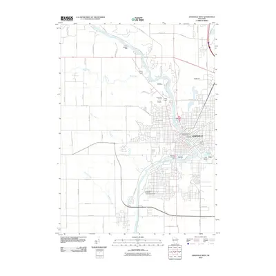 2010 Janesville West2010 Print · USGSJanesville at the start of the 2010s shows a thriving riverfront city where historic infrastructure meets modern development. Researchers can trace local landmarks like the Monterey Laws1848 Dam, Archies Seaplane Base, and the Mount Olivet Cemetery.
 - 2010 Map of Janesville East, 2010 Print
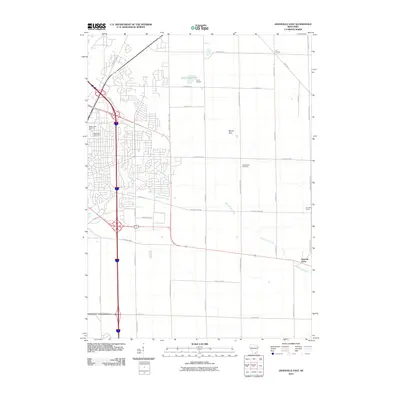 2010 Janesville East2010 Print · USGSEastern Janesville and the surrounding Rock County countryside are captured here during a period of suburban growth and agricultural stability. Genealogists and local historians can locate Mount Zion Cemetery, the crossroads at Six Corners, and the historic settlement of Emerald Grove.
 - 2010 Map of Milton, 2010 Print
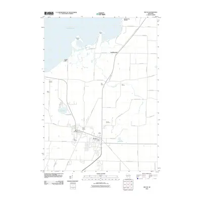 2010 Milton2010 Print · USGSMilton and its rail-history counterpart at the junction appear in the early twenty-first century as the local landscape balances village growth with its lakefront heritage. Researchers can trace family plots across five local burial grounds, including Saint Marys Cemetery and Rock River Cemetery, or locate the historic Koshkonong Mounds.
 - 2010 Map of Edgerton, 2010 Print
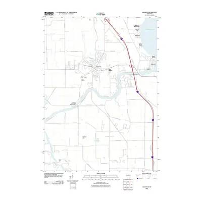 2010 Edgerton2010 Print · USGSThe Rock River corridor and the shores of Lake Koshkonong are captured here during the first decade of the 21st century. Researchers can locate family burial plots at Saint Joseph Cemetery and Jenson Cemetery or trace the river to the Indianford WD-60 Dam.
Showing maps 1-25 of 41
Top cities near Harmony
- Janesville historical maps
- Beloit historical maps
- Fort Atkinson historical maps
- Whitewater historical maps
- Milton historical maps
- South Beloit historical maps
See more
Frequently asked questions
- What are the different types of historical maps available for Harmony?
- What is the oldest map of Harmony?
- Where can I purchase historical maps of Harmony for my home or office?
- Where can I download high-res historical maps of Harmony?
- Are there historical topographic maps available for Harmony?
- Is there historical aerial imagery available for Harmony?
- Where are historical maps of Harmony sourced from?