Old Maps of Prairie du Sac, Wisconsin for Hiking & Exploration
Hike through history with 21 historic maps of Prairie du Sac. Explore old trails, ghost towns, and forgotten backroads — perfect for outdoor adventurers and local explorers.
- Rediscover forgotten places: Map out old mining camps, roads, and footpaths that no longer exist on modern maps.
- Layer with modern tools: Combine with LiDAR or satellite views to plan hikes through historical terrain.
- Made for exploration: Popular among hikers, overlanders, and local history lovers.
Use these maps to find adventure and explore the hidden past of Prairie du Sac.
Prairie du Sac, WI maps
(21)- 1895 Map of Baraboo
 1895 Baraboo1895 Print · USGSSauk and Columbia counties meet along the winding river corridor during this late Victorian era of rail expansion and river commerce. Genealogists and local historians can trace old homesteads and rail stops through Merrimac, Okee, and Lodi while exploring the early footprints of Baraboo.9 unique versions available
 - 1901 Map of Denzer
 1901 Denzer1901 Print · USGSSauk County at the turn of the century shows a landscape of narrow valleys and early rail corridors along the Baraboo River. Researchers can trace old crossroads like Pains Corners and Lodi Mill or find landmarks like Pewits Nest.7 unique versions available
 - 1908 Map of Baraboo
 1908 Baraboo1908 Print · USGSSauk and Columbia counties at the close of the nineteenth century reveal a landscape shaped by the Wisconsin River and early rail expansion. Trace the rail lines through Baraboo and Lodi, or locate old river landings near Merrimac and Sauk.
 - 1957 Map of Madison, 1967 Print
 1957 Madison1967 Print · USGSSouth-central Wisconsin in the mid-fifties reveals a landscape of industrial hubs and glacial lakes linked by a dense rail and highway network. Genealogists and historians can trace the development of lakeside communities and find notable sites like Badger Ordnance Works and the Horicon National Wildlife Refuge.3 unique versions available
 - 1958 Map of North Freedom, 1960 Print
 1958 North Freedom1960 Print · USGSSauk County's rural landscape is captured here in the late fifties, defined by its traditional farmsteads and a massive industrial military presence. Researchers can find numerous country landmarks like Free Thinkers Hall, Stones Pocket Sch, and the Lodi Mill.4 unique versions available
 - 1959 Map of Baraboo, 1961 Print
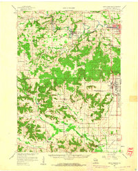
 1959 Baraboo1961 Print · USGSThe Baraboo Range and the winding Wisconsin River meet in this late-fifties study of Sauk and Columbia counties. Researchers can locate rural landmarks like Man Mound, the massive Badger Ordnance Works, and the grounds of Devils Lake State Park.4 unique versions available
 - 1960 Map of Madison
 1960 Madison1960 Print · USGSCentral and Southern Wisconsin are captured in the late fifties, showing the region as its rail-and-river network matured. Trace the paths of the Soo Line RR or locate family roots near Lake Mendota and Horicon National Wildlife Refuge.2 unique versions available
 - 1974 Map of Baraboo SW, 1976 Print
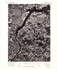 1974 Baraboo SW1976 Print · USGSWisconsin riverfront life and mid-seventies agricultural patterns are frozen in time on this detailed orthophoto. Researchers can trace the street-level growth of Prairie Du Sac and the winding course of the Wisconsin River.
 - 1975 Map of North Freedom SE, 1976 Print
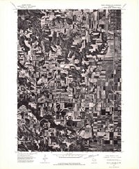 1975 North Freedom SE1976 Print · USGSSauk County’s agricultural and industrial landscape is captured in the mid-seventies in this detailed aerial survey. Researchers can trace land use patterns near Badger or locate the site of the Lodi Mill amidst the rolling farm acreage.2 unique versions available
 - 1975 Map of Sauk City, 1978 Print
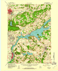
 1975 Sauk City1978 Print · USGSThe Wisconsin River valley in the mid-seventies shows a landscape shaped by military industry and rail transport. Researchers can trace the massive Badger Army Ammunition Plant or locate the village of Merrimac near the Wiegands Bay shoreline.
 - 1991 Map of Madison
 1991 Madison1991 Print · USGSMadison and its iconic glacial lakes are captured here during a time of steady urban expansion and regional growth. Researchers can trace the mid-century development of the University of Wisconsin, locate family sites near Forest Hill Cem, or explore the footprint of the Badger Army Ammunition Plant.
 - 2010 Map of Sauk City, 2010 Print
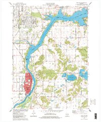
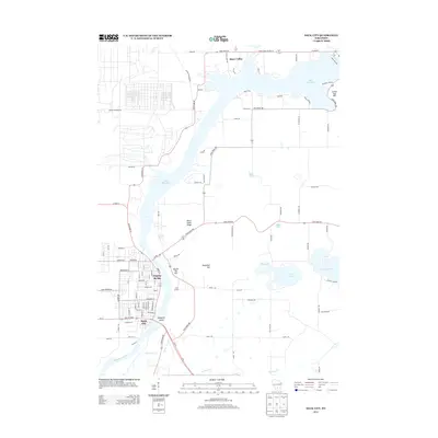
 2010 Sauk City2010 Print · USGSCovers Prairie du Sac, including Sauk City, Roxbury, and other nearby areas
 - 2010 Map of Sauk Prairie, 2010 Print
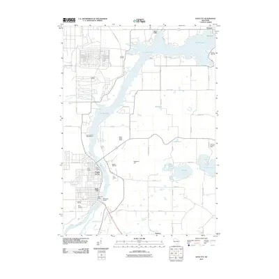
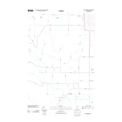
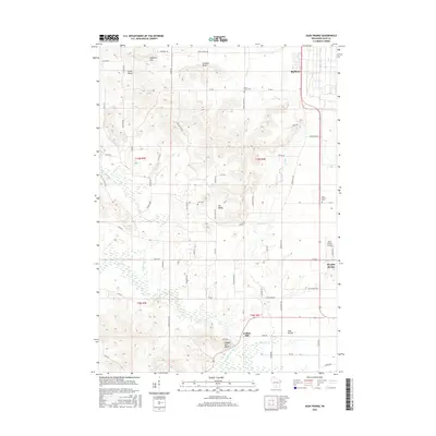
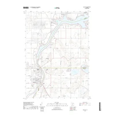
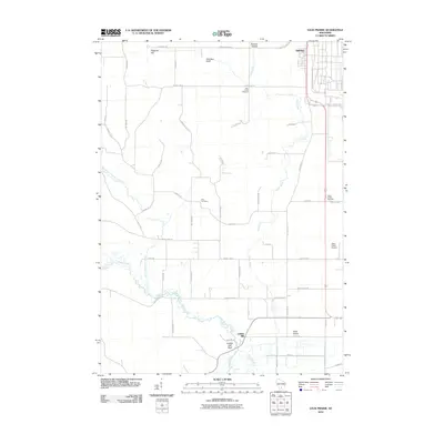 2010 Sauk Prairie2010 Print · USGSCovers Prairie du Sac, including Honey Creek, Town of Prairie du Sac, and other nearby areas
 - 2013 Map of Sauk Prairie, 2013 Print
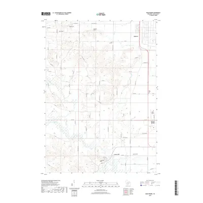
 2013 Sauk Prairie2013 Print · USGSCovers Prairie du Sac, including Honey Creek, Town of Prairie du Sac, and other nearby areas
 - 2013 Map of Sauk City, 2013 Print
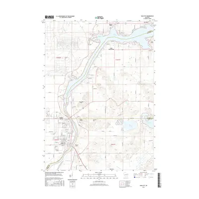
 2013 Sauk City2013 Print · USGSCovers Prairie du Sac, including Sauk City, Roxbury, and other nearby areas
 - 2016 Map of Sauk Prairie, 2016 Print
 2016 Sauk Prairie2016 Print · USGSCovers Prairie du Sac, including Honey Creek, Town of Prairie du Sac, and other nearby areas
 - 2016 Map of Sauk City, 2016 Print
 2016 Sauk City2016 Print · USGSCovers Prairie du Sac, including Sauk City, Roxbury, and other nearby areas
 - 2018 Map of Sauk Prairie, 2018 Print
 2018 Sauk Prairie2018 Print · USGSCovers Prairie du Sac, including Honey Creek, Town of Prairie du Sac, and other nearby areas
 - 2018 Map of Sauk City, 2018 Print
 2018 Sauk City2018 Print · USGSCovers Prairie du Sac, including Sauk City, Roxbury, and other nearby areas
 - 2022 Map of Sauk Prairie, 2022 Print
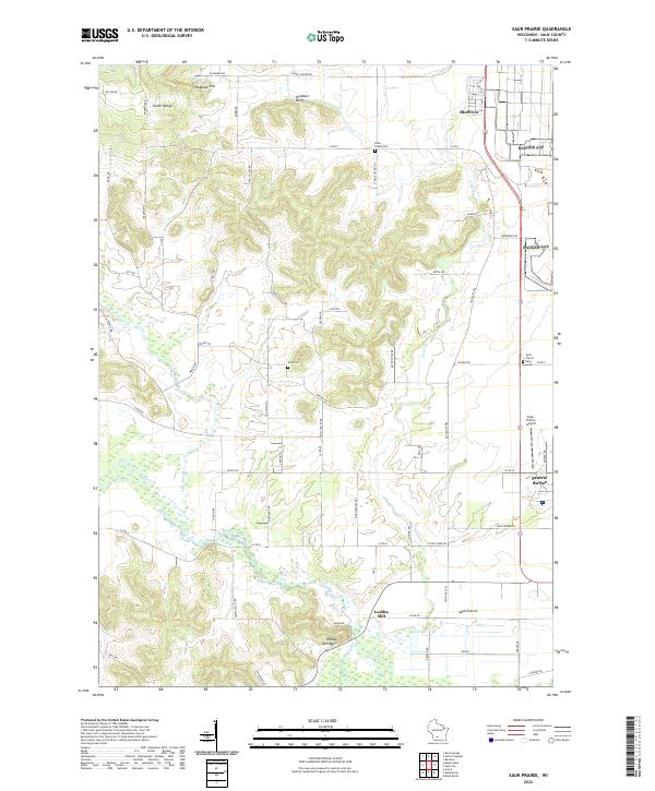 2022 Sauk Prairie2022 Print · USGSSauk County's glacial plains and high ridges are shown in modern detail as they transition from the heights of the South Range down to the Wisconsin River. Genealogists and local historians can locate several rural burial grounds including Otter Creek Cem and Zion Cem, or trace the old roads surrounding Loddes Mill and Bluffview.
 - 2022 Map of Sauk City, 2022 Print
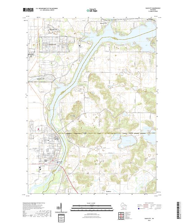 2022 Sauk City2022 Print · USGSThe twin communities of Sauk City and Prairie du Sac are captured here as they appeared recently along the Wisconsin River. Genealogists and local historians can trace family locations through several burial grounds like Thoelke Cem and the Sauk City Cem.
End of results
Showing maps 1-21 of 21
Top cities near Prairie du Sac
- Madison historical maps
- Middleton historical maps
- Baraboo historical maps
- Reedsburg historical maps
- Cross Plains historical maps
- Sauk City historical maps
See more
Top neighborhoods of Prairie du Sac
- Fieldstone historical maps
- Highland Park historical maps
- Westwynde historical maps
- The Forest historical maps
Frequently asked questions
- What are the different types of historical maps available for Prairie du Sac?
- What is the oldest map of Prairie du Sac?
- Where can I purchase historical maps of Prairie du Sac for my home or office?
- Where can I download high-res historical maps of Prairie du Sac?
- Are there historical topographic maps available for Prairie du Sac?
- Is there historical aerial imagery available for Prairie du Sac?
- Where are historical maps of Prairie du Sac sourced from?