Old Maps of Reedsburg, Wisconsin for Hiking & Exploration
Hike through history with 24 historic maps of Reedsburg. Explore old trails, ghost towns, and forgotten backroads — perfect for outdoor adventurers and local explorers.
- Rediscover forgotten places: Map out old mining camps, roads, and footpaths that no longer exist on modern maps.
- Layer with modern tools: Combine with LiDAR or satellite views to plan hikes through historical terrain.
- Made for exploration: Popular among hikers, overlanders, and local history lovers.
Use these maps to find adventure and explore the hidden past of Reedsburg.
Reedsburg, WI maps
(24)- 1901 Map of The Dells
 1901 The Dells1901 Print · USGSSauk County and the Wisconsin River Dells were already becoming a destination at the turn of the century. Trace the early rail lines and river landmarks like Mirror Lake, Kilbourn, and the distinctive Elephants Back.6 unique versions available
 - 1956 Map of Reedsburg, 1958 Print
 1956 Reedsburg1958 Print · USGSThe Baraboo River valley at the peak of the mid-century era shows a landscape of rail-connected towns and rural school districts. Genealogists can trace family names through landmarks like Teachers College, Resting Green Cem, and Potato Hill.3 unique versions available
 - 1957 Map of Wisconsin Dells, 1959 Print
 1957 Wisconsin Dells1959 Print · USGSThe Wisconsin River corridor is captured here in the mid-fifties as tourism and rail transport shaped the local economy. Genealogists and historians can trace numerous rural school sites like Jopp Sch and family landmarks such as Louie Bluff or Webster Prairie Cem.
 - 1957 Map of Madison, 1967 Print
 1957 Madison1967 Print · USGSSouth-central Wisconsin in the mid-fifties reveals a landscape of industrial hubs and glacial lakes linked by a dense rail and highway network. Genealogists and historians can trace the development of lakeside communities and find notable sites like Badger Ordnance Works and the Horicon National Wildlife Refuge.3 unique versions available
 - 1958 Map of La Crosse, 1979 Print
 1958 La Crosse1979 Print · USGSThe Driftless Area of Wisconsin and Iowa is captured here during the late seventies, showing the intricate river valleys and ridge-top settlements. Genealogists and historians can trace the rail corridors of the Soo Line or locate landmarks like Grandad Bluff and Effigy Mounds National Monument.2 unique versions available
 - 1960 Map of Madison
 1960 Madison1960 Print · USGSCentral and Southern Wisconsin are captured in the late fifties, showing the region as its rail-and-river network matured. Trace the paths of the Soo Line RR or locate family roots near Lake Mendota and Horicon National Wildlife Refuge.2 unique versions available
 - 1961 Map of La Crosse
 1961 La Crosse1961 Print · USGSThe Driftless Area at the start of the 1960s reveals a complex network of river towns and rail lines along the Mississippi River. Genealogists and historians can trace old settlements like New Amsterdam and Wyattville or locate major landmarks like Camp McCoy Military Reservation and Effigy Mounds National Monument.
 - 1965 Map of La Crosse
 1965 La Crosse1965 Print · USGSThe Driftless Area and the Upper Mississippi valley are captured here during a period of steady mid-century growth. Researchers can trace the rail lines of the Chicago and North Western or locate riverfront sites like Effigy Mounds National Monument and the Camp McCoy Military Reservation.
 - 1975 Map of Wisconsin Dells SW, 1976 Print
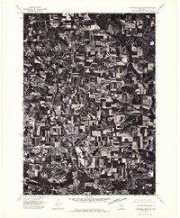 1975 Wisconsin Dells SW1976 Print · USGSSauk County's rural landscape is captured during the mid-seventies, showing the transition from town life to the surrounding highlands. Genealogists and historians can trace the growth of Reedsburg and the precise arrangement of local farmsteads.2 unique versions available
 - 1975 Map of Reedsburg West, 1978 Print
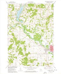 1975 Reedsburg West1978 Print · USGSSauk County's river valleys and the waters of Lake Redstone are captured here in the mid-seventies as the region balanced its rural roots with growing town centers. Genealogists and local historians can trace legacy sites like St Patricks Cemetery, Babb Cemetery, and the schools of Reedsburg.
 - 1976 Map of La Crosse
 1976 La Crosse1976 Print · USGSThe Driftless Area and Mississippi River valley are captured here in the mid-seventies, showing a landscape of deep coulees and river commerce. Genealogists can trace family footprints from La Crosse to smaller hamlets like Newburg Corners and Witoka.
 - 1985 Map of Wisconsin Dells
 1985 Wisconsin Dells1985 Print · USGSCentral Wisconsin in the mid-eighties was a landscape of intricate river bends, rail junctions, and sprawling marshlands. Researchers can trace historic routes along the Soo Line or locate family landmarks near Lyndon Station, Buffalo Lake, and Puckaway Lake.
 - 1985 Map of Sparta
 1985 Sparta1985 Print · USGSWestern Wisconsin in the 1980s shows the unique ridge-and-valley terrain of the Driftless Area during a period of transition for its rails and rural hubs. Trace the historic rail tunnels of the Elroy-Sparta State Trail and find local landmarks like St Marys Ch and Castle Rock Lake.2 unique versions available
 - 1990 Map of Wisconsin Dells, 1991 Print
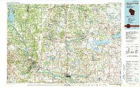 1990 Wisconsin Dells1991 Print · USGSCentral Wisconsin's river valleys and lake country are captured in detail here during the late twentieth century. Researchers can trace the rail-and-water geography connecting Wisconsin Dells and Portage with landmarks like Blackhawk Island and Buffalo Lake.
 - 2010 Map of Reedsburg East, 2010 Print
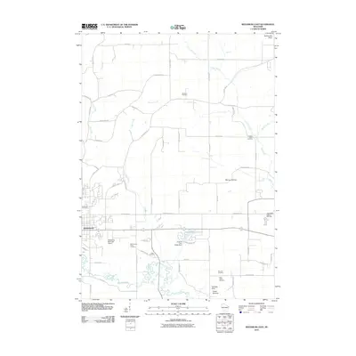 2010 Reedsburg East2010 Print · USGSWisconsin's driftless-adjacent landscape unfolds east of Reedsburg during the early 2000s, where the Baraboo River valley meets rising glacial terrain. Genealogists can trace local roots through numerous rural plots like Saint Johns Cemetery or Cole Cemetery near Van Hise Rock.
 - 2010 Map of Reedsburg West, 2010 Print
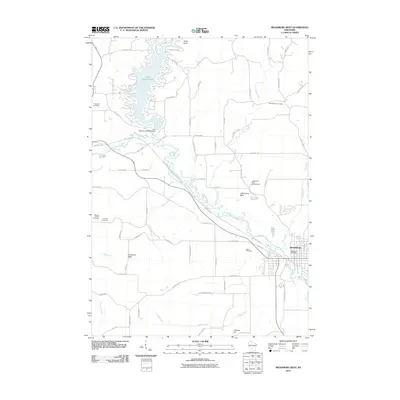 2010 Reedsburg West2010 Print · USGSSauk County in the early twenty-first century reveals a landscape where recreation and tradition meet. You can trace the shoreline of Lake Redstone 30, locate family plots at Babb Cemetery, or follow the former rail path of the 400 State Trl along the Baraboo River.
 - 2013 Map of Reedsburg West, 2013 Print
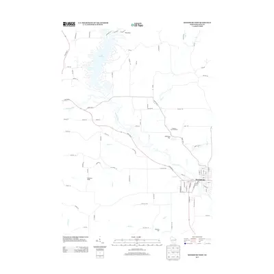 2013 Reedsburg West2013 Print · USGSReedsburg and the winding Baraboo River valley are documented here in the early twenty-first century. Researchers can trace the development of Reedsburg and the rural surroundings of Lake Redstone, Kinnamon Ridge, and Lighthouse Rock.
 - 2013 Map of Reedsburg East, 2013 Print
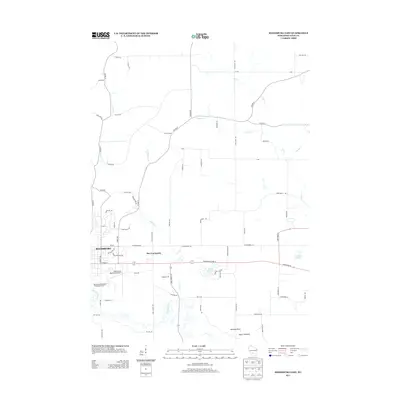 2013 Reedsburg East2013 Print · USGSReedsburg and its eastern rural surroundings are documented here during a period of steady modern growth in Sauk County. You can trace the Baraboo River to the Upper Narrows or locate landmarks like Van Hise Rock and the Reedsburg Municipal Airport.
 - 2016 Map of Reedsburg East, 2016 Print
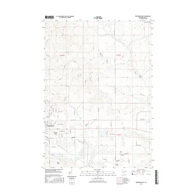 2016 Reedsburg East2016 Print · USGSReedsburg and the Baraboo River valley are documented here in the mid-2010s, showing a landscape defined by riverside industry and deep-rooted rural communities. Researchers can locate numerous local burial sites like Glenwood Cem and Pine Hill Cem, or trace the Union Pacific line as it bypasses Rattlesnake Knob.
 - 2016 Map of Reedsburg West, 2016 Print
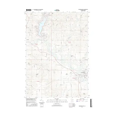 2016 Reedsburg West2016 Print · USGSThe Baraboo River valley in the mid-2010s shows a landscape defined by its winding waterways and the developing shorelines of Lake Redstone. Genealogists and local historians can locate several burial grounds, including Resting Green Cem and Calvary Cem, alongside landmarks like Lighthouse Rock.
 - 2018 Map of Reedsburg West, 2018 Print
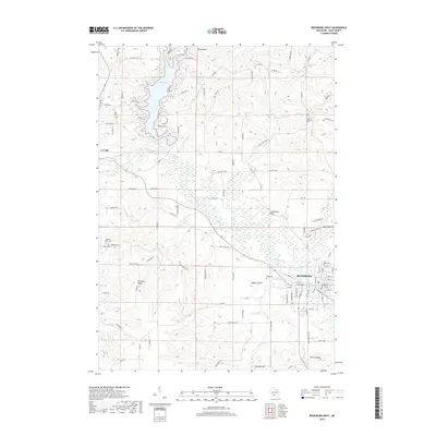 2018 Reedsburg West2018 Print · USGSSauk County's river valleys and ridges appear in high detail during the late twenty-tens as modern development meets old township lines. Researchers can locate family sites at Saint Patricks Cem or trace the shores of Lake Redstone and the Baraboo River.
 - 2018 Map of Reedsburg East, 2018 Print
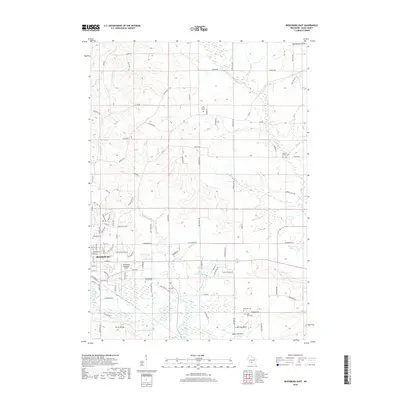 2018 Reedsburg East2018 Print · USGSReedsburg and the surrounding Sauk County ridges are captured here during the late twenty-tens, showing the developed valley of the Baraboo River. Researchers can locate several rural burial sites like Glenwood Cem and East Narrows Prairie Cem while tracing the winding paths of Hulu Cr and Dell Cr.
 - 2022 Map of Reedsburg East, 2022 Print
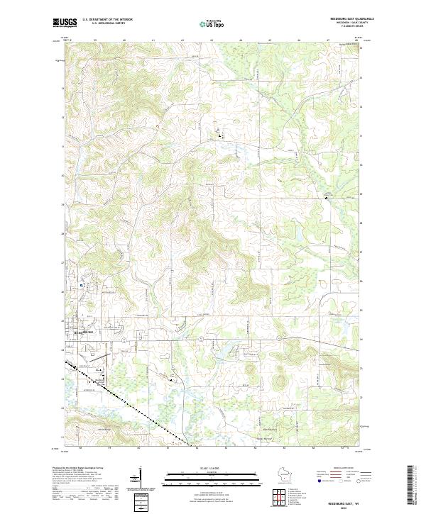 2022 Reedsburg East2022 Print · USGSSauk County's eastern countryside comes alive in this survey, showcasing the area's development from the riverfront to the ridges. You can trace family plots at All Saints Cem or locate geological landmarks like Van Hise Rock and the Upper Narrows.
 - 2022 Map of Reedsburg West, 2022 Print
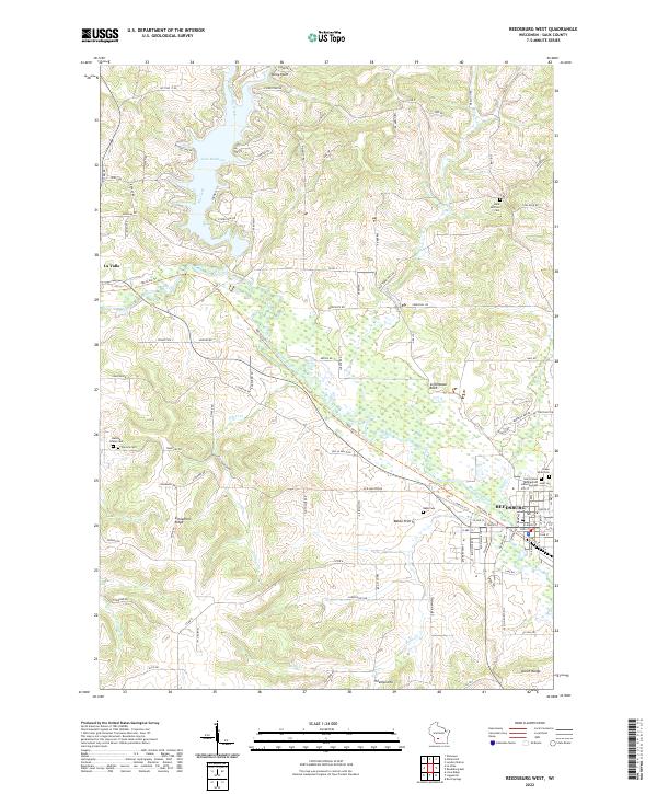 2022 Reedsburg West2022 Print · USGSThe Baraboo River valley and the waters of Lake Redstone define this portion of Sauk County during the early 2020s. Genealogists can locate several local burial sites, including Resting Green Cem and Babb Cem, or trace the path of the 400 State Trl through La Valle.
End of results
Showing maps 1-24 of 24
Top cities near Reedsburg
- Baraboo historical maps
- Lake Delton historical maps
- Wisconsin Dells historical maps
- Lemonweir historical maps
- West Baraboo historical maps
- Dell Prairie historical maps
See more
Top neighborhoods of Reedsburg
Frequently asked questions
- What are the different types of historical maps available for Reedsburg?
- What is the oldest map of Reedsburg?
- Where can I purchase historical maps of Reedsburg for my home or office?
- Where can I download high-res historical maps of Reedsburg?
- Are there historical topographic maps available for Reedsburg?
- Is there historical aerial imagery available for Reedsburg?
- Where are historical maps of Reedsburg sourced from?