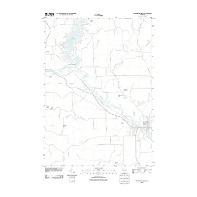
2010 Map of Reedsburg West
USGS Topo · Published 2010About this map
Lake Redstone 30 and the Lake Redstone 2WP1970 Dam define the northern portion of this Sauk County landscape, where the reservoir's irregular fingers reach into the surrounding hills. To the southeast, the city of Reedsburg serves as a local hub, anchored by the Reedsburg Post Office. The winding course of the Baraboo River meanders through the center of the sheet, flanked by the 400 State Trl, a recreational conversion of a former rail corridor.
Find a feature on this map
64 named features on this map. Tap any name to fly to it.
Don’t see what you’re looking for? This feature index may not catch every label — zoom into the map to look around manually.
Map Details
Editions of this 2010 Reedsburg West Map
This is the sole edition of this map. No revisions or reprints were ever made.
Other maps of this area

1901 · Denzer
USGS Topo · 1:62,500

1901 · The Dells
USGS Topo · 1:62,500

1905 · Richland Center
USGS Topo · 1:125,000

1956 · Reedsburg
USGS Topo · 1:62,500

1957 · Wisconsin Dells
USGS Topo · 1:62,500

1957 · Madison
USGS Topo · 1:250,000

1958 · North Freedom
USGS Topo · 1:62,500

1958 · La Crosse
USGS Topo · 1:250,000

1960 · Madison
USGS Topo · 1:250,000

1960 · Plain
USGS Topo · 1:62,500