Old Maps of Westfield, Wisconsin for Genealogy
Trace your family roots with 24 historic maps of Westfield. These high-res maps reveal old neighborhoods, homesites, landmarks, and streets — helping you uncover where your ancestors lived and how the area evolved over time.
- Explore historic neighborhoods: Identify where your relatives may have lived in the 1800s or 1900s.
- Compare maps over time: Trace the changes in streets, buildings, and landmarks for multi-generational research.
- Perfect for genealogy & ancestry research: Used by family historians and researchers to map out lineage and migration.
These maps are an incredible resource for exploring your personal connection to Westfield's past.
Westfield, WI maps
(24)- 1901 Map of Denzer
 1901 Denzer1901 Print · USGSSauk County at the turn of the century shows a landscape of narrow valleys and early rail corridors along the Baraboo River. Researchers can trace old crossroads like Pains Corners and Lodi Mill or find landmarks like Pewits Nest.7 unique versions available
 - 1905 Map of Richland Center
 1905 Richland Center1905 Print · USGSRichland and Sauk Counties at the turn of the century show a landscape defined by the winding Wisconsin River and early rail expansion. Genealogists and historians can trace the foundations of local commerce through early post offices like Beach P.O. and rail hubs at Lone Rock and Richland Center.2 unique versions available
 - 1957 Map of Madison, 1967 Print
 1957 Madison1967 Print · USGSSouth-central Wisconsin in the mid-fifties reveals a landscape of industrial hubs and glacial lakes linked by a dense rail and highway network. Genealogists and historians can trace the development of lakeside communities and find notable sites like Badger Ordnance Works and the Horicon National Wildlife Refuge.3 unique versions available
 - 1958 Map of North Freedom, 1960 Print
 1958 North Freedom1960 Print · USGSSauk County's rural landscape is captured here in the late fifties, defined by its traditional farmsteads and a massive industrial military presence. Researchers can find numerous country landmarks like Free Thinkers Hall, Stones Pocket Sch, and the Lodi Mill.4 unique versions available
 - 1958 Map of La Crosse, 1979 Print
 1958 La Crosse1979 Print · USGSThe Driftless Area of Wisconsin and Iowa is captured here during the late seventies, showing the intricate river valleys and ridge-top settlements. Genealogists and historians can trace the rail corridors of the Soo Line or locate landmarks like Grandad Bluff and Effigy Mounds National Monument.2 unique versions available
 - 1960 Map of Madison
 1960 Madison1960 Print · USGSCentral and Southern Wisconsin are captured in the late fifties, showing the region as its rail-and-river network matured. Trace the paths of the Soo Line RR or locate family roots near Lake Mendota and Horicon National Wildlife Refuge.2 unique versions available
 - 1960 Map of Plain, 1961 Print
 1960 Plain1961 Print · USGSCentral Sauk County and eastern Richland County appear here in the early sixties, characterized by a dense network of hill-country hollows and rural settlements. Family historians can trace rural school districts like Puckertown Sch and Hickory Grove Sch or locate the Our Lady of the Fields Chapel.2 unique versions available
 - 1961 Map of La Crosse
 1961 La Crosse1961 Print · USGSThe Driftless Area at the start of the 1960s reveals a complex network of river towns and rail lines along the Mississippi River. Genealogists and historians can trace old settlements like New Amsterdam and Wyattville or locate major landmarks like Camp McCoy Military Reservation and Effigy Mounds National Monument.
 - 1965 Map of La Crosse
 1965 La Crosse1965 Print · USGSThe Driftless Area and the Upper Mississippi valley are captured here during a period of steady mid-century growth. Researchers can trace the rail lines of the Chicago and North Western or locate riverfront sites like Effigy Mounds National Monument and the Camp McCoy Military Reservation.
 - 1975 Map of North Freedom NW, 1976 Print
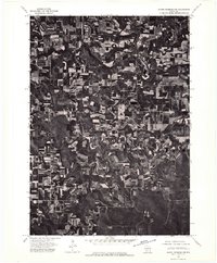 1975 North Freedom NW1976 Print · USGSSauk County farmlands and river bends are captured in this mid-seventies aerial survey. Genealogists and researchers can trace the rural layouts of Rock Springs and La Rue or follow the path of the Baraboo River.2 unique versions available
 - 1976 Map of La Crosse
 1976 La Crosse1976 Print · USGSThe Driftless Area and Mississippi River valley are captured here in the mid-seventies, showing a landscape of deep coulees and river commerce. Genealogists can trace family footprints from La Crosse to smaller hamlets like Newburg Corners and Witoka.
 - 1983 Map of Loganville
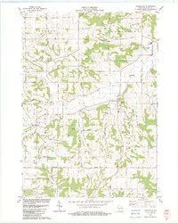 1983 Loganville1983 Print · USGSSauk County in the early eighties shows a settled landscape of family farms and rural parishes. Researchers can trace historic local boundaries and find sites like Tuckertown Cem, the County Home, and the winding Narrows Creek.
 - 1985 Map of Richland Center, 1991 Print
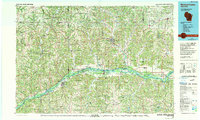 1985 Richland Center1991 Print · USGSSouthwest Wisconsin’s driftless landscape in the mid-1980s is defined by its deep river valleys and tight agricultural settlements. Researchers can trace family-named landmarks like Mickelson Ridge or find remote churches and schools near Richland Center and Dodgeville.
 - 1991 Map of Madison
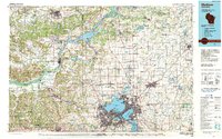 1991 Madison1991 Print · USGSMadison and its iconic glacial lakes are captured here during a time of steady urban expansion and regional growth. Researchers can trace the mid-century development of the University of Wisconsin, locate family sites near Forest Hill Cem, or explore the footprint of the Badger Army Ammunition Plant.
 - 2010 Map of Loganville, 2010 Print
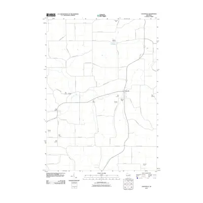 2010 Loganville2010 Print · USGSLoganville and Hill Point appear in this contemporary record of Sauk County's rural landscape. Researchers can trace numerous local burial grounds such as Saint Peter Cemetery or locate the Stolte G- 9668 Dam and Tri-Center Airport.
 - 2010 Map of Rock Springs, 2010 Print
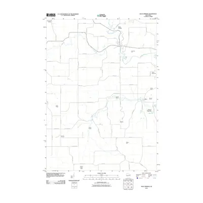 2010 Rock Springs2010 Print · USGSSauk County's rural character is preserved in this study of the communities around the Baraboo River and Rock Springs. Family historians can locate Maple Hill Cemetery or trace landmarks like Devils Chair and LaRue.
 - 2013 Map of Loganville, 2013 Print
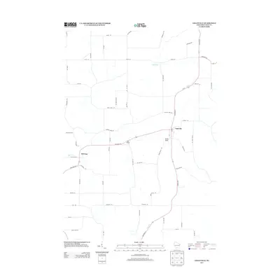 2013 Loganville2013 Print · USGSSauk County's rural heartland is documented here in the early twenty-first century, centered on the village of Loganville. Researchers can trace the layout of small communities like Hill Point and Ela Valley alongside distinctive landmarks like Peak Hill Rd.
 - 2013 Map of Rock Springs, 2013 Print
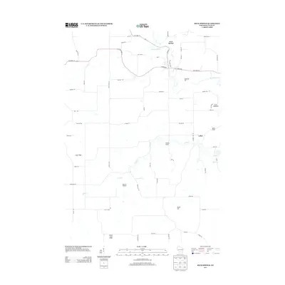 2013 Rock Springs2013 Print · USGSSauk County's rural landscape is captured here in the early twenty-first century as it centers on the Baraboo River. Genealogists and local historians can trace the roads around Rock Springs or locate landmarks like Devils Chair and LaRue.
 - 2016 Map of Rock Springs, 2016 Print
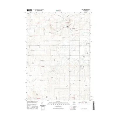 2016 Rock Springs2016 Print · USGSSauk County's river valleys and distinctive rocky ridges are shown here in the mid-2010s. Local researchers can trace family lands near Rock Springs or find burial sites at Saint Paul Cem and Maple Hill Cem.
 - 2016 Map of Loganville, 2016 Print
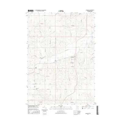 2016 Loganville2016 Print · USGSSauk County's rural townships are documented here in the mid-2010s, showing a landscape of deep valleys and family-named landmarks. Researchers can locate numerous historic burial sites like Saint Pauls Cem and Tuckertown Cem near settlements such as Hill Point.
 - 2018 Map of Loganville, 2018 Print
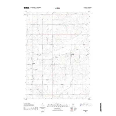 2018 Loganville2018 Print · USGSSauk County's rural heartland is preserved here in the late 2010s, showcasing a landscape of fertile valleys and tight-knit settlements. Researchers can pinpoint historic burial grounds like Tuckertown Cem and Saint Peter Cem or trace the winding paths of Narrows Creek and Ela Valley.
 - 2018 Map of Rock Springs, 2018 Print
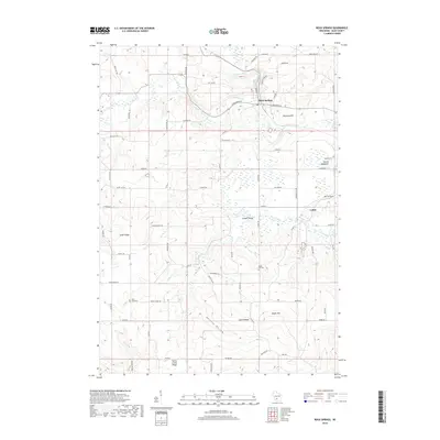 2018 Rock Springs2018 Print · USGSSauk County's rural heartland is documented here in the late 2010s, centered on the river junction at Rock Springs. Genealogists and local researchers can trace family landmarks like Maple Hill Cem and Saint Paul Cem or the small settlement of LaRue.
 - 2022 Map of Rock Springs, 2022 Print
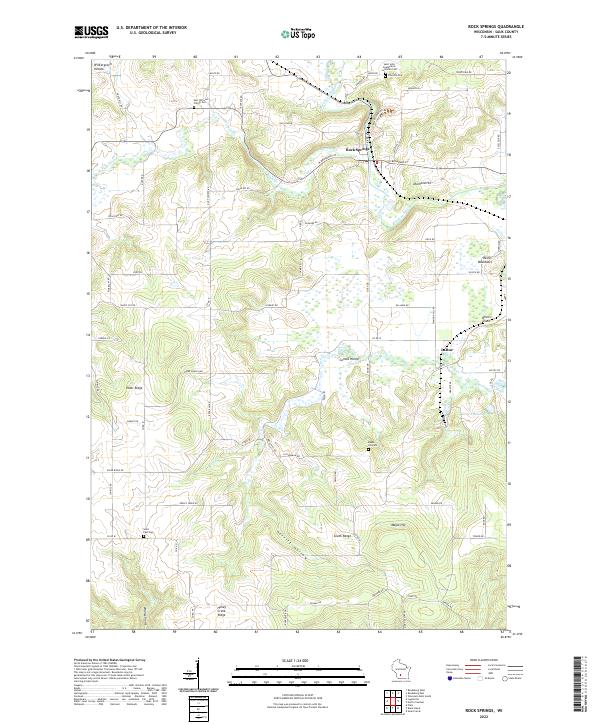 2022 Rock Springs2022 Print · USGSSauk County's river valleys and ridgelines are shown here in the 2020s, centered on the confluence of the Baraboo River and Narrows Cr. Genealogists and historians can locate family burial sites at Saint Paul Cem and Maple Hill Cem or explore the terrain around LaRue and Rock Springs.
 - 2022 Map of Loganville, 2022 Print
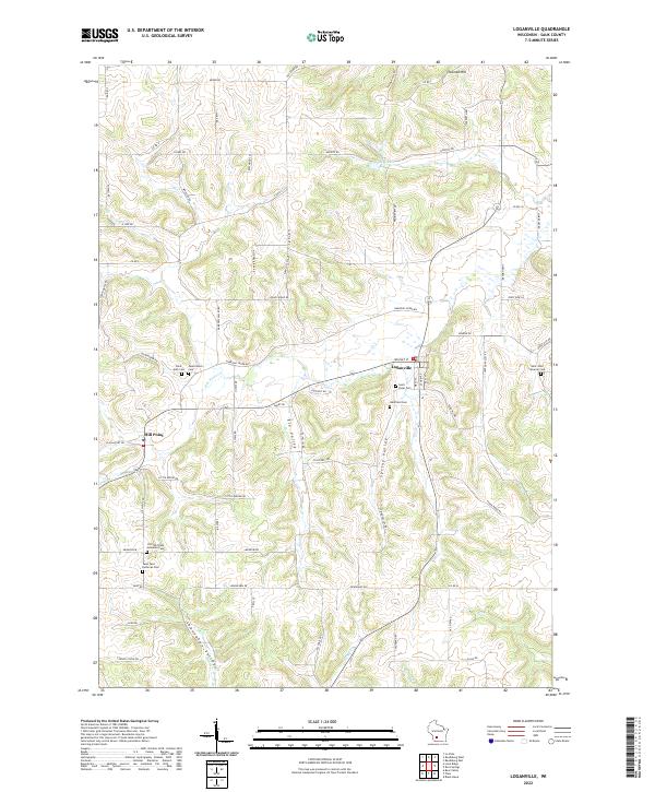 2022 Loganville2022 Print · USGSSauk County's rural valleys and ridges come into focus in this contemporary record of the Driftless Area's agricultural landscape. Researchers can locate numerous family and church burial grounds like Tuckertown Cem, Westfield Cem, and Saint Peter Cem.
End of results
Showing maps 1-24 of 24
Top cities near Westfield
- Reedsburg historical maps
- Lake Delton historical maps
- Wisconsin Dells historical maps
- Dell Prairie historical maps
- Lyndon historical maps
- Town of Lyndon historical maps
See more
Frequently asked questions
- What are the different types of historical maps available for Westfield?
- What is the oldest map of Westfield?
- Where can I purchase historical maps of Westfield for my home or office?
- Where can I download high-res historical maps of Westfield?
- Are there historical topographic maps available for Westfield?
- Is there historical aerial imagery available for Westfield?
- Where are historical maps of Westfield sourced from?