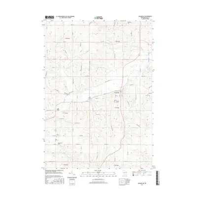
2016 Map of Loganville
USGS Topo · Published 2016About this map
Loganville serves as the central hub of this Sauk County landscape, where the local road network converges along the banks of Narrows Cr. The geography is defined by a series of distinct valleys, including Ela Valley, Spring Valley, and Shannahan Valley, which suggest a long history of agricultural settlement tucked between the area's prominent rises like Thieman Hill. Genealogists will find significant value in the distribution of several rural burial grounds, such as Tuckertown Cem, Saint Pauls Cem, and Saint Johns Cem, which are scattered throughout the townships. The map details a transition from the drainage of Hill Point Cr in the west toward the larger flow of Honey Cr in the south, illustrating the complex hydrology that influenced the placement of early homesteads and roads like Tuckertown RD and Sugar Maple RD.
Find a feature on this map
80 named features on this map. Tap any name to fly to it.
Don’t see what you’re looking for? This feature index may not catch every label — zoom into the map to look around manually.
Map Details
Editions of this 2016 Loganville Map
This is the sole edition of this map. No revisions or reprints were ever made.
Other maps of this area

1901 · Denzer
USGS Topo · 1:62,500

1901 · The Dells
USGS Topo · 1:62,500

1905 · Richland Center
USGS Topo · 1:125,000

1956 · Reedsburg
USGS Topo · 1:62,500

1957 · Wisconsin Dells
USGS Topo · 1:62,500

1957 · Madison
USGS Topo · 1:250,000

1958 · North Freedom
USGS Topo · 1:62,500

1958 · La Crosse
USGS Topo · 1:250,000

1960 · Madison
USGS Topo · 1:250,000

1960 · Plain
USGS Topo · 1:62,500