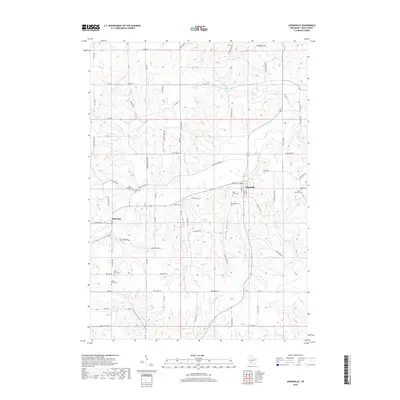
2018 Map of Loganville
USGS Topo · Published 2018About this map
Ela Valley, Spring Valley, and Shannahan Valley define the undulating landscape of western Sauk County in this modern survey. The village of Loganville and the settlement of Hill Point serve as the primary hubs of this rural corridor, connected by a network of county roads and winding local routes like Tuckertown Rd and Narrows Creek Rd. The drainage patterns are clearly marked by Narrows Creek and Hill Point Cr, illustrating how the topography has historically dictated the placement of homesteads and transit lines.
Find a feature on this map
74 named features on this map. Tap any name to fly to it.
Don’t see what you’re looking for? This feature index may not catch every label — zoom into the map to look around manually.
Map Details
Editions of this 2018 Loganville Map
This is the sole edition of this map. No revisions or reprints were ever made.
Other maps of this area

1901 · Denzer
USGS Topo · 1:62,500

1901 · The Dells
USGS Topo · 1:62,500

1905 · Richland Center
USGS Topo · 1:125,000

1956 · Reedsburg
USGS Topo · 1:62,500

1957 · Wisconsin Dells
USGS Topo · 1:62,500

1957 · Madison
USGS Topo · 1:250,000

1958 · North Freedom
USGS Topo · 1:62,500

1958 · La Crosse
USGS Topo · 1:250,000

1960 · Madison
USGS Topo · 1:250,000

1960 · Plain
USGS Topo · 1:62,500