Old Maps of Bass Lake, Wisconsin for Metal Detecting
Plan your next treasure hunt with 31 historic maps of Bass Lake. Find old homesites, ghost towns, trails, and gathering spots that may be lost to time — perfect for identifying promising metal detecting locations.
- Locate forgotten sites: Uncover places like long-lost settlements, abandoned rail lines, or gathering spots.
- Plan better hunts: Use map overlays combined with LiDAR or satellite views to narrow in on historically rich areas.
- Made for detectorists: Thousands of hobbyists use these maps to discover relics, coins, and hidden history.
Use these historic maps to boost your research and find new opportunities beneath the surface of Bass Lake.
Bass Lake, WI maps
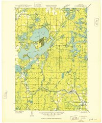
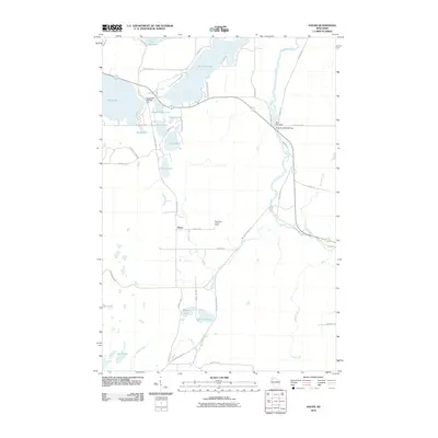
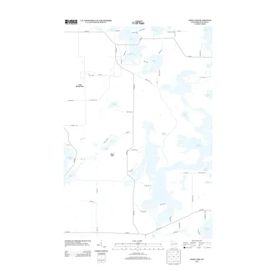
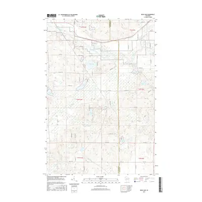
(31)- 1944 Map of Couderay, 1956 Print
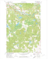
 1944 Couderay1956 Print · USGSSawyer County’s lake country is captured here during the 1940s, showing the intersection of tribal lands and rail-driven settlements. Genealogists and historians can trace old homesteads near Reserve, the village of Couderay, and rural schools like Boylan Sch.2 unique versions available
 - 1948 Map of Couderay
 1948 Couderay1948 Print · USGSSawyer County at the end of the Second World War shows a landscape defined by its great lakes and a dense network of early railroads. Genealogists and local historians can trace family-named sites and rural centers like Hauer, Whitefish Ch, and Kinnamon Sch.
 - 1948 Map of Stone Lake, 1958 Print
 1948 Stone Lake1958 Print · USGSWashburn and Sawyer counties are captured here in the late 1940s, showing a landscape defined by glacial lakes and intersecting railroads. Researchers can trace rural school locations like Edgewood Sch, the Evergreen Cem, and landmarks like the Potato Lake Fire Tower.2 unique versions available
 - 1950 Map of Stone Lake
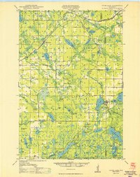 1950 Stone Lake1950 Print · USGSWashburn and Sawyer Counties are shown in the 1950s at the height of their rural rail and schoolhouse era. Researchers can trace the legacy of small communities through the Evergreen Cem, the Potato Lake Fire Tower, and local landmarks like Stinnett Sch and Mackay Valley Sch.
 - 1953 Map of Rice Lake, 1967 Print
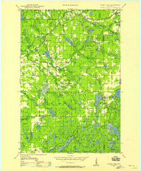
 1953 Rice Lake1967 Print · USGSNorthwest Wisconsin during the mid-fifties reveals a landscape defined by timber, rail, and water. Genealogists and historians can trace the development of river towns like Ladysmith and Rice Lake along the Soo Line and Chicago and North Western railroads.2 unique versions available
 - 1959 Map of Rice Lake
 1959 Rice Lake1959 Print · USGSNorthwest Wisconsin in the late fifties was a land of expanding road networks and deep-seated timber history. Genealogists and historians can trace rail lines like the Soo Line RR and Chicago St Paul Minneapolis and Omaha Ry as they link settlements from Spooner to Medford.
 - 1971 Map of Chief Lake, 1973 Print
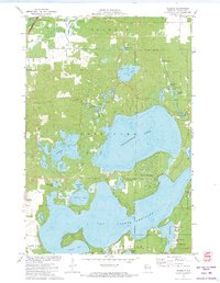
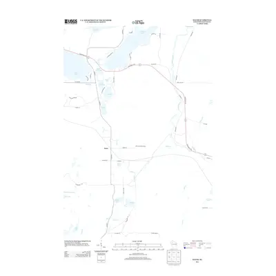
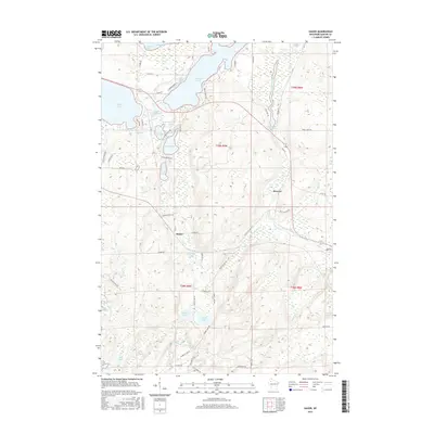
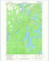 1971 Chief Lake1973 Print · USGSSawyer County’s glacial lake country is captured here in the early 1970s, showcasing the intersection of tribal lands and Northwoods recreation. Genealogists and local historians can locate the Round Lake Cem and trace old routes like Trepania Road and Gurno Road.
 - 1971 Map of Hauer, 1973 Print
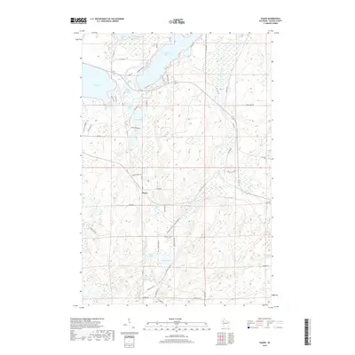
 1971 Hauer1973 Print · USGSSawyer County’s lake-country landscape is documented here in the early 1970s, as traditional rail corridors began their transition to conservation trails. Researchers can locate the Wayside Chapel, trace the Soo Line railroad, and explore the vast Billy Boy Flowage.
 - 1971 Map of Bean Lake, 1974 Print
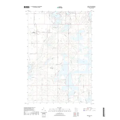
 1971 Bean Lake1974 Print · USGSWashburn and Sawyer Counties were defined by protected wetlands and water-powered history in the early seventies. Trace the Chicago and North Western rail line near the Namekagon River or explore the marshy Cranberry Bog.
 - 1971 Map of Reserve, 1974 Print
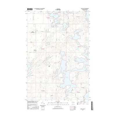
 1971 Reserve1974 Print · USGSThe Northwoods of Sawyer County come to life in the early seventies, centered on the historic settlement of Reserve. Genealogists and historians can locate rural landmarks like St Francis Solanus Mission and the shoreline cottages of Northwoods Beach.2 unique versions available
 - 1980 Map of Spooner
 1980 Spooner1980 Print · USGSNorthwestern Wisconsin at the dawn of the eighties reveals a landscape of deep forests and transitioning rail corridors. Genealogists and historians can trace lakefront settlements like Spooner and Birchwood or follow the early Tuscobia-Park Falls State Trail.
 - 2010 Map of Chief Lake, 2010 Print
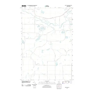
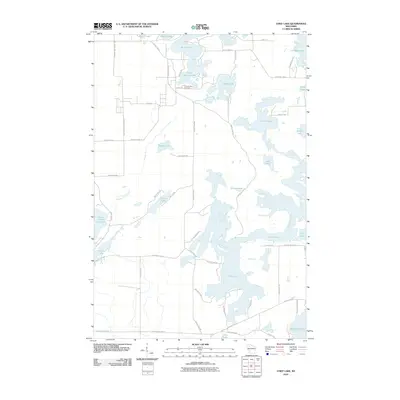 2010 Chief Lake2010 Print · USGSCovers Bass Lake, including Hunter, Chief Lake, and other nearby areas
 - 2010 Map of Reserve, 2010 Print
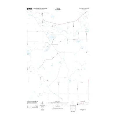
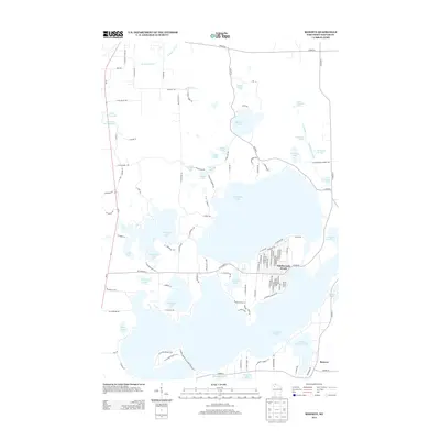
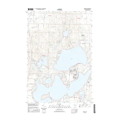
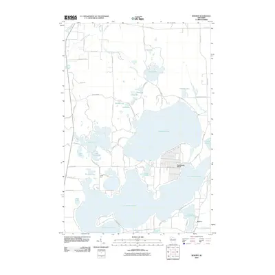 2010 Reserve2010 Print · USGSCovers Bass Lake, including Hayward, Sand Lake, and other nearby areas
 - 2010 Map of Hauer, 2010 Print
 2010 Hauer2010 Print · USGSCovers Bass Lake, including Edgewater, Sand Lake, and other nearby areas
 - 2010 Map of Bean Lake, 2010 Print
 2010 Bean Lake2010 Print · USGSCovers Bass Lake, including Hayward, Sand Lake, and other nearby areas
 - 2013 Map of Hauer, 2013 Print
 2013 Hauer2013 Print · USGSCovers Bass Lake, including Edgewater, Sand Lake, and other nearby areas
 - 2013 Map of Bean Lake, 2013 Print
 2013 Bean Lake2013 Print · USGSCovers Bass Lake, including Hayward, Sand Lake, and other nearby areas
 - 2013 Map of Chief Lake, 2013 Print
 2013 Chief Lake2013 Print · USGSCovers Bass Lake, including Hunter, Chief Lake, and other nearby areas
 - 2013 Map of Reserve, 2013 Print
 2013 Reserve2013 Print · USGSCovers Bass Lake, including Hayward, Sand Lake, and other nearby areas
 - 2015 Map of Chief Lake, 2015 Print
 2015 Chief Lake2015 Print · USGSCovers Bass Lake, including Hunter, Chief Lake, and other nearby areas
 - 2015 Map of Reserve, 2015 Print
 2015 Reserve2015 Print · USGSCovers Bass Lake, including Hayward, Sand Lake, and other nearby areas
 - 2015 Map of Bean Lake, 2015 Print
 2015 Bean Lake2015 Print · USGSCovers Bass Lake, including Hayward, Sand Lake, and other nearby areas
 - 2015 Map of Hauer, 2015 Print
 2015 Hauer2015 Print · USGSCovers Bass Lake, including Edgewater, Sand Lake, and other nearby areas
 - 2018 Map of Hauer, 2018 Print
 2018 Hauer2018 Print · USGSCovers Bass Lake, including Edgewater, Sand Lake, and other nearby areas
 - 2018 Map of Chief Lake, 2018 Print
 2018 Chief Lake2018 Print · USGSCovers Bass Lake, including Hunter, Chief Lake, and other nearby areas
Showing maps 1-25 of 31
Top cities near Bass Lake
- Hayward historical maps
- Edgewater historical maps
- Springbrook historical maps
- Madge historical maps
- Weirgor historical maps
- Radisson historical maps
See more
Top neighborhoods of Bass Lake
Frequently asked questions
- What are the different types of historical maps available for Bass Lake?
- What is the oldest map of Bass Lake?
- Where can I purchase historical maps of Bass Lake for my home or office?
- Where can I download high-res historical maps of Bass Lake?
- Are there historical topographic maps available for Bass Lake?
- Is there historical aerial imagery available for Bass Lake?
- Where are historical maps of Bass Lake sourced from?