2010s Maps of Lenroot, Wisconsin
Explore 24 historic maps of Lenroot from the 2010s. These maps offer a rare glimpse into what life looked like during the 2010s — showing old roads, neighborhoods, homes, and landmarks that have changed or disappeared over time.
Whether you're researching your family's past, planning a metal detecting trip, or studying how Lenroot's landscape evolved across the 2010s, these high-resolution maps are a powerful tool for exploring the history of this region.
- Focus on a specific era: All maps on this page are from the 2010s, giving you a focused view of this time period.
- See what’s changed: Compare century-old streets, trails, and buildings to today's modern landscape using overlays and satellite layers.
- Research with precision: Use these maps for genealogy, historical research, land use analysis, or educational projects.
- View, download, or print: Maps are fully viewable online in high resolution, and can be downloaded or printed for your own records.
Start exploring Lenroot's history through authentic maps from the 2010s. This is your window into the past.
Lenroot, WI maps
(24)- 2010 Map of Chittamo NE, 2010 Print
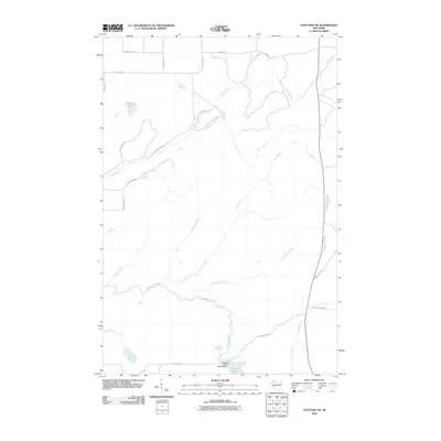 2010 Chittamo NE2010 Print · USGSDouglas County’s forested wetlands and hydraulic infrastructure are captured here in the decade following the turn of the millennium. Outdoor enthusiasts and researchers can trace the Totagatic River to the 2WP804 Dam or explore the network of timber routes like Coppermine Scenic Drive Loop.
 - 2010 Map of Stanberry East, 2010 Print
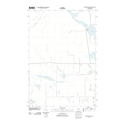 2010 Stanberry East2010 Print · USGSStanberry and the Northwoods of Sawyer County are documented here in the early 2000s, showing a landscape defined by glacial lakes and the Totagatic Flowage. Researchers can locate Greenwood Cemetery, the Totagatic 2 WP 239 Dam, and family-named routes like John Waggoner Rd.
 - 2010 Map of Seeley, 2010 Print
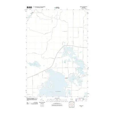 2010 Seeley2010 Print · USGSThe Northwoods landscape around Seeley is defined by its deep glacial lakes and river corridors at the start of the 21st century. Researchers can trace the layout of Riverside Cemetery, find the Round Lake Seaplane Base, and locate the Lake Placid 2 WP 298 Dam.
 - 2010 Map of Hayward, 2010 Print
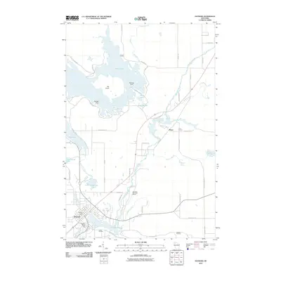 2010 Hayward2010 Print · USGSSawyer County at the start of the 2010s shows a landscape deeply tied to the Namekagon River and its surrounding wetlands. Researchers can trace local history through the Trinity Cemetery, the Hayward Fire Tower, and landmarks like Lenroot Landing.
 - 2011 Map of Cable, 2011 Print
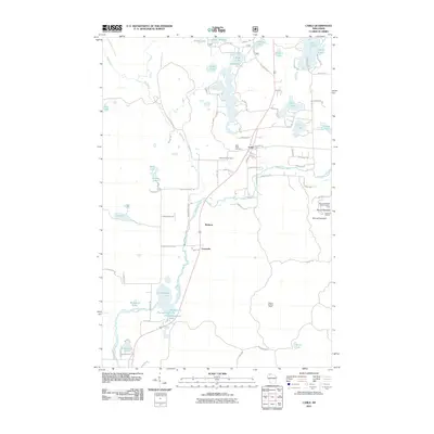 2011 Cable2011 Print · USGSCable and the Namekagon River corridor are captured here during the early twenty-first century as the region balanced its timber roots with seasonal recreation. Researchers can trace local lineage at Greenwood Cemetery or locate the sprawling Mount Telemark SkiArea and Seeley Lookout Tower.
 - 2011 Map of Totagatic Lake, 2011 Print
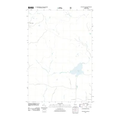 2011 Totagatic Lake2011 Print · USGSThe Northwoods of Bayfield County are captured here in the early twenty-first century, showing a landscape defined by water and forest management. Local history enthusiasts can trace the paths of Ounce River and locate the Smoky Hill Fire Tower atop Smoky Hill.
 - 2013 Map of Hayward, 2013 Print
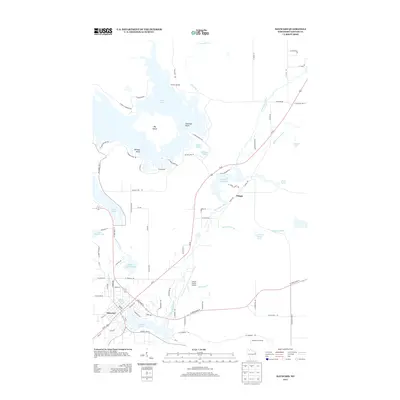 2013 Hayward2013 Print · USGSHayward and the upper Namekagon River valley are shown in detail during the early twenty-first century, highlighting a landscape defined by glacial lakes and river flowages. Researchers can trace the layout of Hayward, find the Sawyer County Airport, and locate points like Lenroot Landing and the Hayward Fire Tower.
 - 2013 Map of Stanberry East, 2013 Print
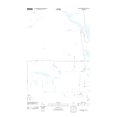 2013 Stanberry East2013 Print · USGSNorthern Wisconsin lake country is mapped in the early twenty-first century, showcasing the woods and waters around Stanberry. Researchers can trace the winding course of Chippanazie Cr or locate family-named routes near Nelson Lake and Smith Lake.
 - 2013 Map of Chittamo NE, 2013 Print
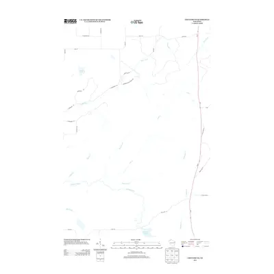 2013 Chittamo NE2013 Print · USGSWisconsin's northern forests and waterways are captured here in the early twenty-first century. Researchers can trace the path of the Totagatic River and locate uniquely named local landmarks like Copper Mine Rd and Camp Eatmore Rd.
 - 2013 Map of Totagatic Lake, 2013 Print
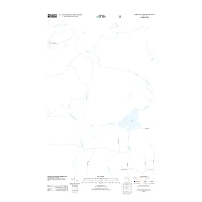 2013 Totagatic Lake2013 Print · USGSBayfield County’s water-rich landscape is captured here in the early twenty-first century as a network of rivers and forest roads. You can trace the hydrology of the Totagatic River and locate landmarks like the Smoky Hill Fire Tower and Sabin Lake.
 - 2013 Map of Cable, 2013 Print
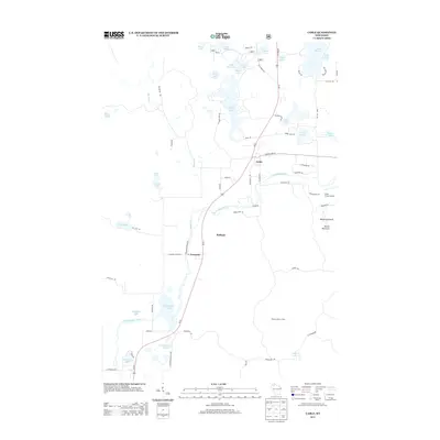 2013 Cable2013 Print · USGSCable and the winding Namekagon River are captured here in the early 2010s, showing a landscape of deep Northwoods character. Researchers can trace local landmarks like Mount Telemark, the Seeley Lookout Tower, and the lakeside settlements at Leonards and Radspur.
 - 2013 Map of Seeley, 2013 Print
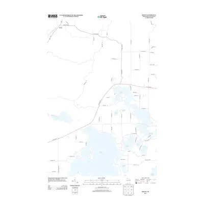 2013 Seeley2013 Print · USGSThe Northwoods around Seeley are captured here in the early twenty-first century, defined by a complex labyrinth of glacial lakes and river bends. Trace the winding Namekagon River or explore the detailed shorelines of Round Lake and the Tiger Cat Flowage.
 - 2015 Map of Totagatic Lake, 2015 Print
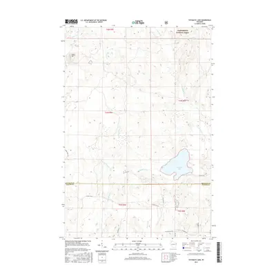 2015 Totagatic Lake2015 Print · USGSBayfield and Sawyer Counties are captured here in the mid-2010s, showcasing the water-rich landscape of the Wisconsin Northwoods. Researchers can trace the winding Totagatic River and explore the forest roads surrounding Totagatic Lake and Sabin Lake.
 - 2015 Map of Seeley, 2015 Print
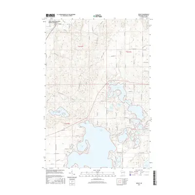 2015 Seeley2015 Print · USGSSeeley and the Sawyer County lakelands are shown here in the mid-2010s, highlighting the expansive waters of Round Lake and the winding Namekagon River. Local researchers can trace family landmarks like Riverside Cem and the complex shores of Tiger Cat Flowage.
 - 2015 Map of Hayward, 2015 Print
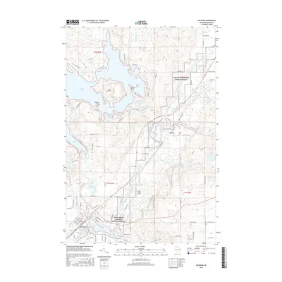 2015 Hayward2015 Print · USGSSawyer County at the midpoint of the 2010s reveals a landscape defined by the winding Namekagon River and the growing hub of Hayward. Local historians can trace the Wisconsin Central rail corridor and find local landmarks like Trinity Cem and Sawyer County Airport.
 - 2015 Map of Cable, 2015 Print
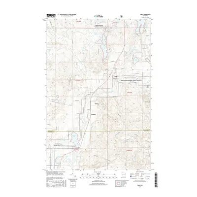 2015 Cable2015 Print · USGSThe village of Cable and its surrounding northwoods appear here in the mid-2010s, bordering the scenic Namekagon River valley. Genealogists and local historians can trace family sites at Saint Anne Cem or locate old rail stops like Radspur and Leonards.
 - 2015 Map of Stanberry East, 2015 Print
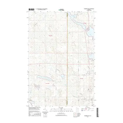 2015 Stanberry East2015 Print · USGSSawyer and Washburn counties are captured here in the mid-2010s, showcasing a landscape of glacial lakes and growing settlements. Genealogists and local historians can trace the outskirts of Hayward, locate Greenwood Cem, and explore the shores of Nelson Lake and Chippanazie Lake.
 - 2015 Map of Chittamo NE, 2015 Print
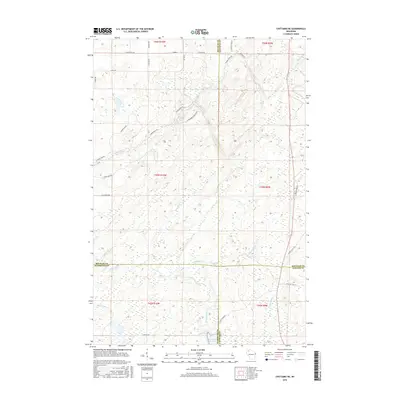 2015 Chittamo NE2015 Print · USGSWisconsin's Northwoods are captured here at the convergence of four counties during the mid-2010s. Researchers can trace the winding Totagatic River and locate remote landmarks like Goose Lake or uniquely named routes like Camp Eatmore Rd.
 - 2018 Map of Chittamo NE, 2018 Print
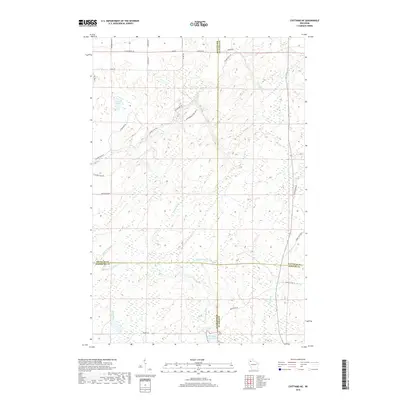 2018 Chittamo NE2018 Print · USGSNorthern Wisconsin’s wooded wetlands and river systems are documented here at the intersection of four counties. Researchers can trace the drainage of the Totagatic River and locate uniquely named local landmarks like Camp Eatmore Rd and Goose Lake.
 - 2018 Map of Stanberry East, 2018 Print
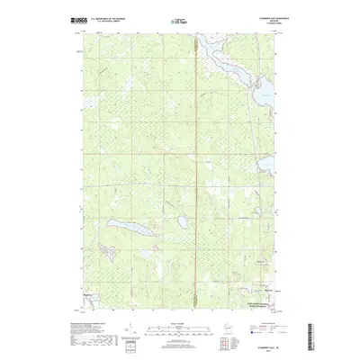 2018 Stanberry East2018 Print · USGSSawyer County at the dawn of the twenty-first century is defined by its extensive water bodies and the protected Saint Croix National Scenic Riverway. Genealogists and locals can trace family lands near Greenwood Cem, Stanberry, and Nelson Lake.
 - 2018 Map of Totagatic Lake, 2018 Print
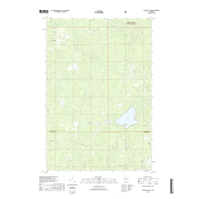 2018 Totagatic Lake2018 Print · USGSCrossing the border of Bayfield and Sawyer Counties in the late 2010s, this area is defined by the protected woods of the Chequamegon National Forest. Researchers can trace the winding Totagatic River and find secluded landmarks like Smoky Hill and Sabin Lake.
 - 2019 Map of Hayward, 2019 Print
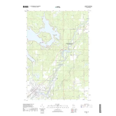 2019 Hayward2019 Print · USGSHayward and the upper Namekagon River are captured here in the late 2010s, showing a landscape defined by water and woods. Genealogists and local historians can trace the Soo Line tracks, locate the Trinity Cem, or explore the area around Phipps and Indian School Lake.
 - 2019 Map of Seeley, 2019 Print
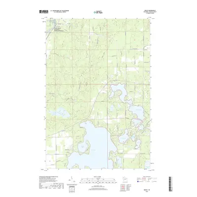 2019 Seeley2019 Print · USGSSawyer County’s northern lake country is shown in detail during the late twenty-teens, centered on the riverfront settlement of Seeley. Genealogists and outdoor historians can trace the shoreline of Round Lake or locate local landmarks like Riverside Cem and Seeley Pass.
 - 2019 Map of Cable, 2019 Print
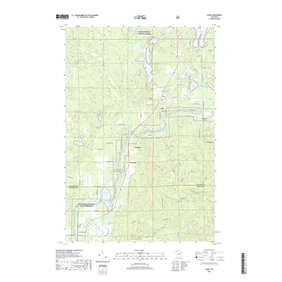 2019 Cable2019 Print · USGSCable and the Namekagon River valley are shown here in the late twenty-teens, surrounded by the deep woods of the National Forest. Researchers can locate Saint Anne Cem, the local Cable Union Airport, and small stops like Radspur and Leonards.
End of results
Showing maps 1-24 of 24
Top cities near Lenroot
- Hayward historical maps
- Cable historical maps
- Gordon historical maps
- Wascott historical maps
- Drummond historical maps
Top neighborhoods of Lenroot
Frequently asked questions
- What are the different types of historical maps available for Lenroot?
- What is the oldest map of Lenroot?
- Where can I purchase historical maps of Lenroot for my home or office?
- Where can I download high-res historical maps of Lenroot?
- Are there historical topographic maps available for Lenroot?
- Is there historical aerial imagery available for Lenroot?
- Where are historical maps of Lenroot sourced from?